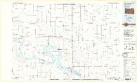
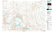
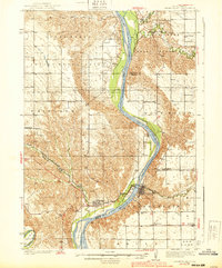
1985 Map of Big Bend Dam
USGS Topo · Published 1986About this map
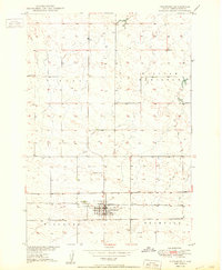
Lake Sharpe dominates this mid-1980s landscape, formed by the massive engineering of the Big Bend Dam. This stretch of the Missouri River is defined by complex political and historical boundaries, including the Crow Creek Indian Reservation Boundary, the Lower Brule Indian Reservation Boundary, and several remnants of an Old Indian Treaty Boundary. The map highlights a significant transition in land use, where large-scale water management projects meet the rural prairie settlements of Stephan and Fort Thompson. Numerous recreation and production areas, such as the West Bend Recreation Area and National Waterfowl Production Area, line the shores of the Missouri and Lake Francis Case. Inland, the terrain is carved by intricate creek systems like Medicine Knoll Creek and Wolf Creek, supporting small communities like the Miller Dale Colony.
Find a feature on this map
80 named features on this map. Tap any name to fly to it.
Don’t see what you’re looking for? This feature index may not catch every label — zoom into the map to look around manually.
Map Details
Editions of this 1985 Big Bend Dam Map
2 editions found
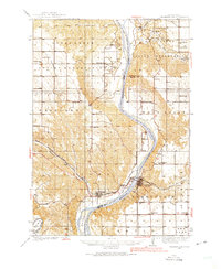
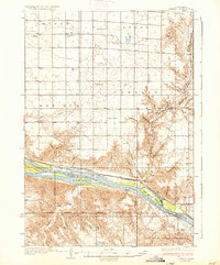
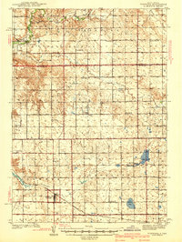
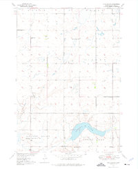
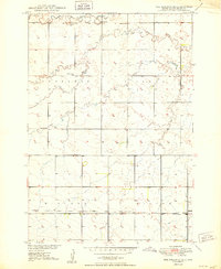
Other maps of this area

1899 · Redfield
USGS Topo · 1:125,000

1934 · Canning
USGS Topo · 1:48,000
1935 · Chamberlain
USGS Topo · 1:62,500
1937 · Canning
USGS Topo · 1:62,500
1939 · Chamberlain
USGS Topo · 1:62,500
1941 · Pukwana
USGS Topo · 1:62,500

1941 · Kimball North
USGS Topo · 1:62,500
1949 · Vayland SW
USGS Topo · 1:24,000
1950 · Ree Heights SE
USGS Topo · 1:24,000
1950 · Highmore
USGS Topo · 1:24,000
Featured Places
- Millerdale Hutterite Colony, SD
- Stephan, Fort Thompson District
- Victory West Township, Fort Thompson District
- Mac's Corner, Fort Thompson District
- Grant East Township, SD