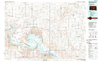
1985 Map of Big Bend Dam
USGS Topo · Published 1989About this map
Big Bend Dam anchors this mid-1980s landscape, holding back the massive waters of Lake Sharpe as it winds through central South Dakota. The map captures a complex system of water management and land use, defined by the extensive Crow Creek Indian Reservation Boundary and various State Game Production Areas. Along the sweeping curves of the Missouri River, recreation sites like Iron Nation Recreation Area and West Bend Recreation Area line the shorelines. Inland, the map documents small settlements and agricultural sites such as Stephan, Lees Corner, and the Miller Dale Colony. The presence of the Old Indian Treaty Boundary provides a significant historical layer for researchers, marking the division of territory alongside natural drainages like Medicine Knoll Creek and Chapelle Creek.
Find a feature on this map
56 named features on this map. Tap any name to fly to it.
Don’t see what you’re looking for? This feature index may not catch every label — zoom into the map to look around manually.
Map Details
Editions of this 1985 Big Bend Dam Map
2 editions found
Historical Maps of Fort Thompson District Through Time
27 maps found

1934 Canning
Hughes County, SD
1937 Canning
Hughes County, SD

1966 Joe Creek
Hughes County, SD

1966 Lower Brule NW
Hughes County, SD
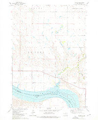
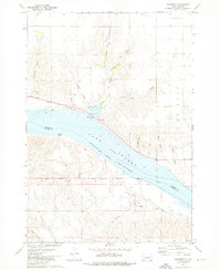
1967 Canning
Hughes County, SD
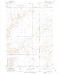
1967 Canning NW
Hughes County, SD
1967 De Grey NE
Hughes County, SD
1967 De Grey NW
Hughes County, SD

1967 Pierre NE
Hughes County, SD
1973 Chapelle Lake NW
Hughes County, SD

1973 Chapelle Lake SW
Hughes County, SD
1973 De Grey
Hughes County, SD
1973 De Grey SE
Hughes County, SD
1973 Rousseau
Hughes County, SD
1985 Big Bend Dam
Hughes County, SD
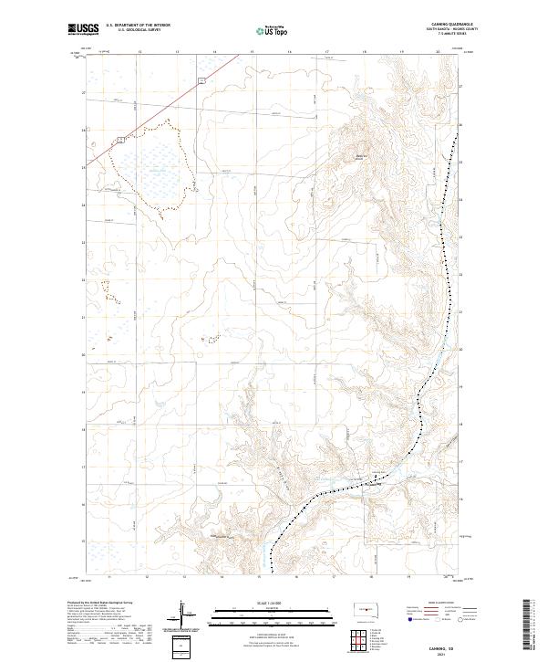
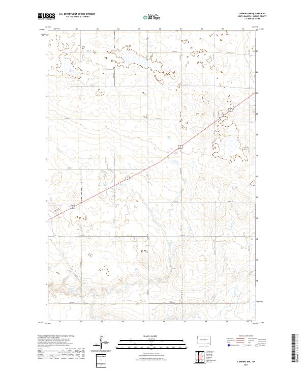
2021 Canning
Hughes County, SD
2021 Canning NW
Hughes County, SD
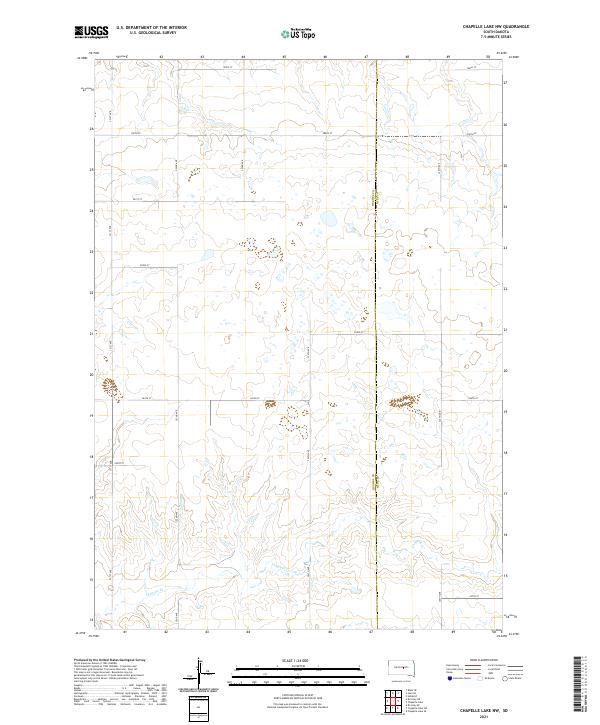
2021 Chapelle Lake NW
Hughes County, SD
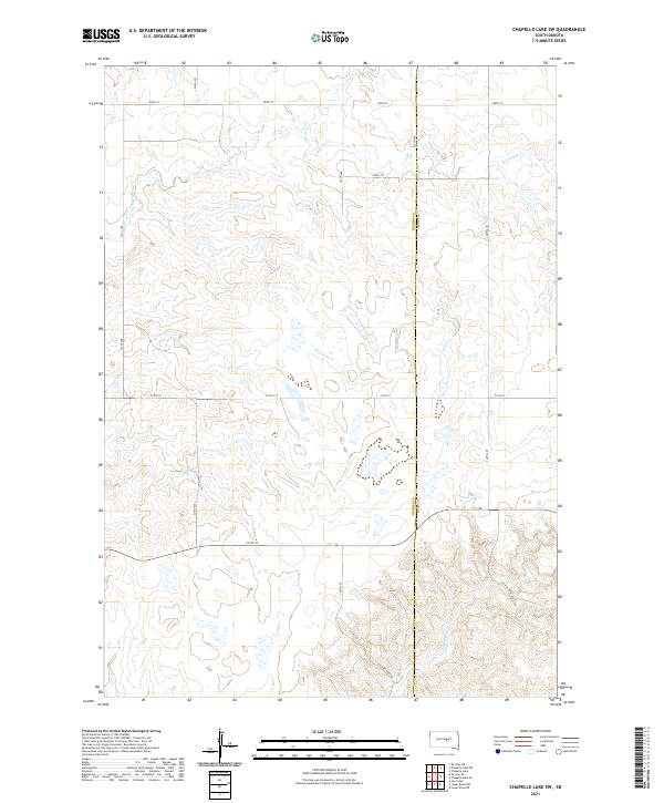
2021 Chapelle Lake SW
Hughes County, SD
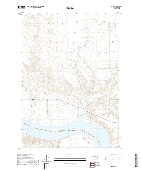
2021 De Grey
Hughes County, SD
2021 De Grey NE
Hughes County, SD
2021 De Grey NW
Hughes County, SD
2021 De Grey SE
Hughes County, SD
2021 Joe Creek
Hughes County, SD
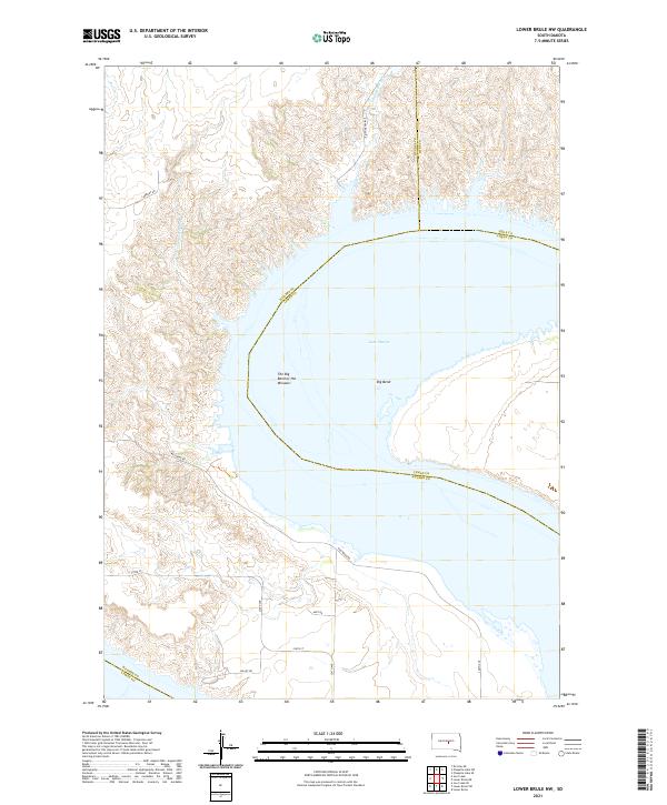
2021 Lower Brule NW
Hughes County, SD
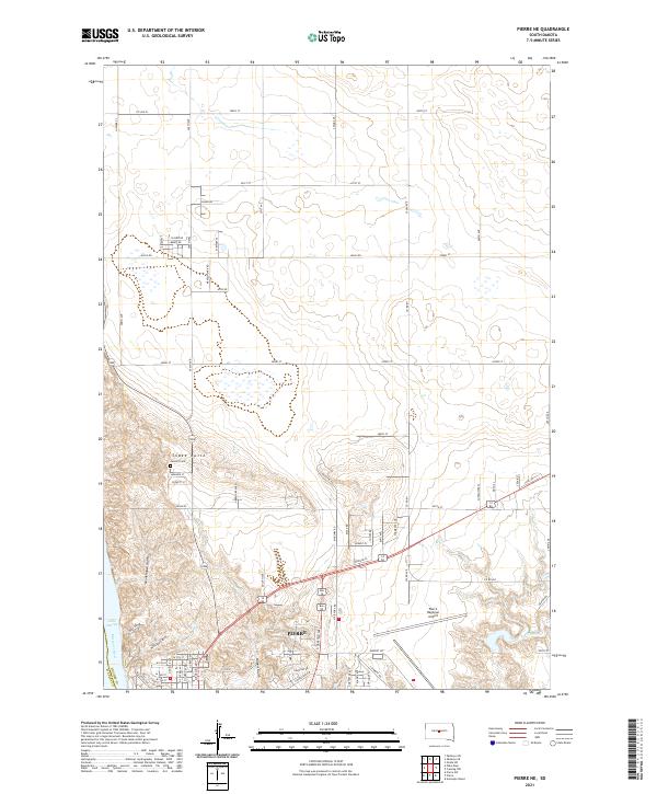
2021 Pierre NE
Hughes County, SD
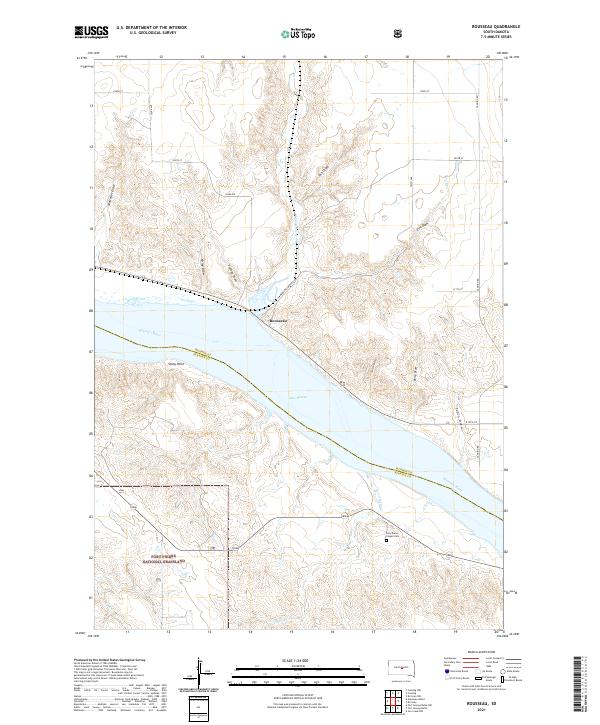
2021 Rousseau
Hughes County, SD
Featured Locations
- Fort Thompson District, SD
- De Grey, SD
- Grey Hill East Township, Fort Thompson District
- Stephan, Fort Thompson District
- West Brule, SD