Old Maps of Vivian, South Dakota for Genealogy
Trace your family roots with 8 historic maps of Vivian. These high-res maps reveal old neighborhoods, homesites, landmarks, and streets — helping you uncover where your ancestors lived and how the area evolved over time.
- Explore historic neighborhoods: Identify where your relatives may have lived in the 1800s or 1900s.
- Compare maps over time: Trace the changes in streets, buildings, and landmarks for multi-generational research.
- Perfect for genealogy & ancestry research: Used by family historians and researchers to map out lineage and migration.
These maps are an incredible resource for exploring your personal connection to Vivian's past.
Vivian, SD maps
(8)- 1955 Map of Martin, 1968 Print
 1955 Martin1968 Print · USGSTribal lands and rail corridors define the South Dakota plains in the mid-fifties, from the sand hills to the badlands. Genealogists and historians can trace the early layout of Pine Ridge Indian Reservation settlements and find small rail towns like Stamford and Witten.2 unique versions available
 - 1958 Map of Martin
 1958 Martin1958 Print · USGSSouth Dakota's southern plains are documented here in the late fifties, showing the expansive Pine Ridge and Rosebud Indian Reservations. Genealogists and historians can locate early settlements along the Chicago Milwaukee St Paul and Pacific line or find family roots near Martin and the Indian Cemetery.
 - 1972 Map of Vivian, 1975 Print
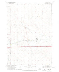 1972 Vivian1975 Print · USGSVivian was a vital crossroads in the early 1970s, where the Missouri Plateau's rail and highway networks met. Researchers can trace the layout of the Chicago Milwaukee St Paul and Pacific line and find local landmarks like the Smith Brothers Landing Strip and Vivian Cem.
 - 1985 Map of White River, 1986 Print
 1985 White River1986 Print · USGSSouth-central South Dakota comes into focus during the mid-eighties as a critical junction of rail and river life. Researchers can trace the Chicago and North Western line through high-plains towns like Murdo and Presho or locate rural landmarks such as Stony Butte and Fate Dam.2 unique versions available
 - 2012 Map of Vivian, 2012 Print
 2012 Vivian2012 Print · USGSCovers Vivian, including Jones County, Lyman County, and other nearby areas
 - 2015 Map of Vivian, 2015 Print
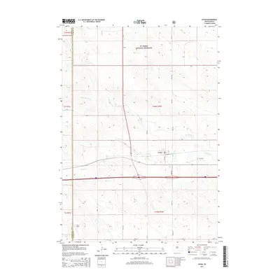 2015 Vivian2015 Print · USGSCovers Vivian, including Jones County, Lyman County, and other nearby areas
 - 2017 Map of Vivian, 2017 Print
 2017 Vivian2017 Print · USGSCovers Vivian, including Jones County, Lyman County, and other nearby areas
 - 2021 Map of Vivian, 2021 Print
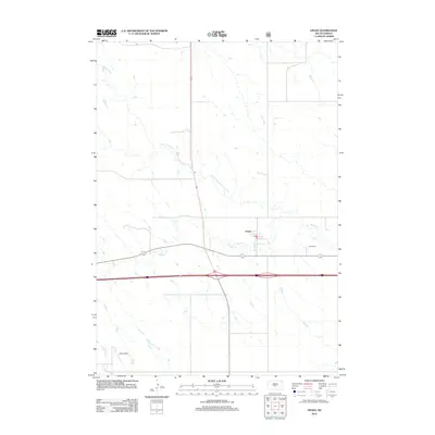
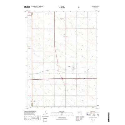
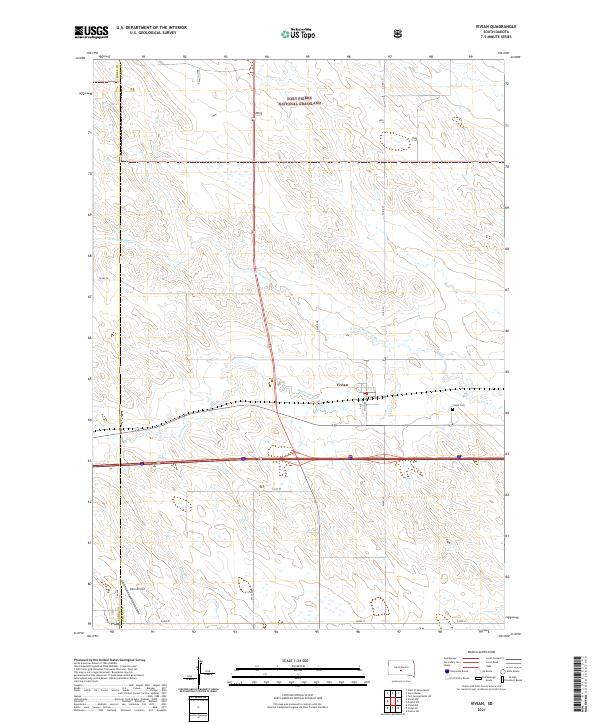 2021 Vivian2021 Print · USGSVivian and the surrounding Lyman County prairie are shown here in the early 2020s as the town remains a key prairie crossroads. Genealogists and local researchers can locate the Vivian Cem, trace Medicine Cr, and see the extent of the Fort Pierre National Grassland.
End of results
Showing maps 1-8 of 8
Top cities near Vivian
Frequently asked questions
- What are the different types of historical maps available for Vivian?
- What is the oldest map of Vivian?
- Where can I purchase historical maps of Vivian for my home or office?
- Where can I download high-res historical maps of Vivian?
- Are there historical topographic maps available for Vivian?
- Is there historical aerial imagery available for Vivian?
- Where are historical maps of Vivian sourced from?