2020s Maps of Marshall County, South Dakota
Explore 32 historic maps of Marshall County from the 2020s. These maps offer a rare glimpse into what life looked like during the 2020s — showing old roads, neighborhoods, homes, and landmarks that have changed or disappeared over time.
Whether you're researching your family's past, planning a metal detecting trip, or studying how Marshall County's landscape evolved across the 2020s, these high-resolution maps are a powerful tool for exploring the history of this region.
- Focus on a specific era: All maps on this page are from the 2020s, giving you a focused view of this time period.
- See what’s changed: Compare century-old streets, trails, and buildings to today's modern landscape using overlays and satellite layers.
- Research with precision: Use these maps for genealogy, historical research, land use analysis, or educational projects.
- View, download, or print: Maps are fully viewable online in high resolution, and can be downloaded or printed for your own records.
Start exploring Marshall County's history through authentic maps from the 2020s. This is your window into the past.
Marshall County, SD maps
(32)- 2020 Map of Havana, 2020 Print
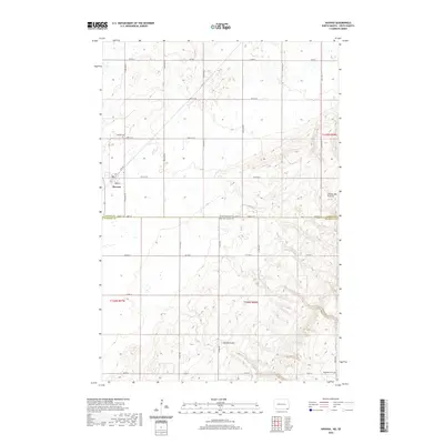 2020 Havana2020 Print · USGSCovers Marshall County, including Havana, Weber Township, and other nearby areas
 - 2020 Map of Claire City NW, 2020 Print
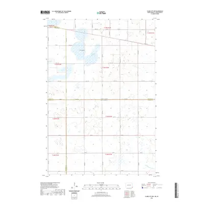 2020 Claire City NW2020 Print · USGSCovers Marshall County, including Heipa District, Marboe Township, and other nearby areas
 - 2020 Map of Veblen NE, 2020 Print
 2020 Veblen NE2020 Print · USGSCovers Marshall County, including Tewaukon Township, Heipa District, and other nearby areas
 - 2020 Map of Newark NW, 2020 Print
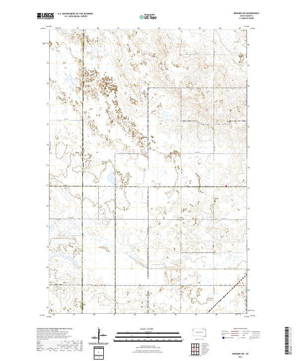
 2020 Newark NW2020 Print · USGSCovers Marshall County, including Brampton Township, Portage Township, and other nearby areas
 - 2021 Map of Marlow, 2021 Print
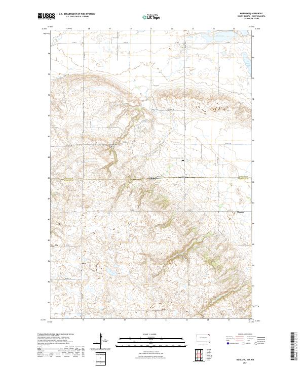 2021 Marlow2021 Print · USGSThe high plateau of the Coteau des Prairies defines this borderland between North and South Dakota in the twenty-first century. Genealogists and local historians can locate the community of Marlow and the nearby Immanuel Cem among the windswept hills.
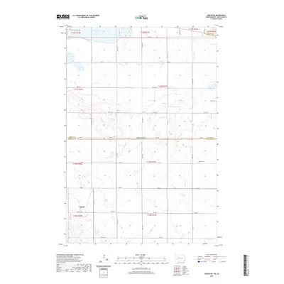
 - 2021 Map of Amherst, 2021 Print
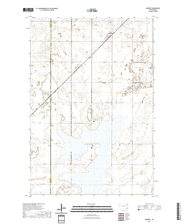 2021 Amherst2021 Print · USGSThe community of Amherst is the focal point of this modern survey of the northeastern South Dakota plains. Genealogists and local historians can trace legacy sites like the Newport Colony Cem and Free Mission Cem among the wetlands.
 - 2021 Map of Langford, 2021 Print
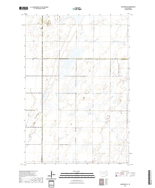
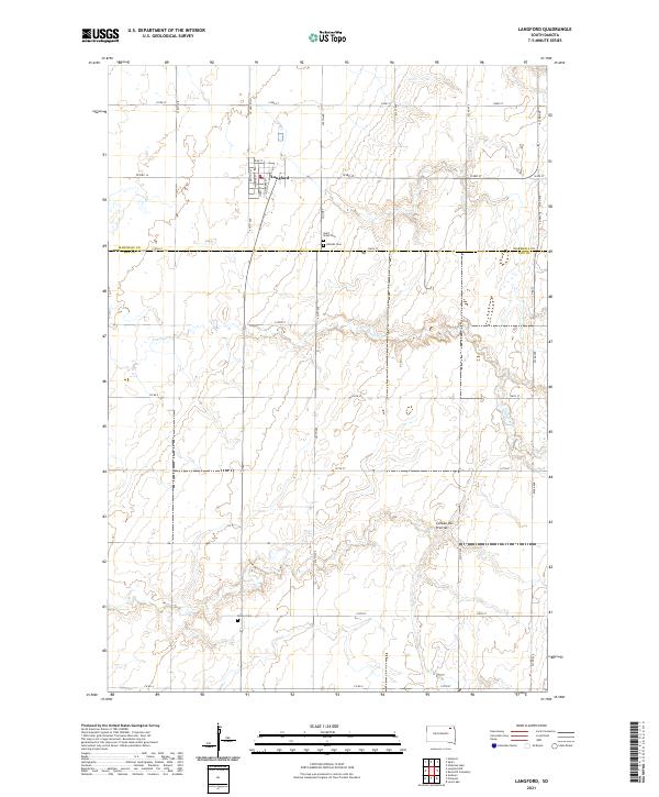 2021 Langford2021 Print · USGSNorthern South Dakota farming life is captured here in the early twenty-first century. Genealogists can locate Langford and several rural burying grounds like Saint Peter Cem and Homer Cem among the wetlands.
 - 2021 Map of Claire City SW, 2021 Print
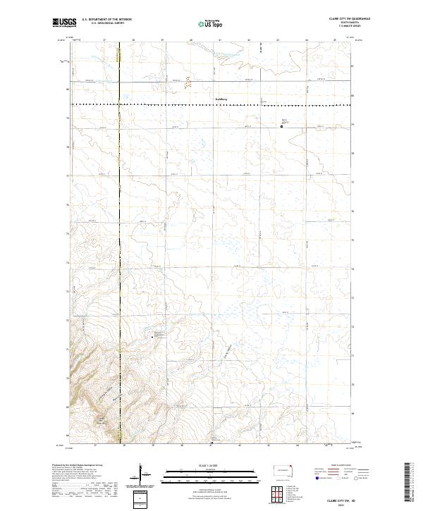 2021 Claire City SW2021 Print · USGSThe Coteau des Prairies in South Dakota is captured here in the early 2020s, showing the high glacial plateau as it transitions toward the Minnesota River valley. Genealogists and local historians can locate Bethel Lutheran Cem and Dahlberg, or trace the paths of Munson Cr and Uncle John Coulee.
 - 2021 Map of Britton East, 2021 Print
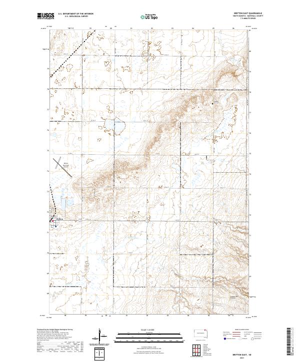 2021 Britton East2021 Print · USGSIn Marshall County during the early 2020s, the landscape around the town of Britton remains a structured grid of prairie farms and prairie waterways. Genealogists and local historians can trace legacy sites like Pleasant Hill Cem or the winding path of Wild Rice Cr.
 - 2021 Map of South Red Iron Lake, 2021 Print
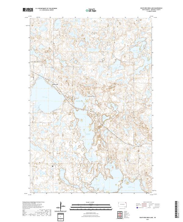 2021 South Red Iron Lake2021 Print · USGSMarshall County's glacial landscape is captured in the early 2020s, showcasing the intricate chain of lakes and wetlands atop the Coteau des Prairies. Local researchers can trace family landmarks like the Old Eden Cem or survey the shorelines of North Red Iron Lake and Clear Lake.
 - 2021 Map of Piyas Lake, 2021 Print
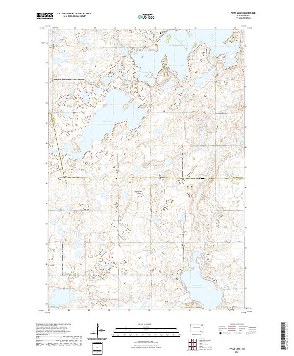 2021 Piyas Lake2021 Print · USGSGlacial lakes and rural section lines define the Marshall and Day County border in the early twenty-first century. Genealogists and local researchers can locate the Buffalo Lake Cem and trace property boundaries near Piyas Lake and Pickerel Lake.
 - 2021 Map of Stangland Slough, 2021 Print
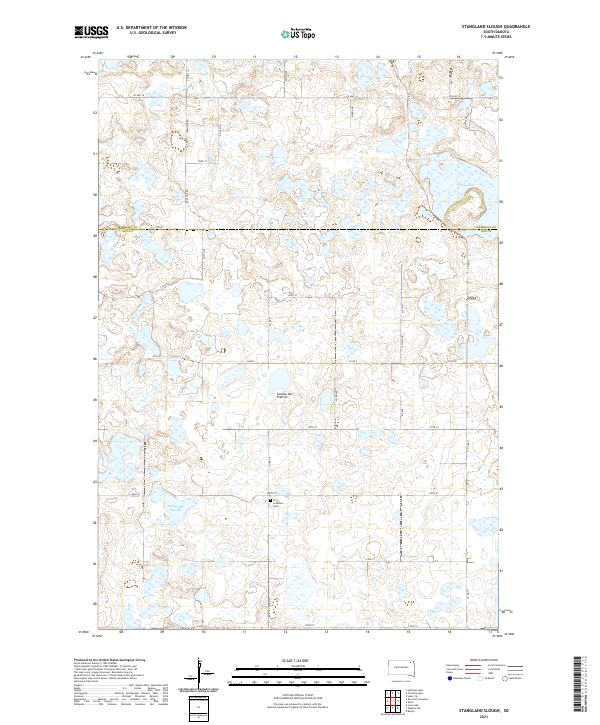 2021 Stangland Slough2021 Print · USGSThe glacial wetlands of Day and Marshall counties are captured here in the early twenty-first century. Genealogists and local historians can locate the Fron Lutheran Cem and trace rural routes like Rose Hill Rd near Stangland Slough.
 - 2021 Map of Spain, 2021 Print
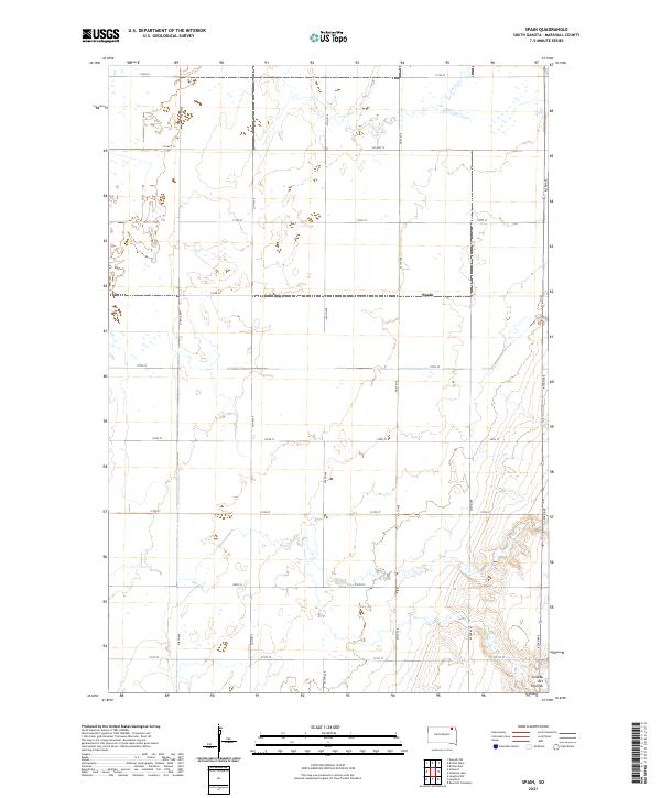 2021 Spain2021 Print · USGSMarshall County's agricultural heartland is documented here in the early twenty-first century, showing the intersection of rural life and terrain. Researchers can trace the rural landscape around Spain and the rising elevations of the Coteau des Prairies.
 - 2021 Map of Drywood Lakes, 2021 Print
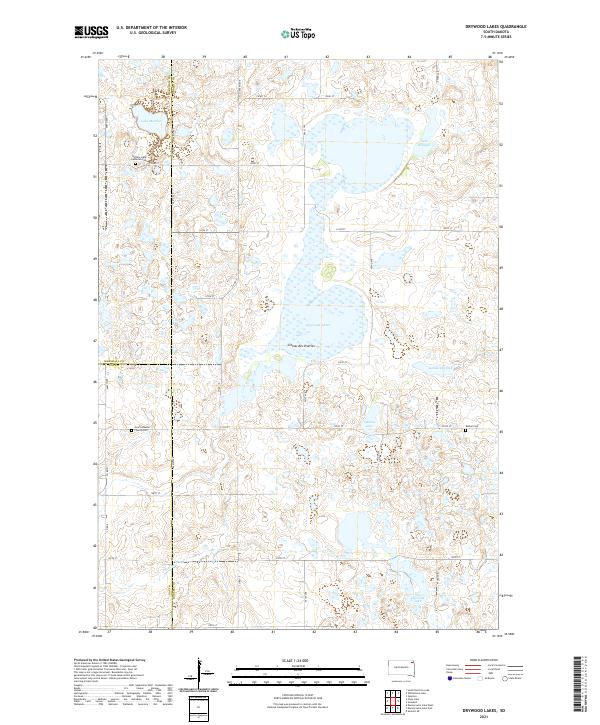 2021 Drywood Lakes2021 Print · USGSThe Coteau des Prairies plateau in the early twenty-first century remains a landscape of glacial lakes and pioneer-era landmarks. Genealogists can trace family history at the Buffalo Lake Lutheran Cem, Bethel Cem, and Zoar Lutheran Church Cem.
 - 2021 Map of Twomile Lake, 2021 Print
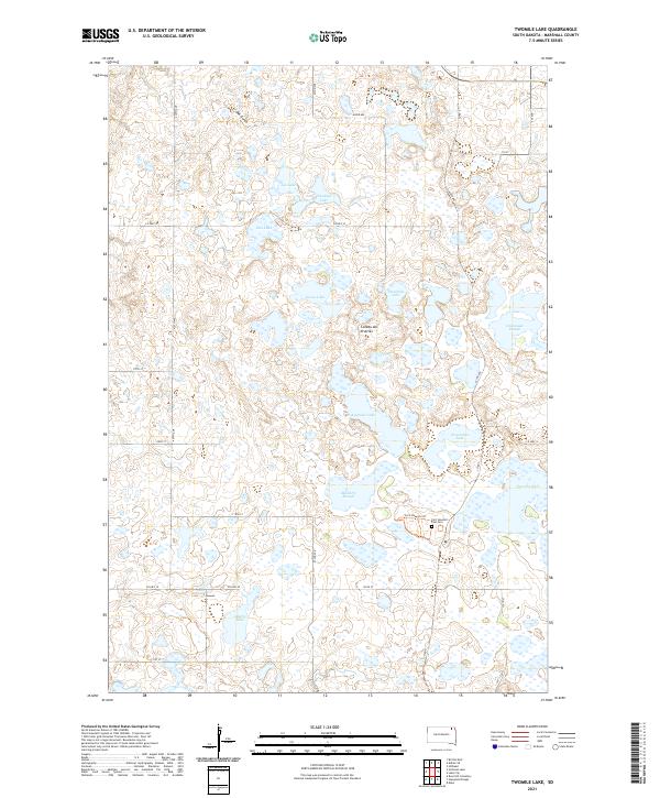 2021 Twomile Lake2021 Print · USGSMarshall County in the 2020s remains a landscape of glacial lakes and historic prairie trails. Genealogists and historians can locate Fort Sisseton Post Cem and trace the Fort Sisseton Trl past Mallard Slough.
 - 2021 Map of Hillhead, 2021 Print
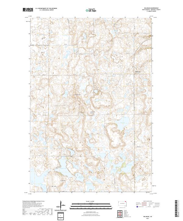 2021 Hillhead2021 Print · USGSThe rural landscape near Hillhead is captured here in the early twenty-first century, showing the intricate grid of the Coteau des Prairies. Genealogists can trace local landmarks like Six Mile Hill, Isabelle Lake, and Ninemile Lake.
 - 2021 Map of Whitestone Lake, 2021 Print
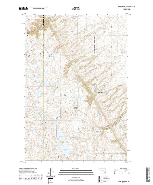 2021 Whitestone Lake2021 Print · USGSThe Roberts County prairie is captured here in the early 21st century, showing a landscape of glacial lakes and deep ravines. Researchers can locate remote family burial sites like Roy Cem and Spring Valley Cem or trace the winding Trail of Spirits Trl through the coulees.
 - 2021 Map of Kidder, 2021 Print
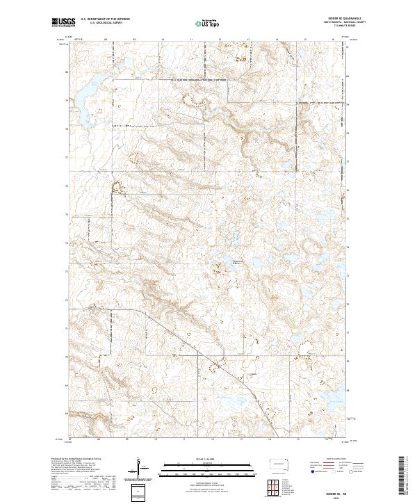
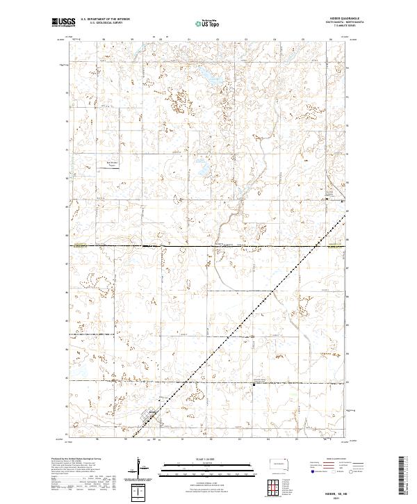 2021 Kidder2021 Print · USGSThe borderlands of North and South Dakota come alive in this 2021 record of a rural prairie community. Genealogists and historians can trace local family roots through sites like Kidder Cem, Pleasant Valley Lutheran Ch, and Kidder.
 - 2021 Map of Hickman Lake, 2021 Print
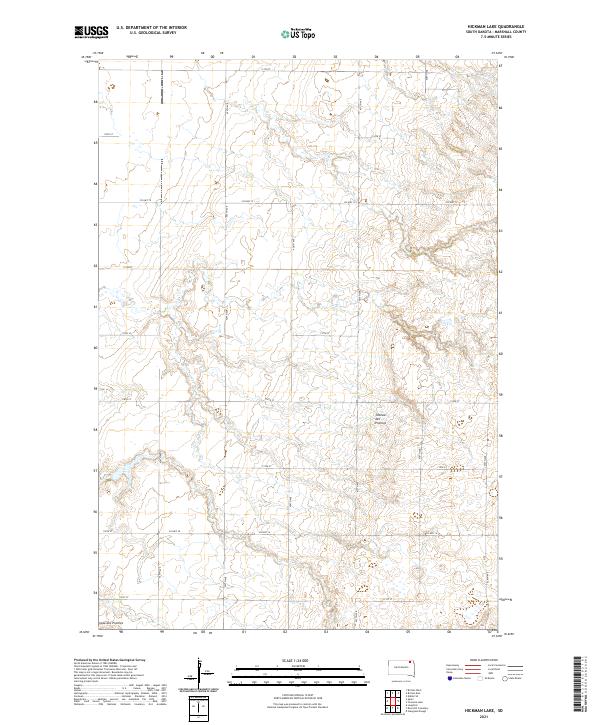 2021 Hickman Lake2021 Print · USGSMarshall County's agricultural highlands are captured here in the early twenty-first century, showing the grid of the northern plains. Trace the section lines and rural routes like Co Hwy 12 across the distinctive terrain of the Coteau des Prairies.
 - 2021 Map of Langford SW, 2021 Print
 2021 Langford SW2021 Print · USGSNorthern South Dakota prairie and wetlands are mapped here in the early 2020s where Brown, Marshall, and Day counties meet. Genealogists and local historians can locate Augustana Cem and trace the seasonal path of Antelope Cr across the rural grid.
 - 2021 Map of Lake City, 2021 Print
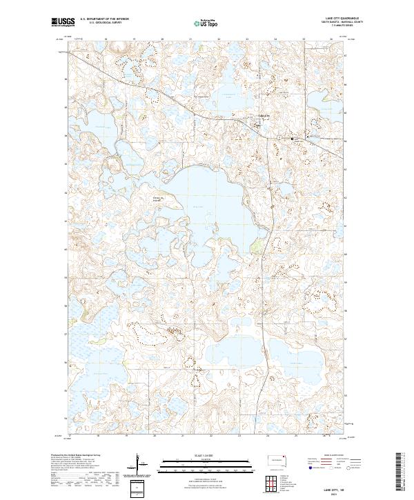 2021 Lake City2021 Print · USGSIn the glacial lake country of Northeast South Dakota, this survey shows the settlement of Lake City surrounded by the unique hydrology of the Coteau des Prairies. Researchers can trace local heritage at Saint Joseph Cem or explore the shorelines of Roy Lake and Fourmile Lake.
 - 2021 Map of Kidder SE, 2021 Print
 2021 Kidder SE2021 Print · USGSThe Marshall County prairie is seen here during the early twenty-first century, showing the rugged glacial drainage of the Coteau des Prairies. Researchers can trace the local road network and water features like White Lake, Oak Gulch, and Wild Rice Cr.
 - 2021 Map of Eden, 2021 Print
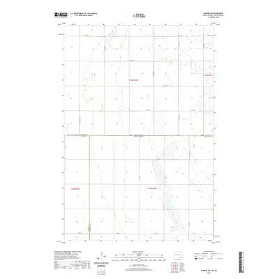
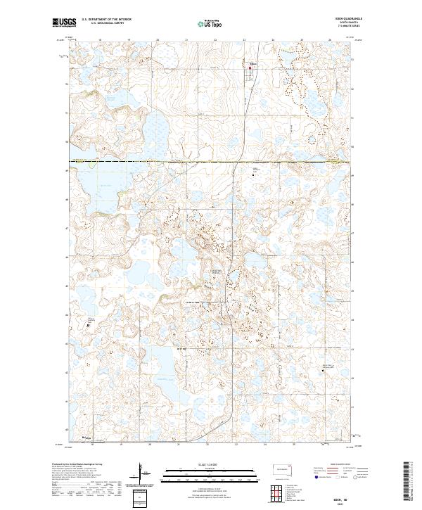 2021 Eden2021 Print · USGSNortheastern South Dakota's glacial landscape is meticulously detailed here, showing the rural communities of Eden and Roslyn in the early 2020s. Researchers can trace family roots through landmarks like Saint Michael's Cem, German Lutheran Cem, and Hazelden Lake.
 - 2021 Map of Newark SW, 2021 Print
 2021 Newark SW2021 Print · USGSAgricultural lands on the Marshall and Brown County line appear in high detail during the early 2020s. Researchers can trace the meandering Crow Cr and a dense network of sectional section roads like CO HWY 11 and 411th Ave.
 - 2021 Map of Britton West, 2021 Print
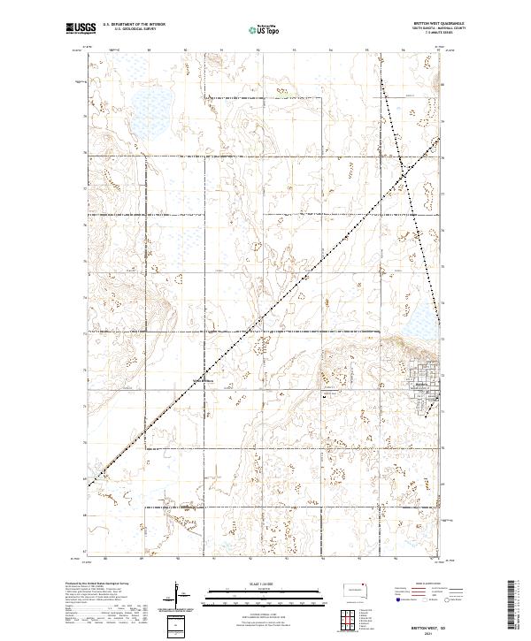 2021 Britton West2021 Print · USGSMarshall County in the early twenty-first century reveals the organized grid of a prairie county seat. Researchers can locate civic landmarks like the Marshall County Courthouse, the Britton Cem, and follow the path of Crow Cr.
Showing maps 1-25 of 32
Top cities of Marshall County
- Britton historical maps
- Langford historical maps
- Eden historical maps
- Newark historical maps
- Lake City historical maps
Frequently asked questions
- What are the different types of historical maps available for Marshall County?
- What is the oldest map of Marshall County?
- Where can I purchase historical maps of Marshall County for my home or office?
- Where can I download high-res historical maps of Marshall County?
- Are there historical topographic maps available for Marshall County?
- Is there historical aerial imagery available for Marshall County?
- Where are historical maps of Marshall County sourced from?