2000s (21st Century) Maps of Marshall County, South Dakota
Explore 119 historic maps of Marshall County from the 2000s (21st Century). These maps offer a rare glimpse into what life looked like during the 2000s — showing old roads, neighborhoods, homes, and landmarks that have changed or disappeared over time.
Whether you're researching your family's past, planning a metal detecting trip, or studying how Marshall County's landscape evolved across the 2000s, these high-resolution maps are a powerful tool for exploring the history of this region.
- Focus on a specific era: All maps on this page are from the 2000s, giving you a focused view of this time period.
- See what’s changed: Compare century-old streets, trails, and buildings to today's modern landscape using overlays and satellite layers.
- Research with precision: Use these maps for genealogy, historical research, land use analysis, or educational projects.
- View, download, or print: Maps are fully viewable online in high resolution, and can be downloaded or printed for your own records.
Start exploring Marshall County's history through authentic maps from the 2000s. This is your window into the past.
Marshall County, SD maps
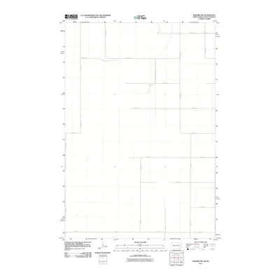
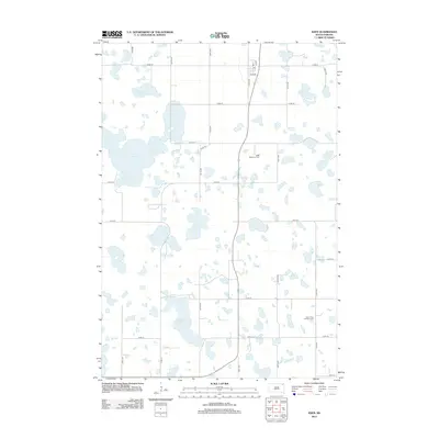
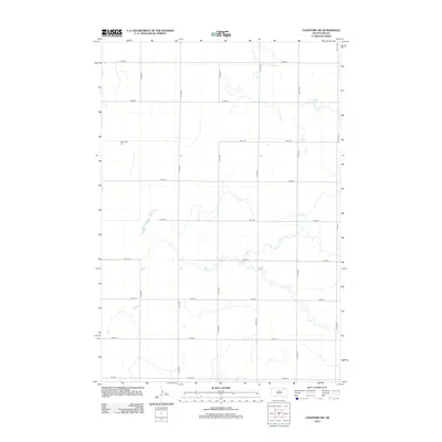
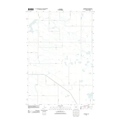
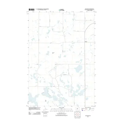
(119)- 2011 Map of Marlow, 2011 Print
 2011 Marlow2011 Print · USGSCovers Marshall County, including Tewaukon Township, Heipa District, and other nearby areas
 - 2011 Map of Veblen NE, 2011 Print
 2011 Veblen NE2011 Print · USGSCovers Marshall County, including Tewaukon Township, Heipa District, and other nearby areas
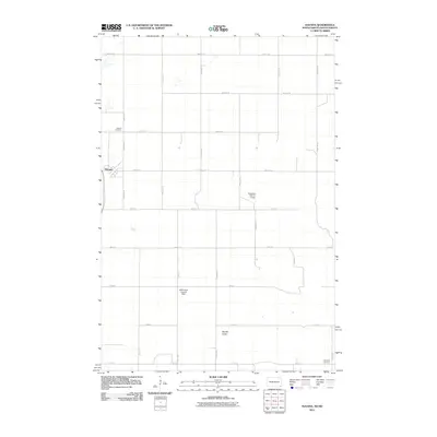
 - 2011 Map of Newark, 2011 Print
 2011 Newark2011 Print · USGSCovers Marshall County, including Brampton Township, Newark, and other nearby areas
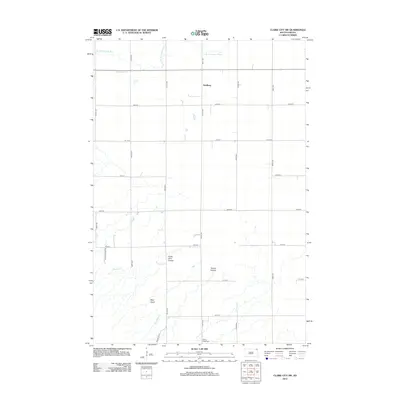
 - 2011 Map of Claire City NW, 2011 Print
 2011 Claire City NW2011 Print · USGSCovers Marshall County, including Heipa District, Marboe Township, and other nearby areas
 - 2011 Map of Newark NW, 2011 Print
 2011 Newark NW2011 Print · USGSCovers Marshall County, including Brampton Township, Portage Township, and other nearby areas
 - 2011 Map of Havana, 2011 Print
 2011 Havana2011 Print · USGSCovers Marshall County, including Havana, Weber Township, and other nearby areas
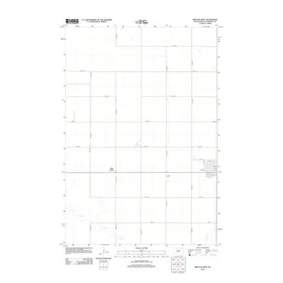
 - 2011 Map of Kidder, 2011 Print
 2011 Kidder2011 Print · USGSCovers Marshall County, including Taylor Township, Weber Township, and other nearby areas
 - 2012 Map of Spain, 2012 Print
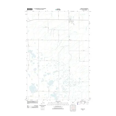
 2012 Spain2012 Print · USGSCovers Marshall County, including Spain, United States, and other nearby areas
 - 2012 Map of Eden, 2012 Print
 2012 Eden2012 Print · USGSCovers Marshall County, including Roslyn, Eden, and other nearby areas
 - 2012 Map of Langford, 2012 Print
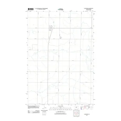 2012 Langford2012 Print · USGSCovers Marshall County, including Langford, Day County, and other nearby areas
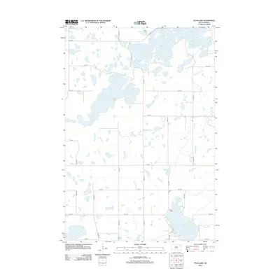
 - 2012 Map of South Red Iron Lake, 2012 Print
 2012 South Red Iron Lake2012 Print · USGSCovers Marshall County, including Clear Lake, Heipa District, and other nearby areas
 - 2012 Map of Twomile Lake, 2012 Print
 2012 Twomile Lake2012 Print · USGSCovers Marshall County, including United States, South Dakota, and other nearby areas
 - 2012 Map of Langford SW, 2012 Print
 2012 Langford SW2012 Print · USGSCovers Marshall County, including Riverside Township, Groton Township, and other nearby areas
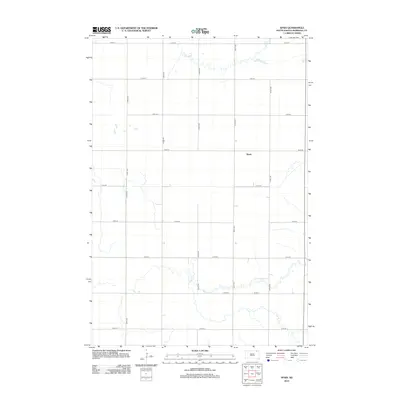
 - 2012 Map of Veblen, 2012 Print
 2012 Veblen2012 Print · USGSCovers Marshall County, including Veblen, Heipa District, and other nearby areas
 - 2012 Map of Piyas Lake, 2012 Print
 2012 Piyas Lake2012 Print · USGSCovers Marshall County, including Enemy Swim District, Clear Lake, and other nearby areas
 - 2012 Map of Rose Hill Cemetery, 2012 Print
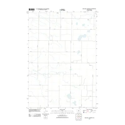 2012 Rose Hill Cemetery2012 Print · USGSCovers Marshall County, including Day County, United States, and other nearby areas
 - 2012 Map of Kidder SE, 2012 Print
 2012 Kidder SE2012 Print · USGSCovers Marshall County, including United States, South Dakota, and other nearby areas
 - 2012 Map of Whitestone Lake, 2012 Print
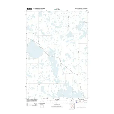
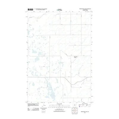 2012 Whitestone Lake2012 Print · USGSCovers Marshall County, including Long Hollow, Old Agency District, and other nearby areas
 - 2012 Map of Britton East, 2012 Print
 2012 Britton East2012 Print · USGSCovers Marshall County, including Britton, United States, and other nearby areas
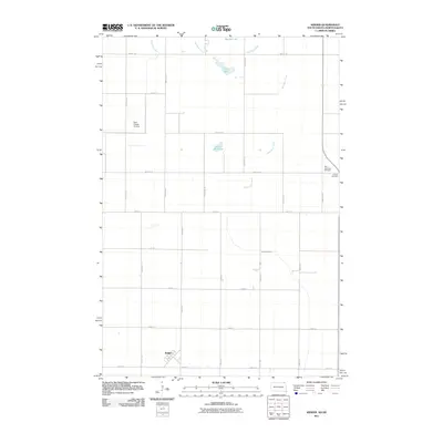
 - 2012 Map of Amherst, 2012 Print
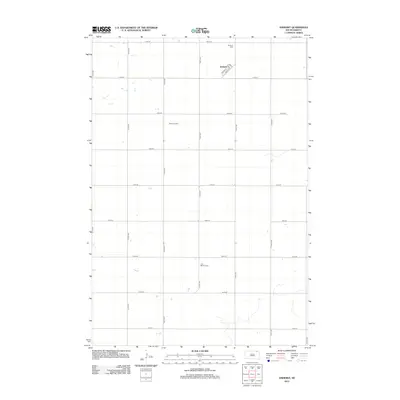 2012 Amherst2012 Print · USGSCovers Marshall County, including Newport Hutterite Colony, Amherst, and other nearby areas
 - 2012 Map of Hillhead, 2012 Print
 2012 Hillhead2012 Print · USGSCovers Marshall County, including Hillhead, Heipa District, and other nearby areas
 - 2012 Map of Britton West, 2012 Print
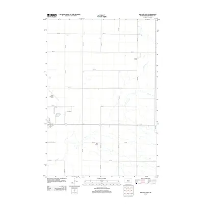
 2012 Britton West2012 Print · USGSCovers Marshall County, including Britton, West Britton, and other nearby areas
 - 2012 Map of Hickman Lake, 2012 Print
 2012 Hickman Lake2012 Print · USGSCovers Marshall County, including United States, South Dakota, and other nearby areas
 - 2012 Map of Claire City SW, 2012 Print
 2012 Claire City SW2012 Print · USGSCovers Marshall County, including Dahlberg, Heipa District, and other nearby areas
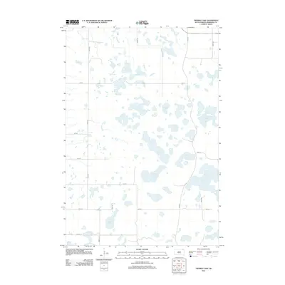
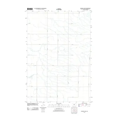
 - 2012 Map of Drywood Lakes, 2012 Print
 2012 Drywood Lakes2012 Print · USGSCovers Marshall County, including Old Agency District, Enemy Swim District, and other nearby areas
Showing maps 1-25 of 119
Top cities of Marshall County
- Britton historical maps
- Langford historical maps
- Eden historical maps
- Newark historical maps
- Lake City historical maps
Frequently asked questions
- What are the different types of historical maps available for Marshall County?
- What is the oldest map of Marshall County?
- Where can I purchase historical maps of Marshall County for my home or office?
- Where can I download high-res historical maps of Marshall County?
- Are there historical topographic maps available for Marshall County?
- Is there historical aerial imagery available for Marshall County?
- Where are historical maps of Marshall County sourced from?