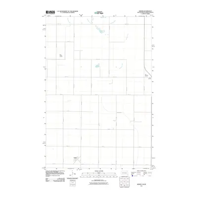
2011 Map of Kidder
USGS Topo · Published 2011About this map
The settlement of Kidder anchors the southwestern corner of this survey, which spans the border between South Dakota and North Dakota. This prairie landscape is defined by the wandering course of the Wild Rice River and Wild Rice Creek, creating a series of small, isolated water bodies including Buttke Lake, Lake Dell, and Golden Hill Lake. The section lines of the Public Land Survey System remain the primary driver of human geography here, with a rigid grid of rural roads such as 100th St SE and 128th Ave SE crossing the open terrain.
Find a feature on this map
28 named features on this map. Tap any name to fly to it.
Don’t see what you’re looking for? This feature index may not catch every label — zoom into the map to look around manually.
Map Details
Editions of this 2011 Kidder Map
This is the sole edition of this map. No revisions or reprints were ever made.
Other maps of this area

1953 · Britton East
USGS Topo · 1:24,000

1953 · Kidder
USGS Topo · 1:24,000

1953 · Newark
USGS Topo · 1:24,000

1953 · Milbank
USGS Topo · 1:250,000

1953 · Fargo
USGS Topo · 1:250,000

1954 · Kidder SE
USGS Topo · 1:24,000

1956 · Fargo
USGS Topo · 1:250,000

1956 · Havana
USGS Topo · 1:24,000

1956 · Britton West
USGS Topo · 1:24,000

1957 · Cogswell
USGS Topo · 1:24,000