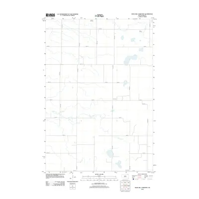
2012 Map of Rose Hill Cemetery
USGS Topo · Published 2012About this map
Antelope Cr meanders across this rural section of Marshall County, defining a landscape of wetlands and prairie drainage. The area is characterized by a precise grid of section-line roads, including 424th Ave and 130th St, which serve the agricultural operations central to the region's economy, such as the Sjovall Feed Yard. This 2012 survey captures a quiet corner of South Dakota where local history is anchored by its small, scattered burial grounds. These include Rose Hill Cem in the northeast, Faines Cem centrally located near 427th Ave, and Hanson Cem in the south, providing essential landmarks for genealogists and local historians documenting the early families of the area.
Find a feature on this map
20 named features on this map. Tap any name to fly to it.
Don’t see what you’re looking for? This feature index may not catch every label — zoom into the map to look around manually.
Map Details
Editions of this 2012 Rose Hill Cemetery Map
This is the sole edition of this map. No revisions or reprints were ever made.
Other maps of this area

1953 · Milbank
USGS Topo · 1:250,000

1958 · Milbank
USGS Topo · 1:250,000

1958 · Spain
USGS Topo · 1:24,000

1958 · Britton 4 NW
USGS Topo · 1:24,000

1958 · Britton 4 SW
USGS Topo · 1:24,000

1958 · Langford
USGS Topo · 1:24,000

1958 · Pierpont
USGS Topo · 1:24,000

1970 · Britton 4 NE
USGS Topo · 1:24,000

1970 · Britton 4 SE
USGS Topo · 1:24,000

1973 · Lynn Lake
USGS Topo · 1:24,000