
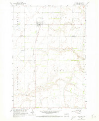
1958 Map of Langford
USGS Topo · Published 1960About this map
Langford serves as the central hub of this late-1950s prairie landscape, situated along the Chicago Milwaukee St Paul and Pacific railroad line. The town's grid is clearly defined, featuring a Sewage Disposal plant on its northwestern edge and easy access to the surrounding agricultural townships of Newport, Hickman, Farmington, and Homer. The terrain is characterized by the meandering path of Antelope Creek, which winds through the central and southern portions of the quadrangle.
Find a feature on this map
13 named features on this map. Tap any name to fly to it.
Don’t see what you’re looking for? This feature index may not catch every label — zoom into the map to look around manually.
Map Details
Editions of this 1958 Langford Map
2 editions found
Other maps of this area

1953 · Milbank
USGS Topo · 1:250,000

1958 · Milbank
USGS Topo · 1:250,000

1958 · Spain
USGS Topo · 1:24,000

1958 · Britton 4 NW
USGS Topo · 1:24,000

1958 · Britton 4 SW
USGS Topo · 1:24,000
1958 · Amherst
USGS Topo · 1:24,000

1958 · Andover
USGS Topo · 1:24,000

1958 · Pierpont
USGS Topo · 1:24,000
1958 · Langford SW
USGS Topo · 1:24,000

1973 · Lynn Lake
USGS Topo · 1:24,000