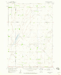
1958 Map of Langford SW
USGS Topo · Published 1960About this map
The tri-county boundary of Brown, Marshall, and Day Counties defines the rural geography of this northeastern South Dakota landscape in the late 1950s. The area is characterized by the expansive glacial lakebed of Claremont and the rolling terrain of Farmington and Newport townships. Local civic and social centers are represented by a centralized Town Hall, while the Augustana Cem serves as a primary genealogical landmark for the region's early settlers. The drainage of Antelope Creek meanders through the eastern sections, providing a stark contrast to the Flowing Wells found to the northwest. This map was produced as part of the Department of the Interior program for the development of the Missouri River Basin, reflecting a period of federal interest in the hydrology and agricultural potential of the Plains.
Find a feature on this map
12 named features on this map. Tap any name to fly to it.
Don’t see what you’re looking for? This feature index may not catch every label — zoom into the map to look around manually.
Map Details
Editions of this 1958 Langford SW Map
2 editions found
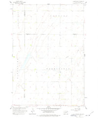
Other maps of this area

1895 · Aberdeen
USGS Topo · 1:125,000

1896 · Columbia
USGS Topo · 1:125,000

1952 · Huffton
USGS Topo · 1:24,000

1953 · Milbank
USGS Topo · 1:250,000

1954 · Groton
USGS Topo · 1:24,000

1954 · Aberdeen
USGS Topo · 1:250,000

1956 · Aberdeen
USGS Topo · 1:250,000
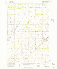
1956 · Claremont
USGS Topo · 1:24,000

1958 · Milbank
USGS Topo · 1:250,000

1958 · Spain
USGS Topo · 1:24,000