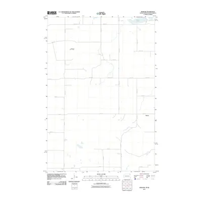
2011 Map of Marlow
USGS Topo · Published 2011About this map
Marlow sits at the edge of this prairie landscape, where the borders of South Dakota and North Dakota meet. The terrain is defined by its water management and agricultural grid, anchored in the north by White Lake and the Tewaukon WS-T-7 Dam. This survey captures the rural infrastructure of the early 21st century, showing the precise network of gravel roads and section lines that organize the townships. In the southeast corner, LaBelle Creek winds through the fields, providing a natural break in the geometric alignment of 440th Ave and 104th St. This area exemplifies the late-modern Great Plains settlement pattern, where small communities like Marlow serve as quiet hubs for the surrounding farmsteads linked by routes such as County Hwy-7.
Find a feature on this map
23 named features on this map. Tap any name to fly to it.
Don’t see what you’re looking for? This feature index may not catch every label — zoom into the map to look around manually.
Map Details
Editions of this 2011 Marlow Map
This is the sole edition of this map. No revisions or reprints were ever made.
Other maps of this area

1907 · Wyndmere
USGS Topo · 1:125,000

1953 · Milbank
USGS Topo · 1:250,000

1953 · Fargo
USGS Topo · 1:250,000

1954 · Kidder SE
USGS Topo · 1:24,000

1956 · Fargo
USGS Topo · 1:250,000

1956 · Havana
USGS Topo · 1:24,000

1958 · Milbank
USGS Topo · 1:250,000

1958 · Hillhead
USGS Topo · 1:24,000

1958 · Veblen
USGS Topo · 1:24,000

1958 · Marlow
USGS Topo · 1:24,000