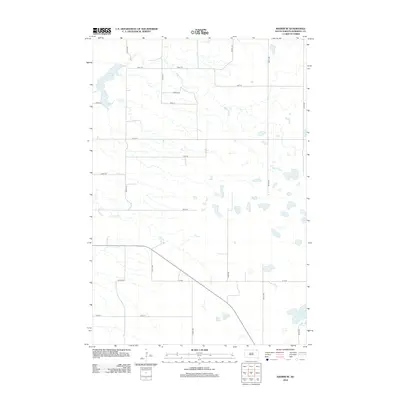
2012 Map of Kidder SE
USGS Topo · Published 2012About this map
White Lake dominates the northwest corner of this prairie landscape in Marshall County, defined by a complex system of drainage and seasonal water bodies. This 2012 survey illustrates the hydrological network of the James River Highlands, where the winding course of Wild Rice Cr and the southern flow of Crow Cr navigate the flat terrain. The map reveals the rigid grid of section-line roads, such as Tory Rd and 105th St, which partition the agricultural landscape. To the southeast, the terrain becomes increasingly wetland-heavy, marked by the distinct basins of Black Slough and the aptly named Stink Slough. This modern USGS production documents the persistent rural character of the region, where the intersection of organized township roads and natural drainage patterns remains the primary geographical feature.
Find a feature on this map
19 named features on this map. Tap any name to fly to it.
Don’t see what you’re looking for? This feature index may not catch every label — zoom into the map to look around manually.
Map Details
Editions of this 2012 Kidder SE Map
This is the sole edition of this map. No revisions or reprints were ever made.
Other maps of this area

1953 · Britton East
USGS Topo · 1:24,000

1953 · Kidder
USGS Topo · 1:24,000

1953 · Milbank
USGS Topo · 1:250,000

1954 · Kidder SE
USGS Topo · 1:24,000

1956 · Havana
USGS Topo · 1:24,000

1958 · Milbank
USGS Topo · 1:250,000

1958 · Britton 4 NW
USGS Topo · 1:24,000

1958 · Hillhead
USGS Topo · 1:24,000

1958 · Marlow
USGS Topo · 1:24,000

1970 · Britton 4 NE
USGS Topo · 1:24,000