Old Maps of McCook County, South Dakota for Academic Research
Study the evolution of McCook County with 87 high-resolution historic maps. Whether you're teaching, researching, or modeling changes in land use, these maps provide essential visual documentation of urban, environmental, and geographic change.
- Analyze long-term change: Track patterns in development, transportation, and natural features.
- Ideal for environmental or urban studies: Support academic projects with primary historical map data.
- Use in the classroom or lab: Educators and researchers rely on these maps to bring historical context to life.
These maps are a powerful tool for teaching, research, and visualizing how McCook County has changed over the decades.
McCook County, SD maps
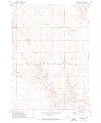
(87)- 1898 Map of Olivet
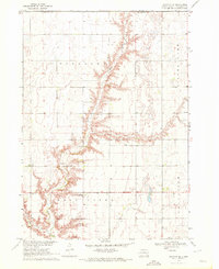
 1898 Olivet1898 Print · USGSHutchinson County at the close of the nineteenth century was a landscape of emerging rail towns and river valley farmsteads. Trace the early expansion of the Chicago Milwaukee and St Paul RR near Olivet and Scotland.4 unique versions available
 - 1898 Map of Parker
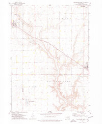
 1898 Parker1898 Print · USGSSoutheastern South Dakota in the late nineteenth century shows a landscape defined by the expansion of the Chicago and Northwestern railroad. Genealogists and local historians can trace early settlements and pioneer-era post offices like Idylwilde, Hurley, and the prominent rise of Turkey Ridge.4 unique versions available
 - 1899 Map of Alexandria
 1899 Alexandria1899 Print · USGSHanson County and the James River valley are captured here at the peak of the late-nineteenth-century rail boom. Genealogists can trace family footprints in early settlements like Rockport, Epiphany, and Alexandria or follow the path of the James River.5 unique versions available
 - 1955 Map of Sioux Falls, 1967 Print
 1955 Sioux Falls1967 Print · USGSThe eastern South Dakota and western Minnesota borderlands come alive in the mid-fifties, showing the vital rail-to-river connections of the era. Genealogists can trace family footprints across townships like Madison and Pipestone, while following the paths of the Big Sioux River and the Chicago and North Western line.3 unique versions available
 - 1958 Map of Sioux Falls
 1958 Sioux Falls1958 Print · USGSThe tri-state borderlands of South Dakota, Minnesota, and Iowa are captured here during the mid-century peak of the regional rail network. Genealogists and historians can trace local landmarks like Augustana Academy, the St Marys Cem, and the path of the Illinois Central through Rock Rapids.
 - 1964 Map of Montrose, 1966 Print
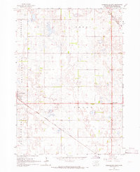
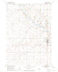
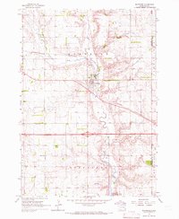 1964 Montrose1966 Print · USGSThe McCook County prairie centered on Montrose is captured here during the mid-1960s, showing a well-established network of farms and rail lines. Genealogists and local historians can locate St Patricks Cem, School No 39, and the winding East Fork Vermillion River.
 - 1964 Map of Canistota, 1966 Print
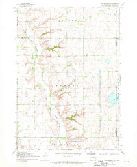
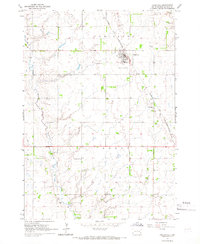 1964 Canistota1966 Print · USGSMcCook County agriculture and the rail-side growth of Canistota are captured here in the mid-sixties. Researchers can trace rural school districts and family burial sites like Rose Hill Cem, Riverside Ch, and the Ortman Landing Strip.
 - 1964 Map of Salem NE, 1966 Print
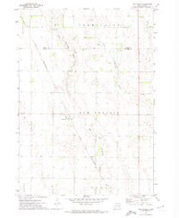
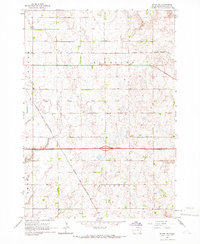 1964 Salem NE1966 Print · USGSMcCook County agriculture and rail travel are captured here in the mid-1960s. Researchers can trace the path of the CHICAGO AND NORTH WESTERN railroad or locate old rural school sites like School No 4 and School No 10.
 - 1964 Map of Salem, 1966 Print
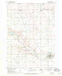
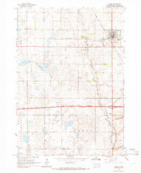 1964 Salem1966 Print · USGSMcCook County is captured in the mid-1960s, centered on the railroad hub of Salem. Local historians can trace early school sites like Herting Sch and family heritage at St Marys Cem or Wildwood Cem.
 - 1964 Map of Bridgewater East, 1966 Print
 1964 Bridgewater East1966 Print · USGSMcCook County is shown at the height of its mid-century rural development, anchored by the town of Bridgewater. Genealogists and historians can trace the locations of St Stephens Cem, early schoolhouses, and the diagonal Chicago Milwaukee St Paul and Pacific rail line.
 - 1964 Map of East Vermillion Lake, 1966 Print
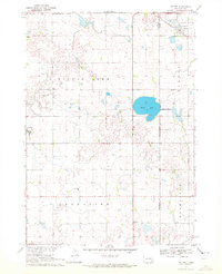
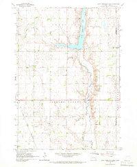 1964 East Vermillion Lake1966 Print · USGSMcCook County agriculture and water management are front and center in the mid-1960s as East Vermillion Lake fills the valley. Researchers can locate many rural landmarks including Spring Valley Cem and several numbered schoolhouses.
 - 1968 Map of Lake Madison SW, 1970 Print
 1968 Lake Madison SW1970 Print · USGSEastern McCook County and neighboring Lake County are shown in the late sixties as a landscape of river bends and rural townships. Researchers can find St Peters Ch, Ramsey Cem, and the old Townhall along the East Fork Vermillion River.
 - 1968 Map of Parker, 1971 Print
 1968 Parker1971 Print · USGSParker and Monroe are captured in the late sixties at the convergence of two major rail lines and the forks of the Vermillion River. Researchers can locate the Thunder Valley Drag Strip, the Parker Valley Country Club, and several local cemeteries like Rose Hill Cem.
 - 1970 Map of Clayton NE, 1972 Print
 1970 Clayton NE1972 Print · USGSHutchinson County agriculture and community life are well-documented in the early seventies, featuring the rolling prairie around Wolf Creek. Genealogists can trace local roots through landmarks like Stern Cem, New Hutterthal Ch, and the shores of Silver Lake.
 - 1970 Map of Marion, 1972 Print
 1970 Marion1972 Print · USGSThe prairie landscape of southeastern South Dakota is captured here in the early seventies, centered on the rail hub of Marion. Genealogists and local historians can locate numerous rural landmarks like Dicks Sch, Bethesda Ch, and Tieszen Cem.
 - 1970 Map of Dolton, 1972 Print
 1970 Dolton1972 Print · USGSSoutheast South Dakota's prairie landscape is documented here in the early seventies at the intersection of three counties. Genealogists and local historians can locate specific family landmarks such as Tschetter Cem and Hutterthal Ch near the waters of Silver Lake.
 - 1971 Map of Unityville, 1974 Print
 1971 Unityville1974 Print · USGSThe rural prairie of McCook and Miner counties comes into focus in the early 1970s, showcasing a landscape of river forks and rail lines. Genealogists and historians can trace local landmarks like Unityville, the Sun Prairie Ch, and the Olsen Cem.
 - 1971 Map of Winfred SE, 1974 Print
 1971 Winfred SE1974 Print · USGSThe prairie townships of McCook and Lake County are captured here in the early seventies, showing a landscape defined by water management and rural governance. Genealogists and researchers can locate the Center settlement and Townhall, or trace the winding paths of the Little Vermillion River and the Fk Vermillion R.
 - 1973 Map of Bridgewater West, 1978 Print
 1973 Bridgewater West1978 Print · USGSThis South Dakota prairie landscape in the 1970s reveals the intersection of the railroad and rural life along the Hanson and McCook County line. Researchers can locate family sites like Rasmussen Cem or trace the path of the Chicago Milwaukee St Paul and Pacific railroad.
 - 1973 Map of Canova SE, 1978 Print
 1973 Canova SE1978 Print · USGSEastern South Dakota in the 1970s shows a landscape of highly structured prairie farming and conservation efforts. Genealogists and local historians can locate early landmarks like Edgerton, Immanuel Ch, and Pleasant Hill Cem.
 - 1973 Map of Spencer, 1978 Print
 1973 Spencer1978 Print · USGSSpencer and the surrounding prairie townships are captured here in the early 1970s, showcasing a landscape of rail-fed commerce and extensive waterfowl conservation. Researchers can locate family landmarks like Lakeside Cem, the local QUARRY, and the Chicago and North Western rail corridor.
 - 1985 Map of Salem
 1985 Salem1985 Print · USGSEastern South Dakota’s prairie landscape is showcased in the mid-eighties, highlighting a region defined by agricultural colonies and rail-linked towns. Genealogists and historians can trace the foundations of Rosedale Colony, the Buffalo Trading Post, and early hubs like Salem.
 - 1985 Map of Freeman
 1985 Freeman1985 Print · USGSThe James River valley in the mid-1980s reveals a landscape of communal farming colonies and railroad-anchored prairie towns. Researchers can trace the layout of several Hutterite settlements like Maxwell Colony or locate local landmarks like Gagna Station and Turkey Ridge.2 unique versions available
 - 2012 Map of Unityville, 2012 Print
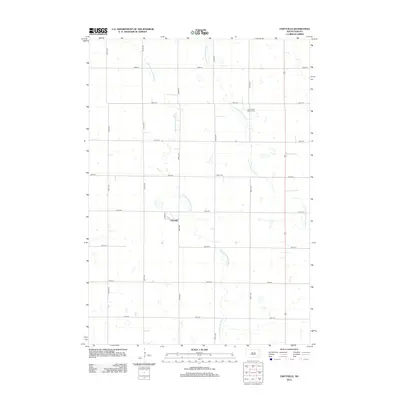 2012 Unityville2012 Print · USGSCovers McCook County, including Sun Prairie Township, Vermillion Township, and other nearby areas
 - 2012 Map of Lake Madison SW, 2012 Print
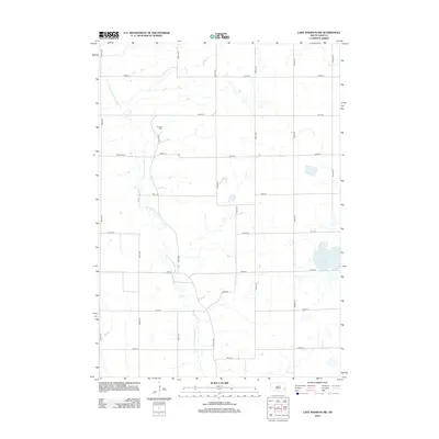 2012 Lake Madison SW2012 Print · USGSCovers McCook County, including Richland Township, Montrose Township, and other nearby areas
Showing maps 1-25 of 87
Frequently asked questions
- What are the different types of historical maps available for McCook County?
- What is the oldest map of McCook County?
- Where can I purchase historical maps of McCook County for my home or office?
- Where can I download high-res historical maps of McCook County?
- Are there historical topographic maps available for McCook County?
- Is there historical aerial imagery available for McCook County?
- Where are historical maps of McCook County sourced from?