Old Maps of Leola, South Dakota for Hiking & Exploration
Hike through history with 9 historic maps of Leola. Explore old trails, ghost towns, and forgotten backroads — perfect for outdoor adventurers and local explorers.
- Rediscover forgotten places: Map out old mining camps, roads, and footpaths that no longer exist on modern maps.
- Layer with modern tools: Combine with LiDAR or satellite views to plan hikes through historical terrain.
- Made for exploration: Popular among hikers, overlanders, and local history lovers.
Use these maps to find adventure and explore the hidden past of Leola.
Leola, SD maps
(9)- 1899 Map of Ellendale
 1899 Ellendale1899 Print · USGSNorth Dakota and South Dakota borderlands come into focus at the close of the nineteenth century as the railroad transforms the prairie. Genealogists and historians can trace the early growth of Ellendale and Leola along with vanished stops like Alpha and Delhi.2 unique versions available
 - 1954 Map of Aberdeen, 1964 Print
 1954 Aberdeen1964 Print · USGSNortheastern South Dakota in the mid-fifties remains a world of rail-dependent prairie towns and sweeping waterfowl refuges. Genealogists can trace family roots through settlements like Eureka and Ipswich or locate rural landmarks near Richmond Lake.2 unique versions available
 - 1956 Map of Aberdeen
 1956 Aberdeen1956 Print · USGSUpper South Dakota during the mid-fifties remains a landscape of rail-connected farming towns and expansive glacial lake basins. Genealogists and historians can trace the paths of the Minneapolis and St Louis railroad through Gettysburg or locate vanished stops near Elm Lake and Richmond Lake.
 - 1970 Map of Leola, 1973 Print
 1970 Leola1973 Print · USGSMcPherson County agricultural life and the township structure of the early seventies are captured here in detail. Genealogists and local historians can trace the Old Railroad Grade and locate Our Lady of Perpetual Help Cem near the town of Leola.
 - 1985 Map of Elm River
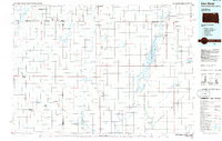 1985 Elm River1985 Print · USGSSpanning the state line during the mid-eighties, this area shows a landscape of river-fed reservoirs and agricultural colonies. Genealogists and historians can locate communal settlements like Spring Creek Colony and rail stops along the Burlington Northern Railroad or the Chicago and North Western Railroad.2 unique versions available
 - 2012 Map of Leola, 2012 Print
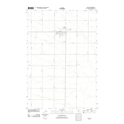 2012 Leola2012 Print · USGSLeola and the surrounding McPherson County plains are captured here in the early twenty-first century, showing the organized grid of a classic prairie town. Family historians can locate specific sites like Our Lady of Perpetual Help Cemetery and Green Mound Cemetery along the winding path of Foot Creek.
 - 2015 Map of Leola, 2015 Print
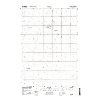 2015 Leola2015 Print · USGSMcPherson County at the start of the twenty-first century reveals a resilient prairie community centered on the town of Leola. Researchers can trace local family history and land divisions through landmarks like Green Mound Cem and the waters of Foot Cr.
 - 2017 Map of Leola, 2017 Print
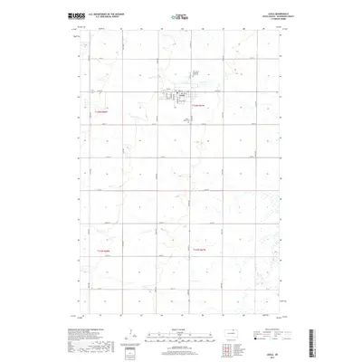 2017 Leola2017 Print · USGSMcPherson County farmland and the town of Leola are documented here in the late twenty-teens. Genealogists can locate family sites near Our Lady of Perpetual Help Cem or follow the path of Foot Cr through the prairie.
 - 2021 Map of Leola, 2021 Print
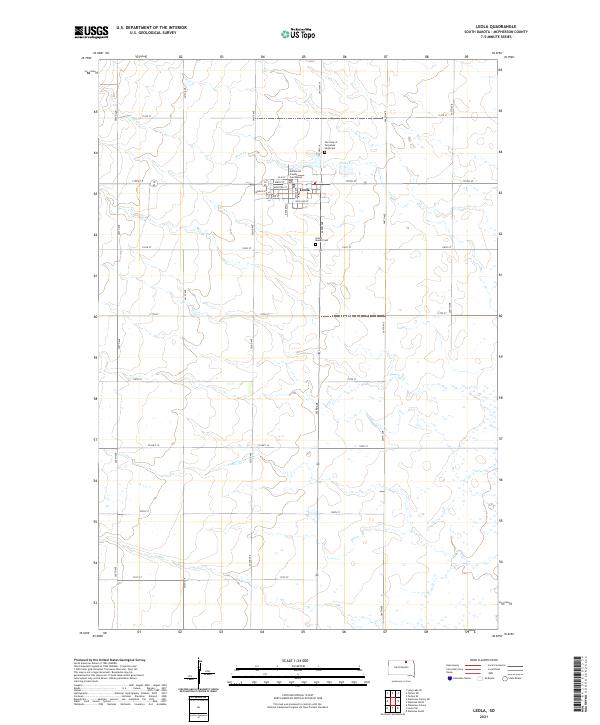 2021 Leola2021 Print · USGSThe town of Leola and the surrounding McPherson County prairie are detailed in this recent survey. Researchers can locate the McPherson County Courthouse and trace local family history at Green Mound Cem and Our Lady of Perpetual Help Cem.
End of results
Showing maps 1-9 of 9
Top cities near Leola
Frequently asked questions
- What are the different types of historical maps available for Leola?
- What is the oldest map of Leola?
- Where can I purchase historical maps of Leola for my home or office?
- Where can I download high-res historical maps of Leola?
- Are there historical topographic maps available for Leola?
- Is there historical aerial imagery available for Leola?
- Where are historical maps of Leola sourced from?