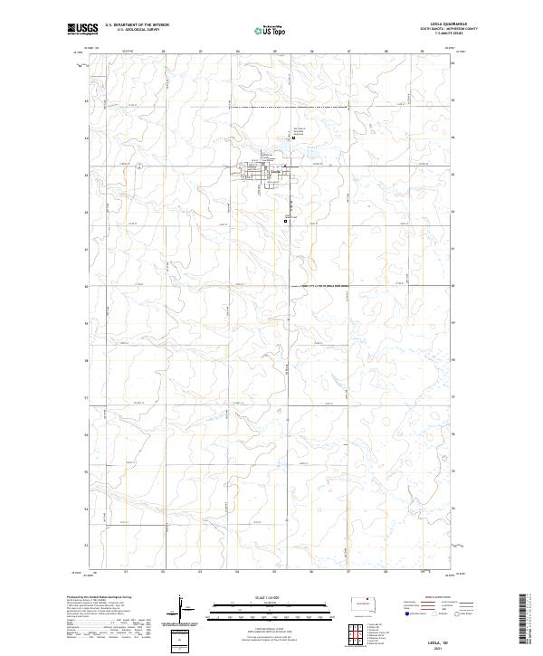
2021 Map of Leola
USGS Topo · Published 2021About this map
Leola serves as the focal point of this McPherson County survey, anchored by the McPherson County Courthouse at the intersection of Main St and Broadway. The town's grid is clearly defined, with streets like Moulton St and Williams St giving way to a vast surrounding landscape of section lines and watercourses. The drainage of Foot Cr meanders through the northern townships, shaping the subtle topography of the prairie.
Find a feature on this map
35 named features on this map. Tap any name to fly to it.
Don’t see what you’re looking for? This feature index may not catch every label — zoom into the map to look around manually.
Map Details
Editions of this 2021 Leola Map
This is the sole edition of this map. No revisions or reprints were ever made.
Other maps of this area

1899 · Ellendale
USGS Topo · 1:125,000

1954 · Aberdeen
USGS Topo · 1:250,000

1956 · Aberdeen
USGS Topo · 1:250,000

1968 · Long Lake SE
USGS Topo · 1:24,000

1968 · Forbes SE
USGS Topo · 1:24,000

1968 · Forbes SW
USGS Topo · 1:24,000

1970 · Wetonka South
USGS Topo · 1:24,000

1970 · Leola
USGS Topo · 1:24,000
1970 · Wetonka North
USGS Topo · 1:24,000

1970 · Leola SW
USGS Topo · 1:24,000