Old Maps of Belleview Township, South Dakota for Metal Detecting
Plan your next treasure hunt with 23 historic maps of Belleview Township. Find old homesites, ghost towns, trails, and gathering spots that may be lost to time — perfect for identifying promising metal detecting locations.
- Locate forgotten sites: Uncover places like long-lost settlements, abandoned rail lines, or gathering spots.
- Plan better hunts: Use map overlays combined with LiDAR or satellite views to narrow in on historically rich areas.
- Made for detectorists: Thousands of hobbyists use these maps to discover relics, coins, and hidden history.
Use these historic maps to boost your research and find new opportunities beneath the surface of Belleview Township.
Belleview Township, SD maps
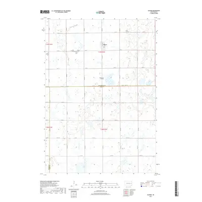
(23)- 1953 Map of Watertown, 1968 Print
 1953 Watertown1968 Print · USGSEastern South Dakota and the Minnesota borderlands are captured here during the mid-twentieth century as the region's agricultural and rail-service centers thrived. Genealogists and local historians can trace family-named sites across the Coteau des Prairies and find landmarks in Watertown, De Smet, and Brookings.3 unique versions available
 - 1958 Map of Watertown
 1958 Watertown1958 Print · USGSThe eastern South Dakota prairie and the Minnesota borderlands are captured here in the late fifties, showcasing a landscape of terminal moraine lakes and burgeoning rail hubs. Genealogists and historians can trace the early paths of the Chicago and North Western railroad or locate family roots in Watertown, Clark, or the Sisseton Indian Reservation.2 unique versions available
 - 1968 Map of Oldham SW, 1970 Print
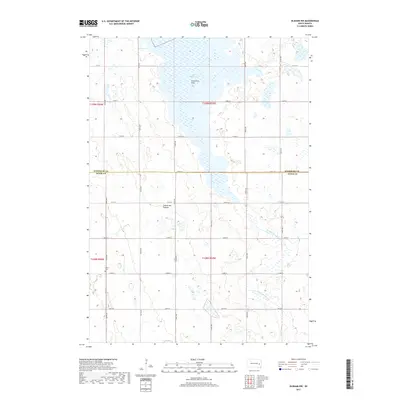
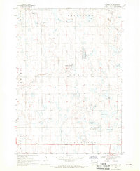 1968 Oldham SW1970 Print · USGSMiner County townships show a landscape of prairie potholes and productive farmland in the late 1960s. Trace local landmarks like the Belleview Ch, the Townhall, and the winding East Fork Vermillion River.
 - 1968 Map of Oldham NW, 1970 Print
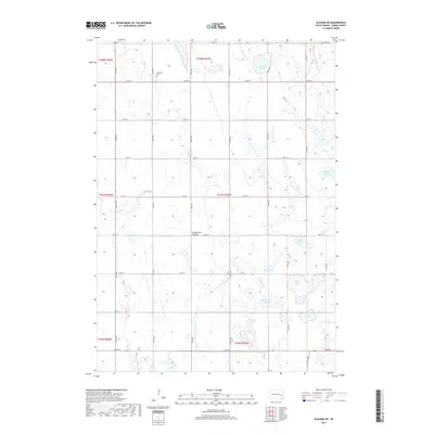
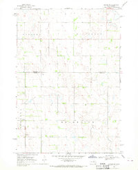 1968 Oldham NW1970 Print · USGSIn the late 1960s, the rural borderlands of Kingsbury and Miner Counties maintained a quiet, agricultural character. Genealogists and local historians can locate the Berton Cem and trace the winding course of the East Fork Vermillion River.
 - 1968 Map of Oldham, 1970 Print
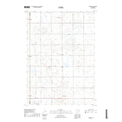
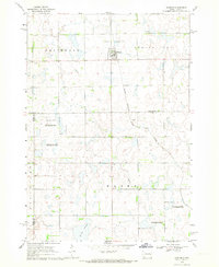 1968 Oldham1970 Print · USGSKingsbury County and the town of Oldham are shown during the late 1960s, capturing a traditional South Dakota prairie community linked by rail. Researchers can trace family sites at St Andreas Cem or Toles Cem and locate landmarks like the Townhall.
 - 1968 Map of Oldham SE, 1970 Print
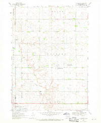 1968 Oldham SE1970 Print · USGSLake County prairie life in the late sixties is centered on the railroad town of Winifred and its surrounding wetlands. Genealogists and local historians can trace family locations near St Johns Ch, the Winfred Cem, and the winding East Fork Vermillion River.
 - 1985 Map of De Smet, 1986 Print
 1985 De Smet1986 Print · USGSEastern South Dakota in the mid-eighties shows a landscape of prairie rail towns and sprawling glacial lakes. Researchers can trace the routes of the Chicago and North Western through De Smet or locate communal sites like Pearl Creek Colony and Cloverleaf Colony.3 unique versions available
 - 2012 Map of Oldham SE, 2012 Print
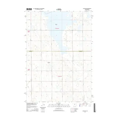
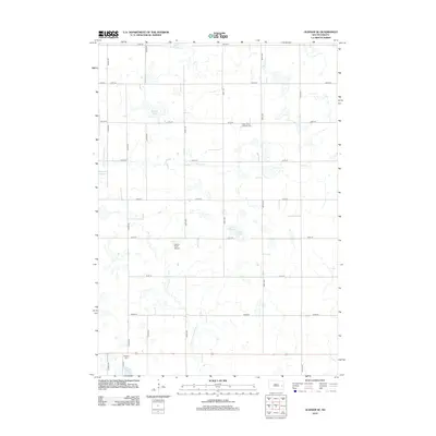 2012 Oldham SE2012 Print · USGSCovers Belleview Township, including Wayne Township, Winfred Township, and other nearby areas
 - 2012 Map of Oldham NW, 2012 Print
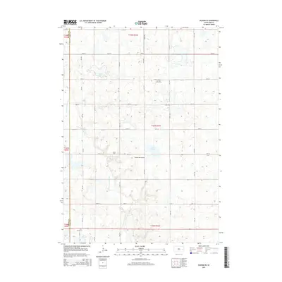
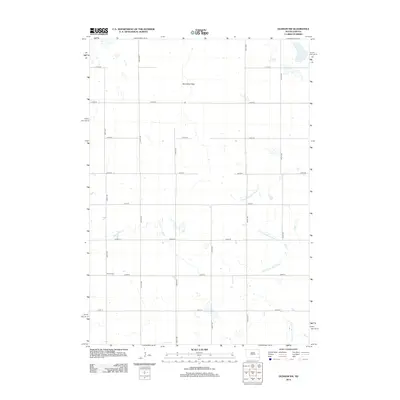 2012 Oldham NW2012 Print · USGSCovers Belleview Township, including Grafton Township, Kingsbury County, and other nearby areas
 - 2012 Map of Oldham, 2012 Print
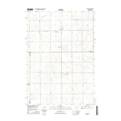
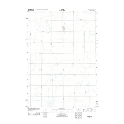 2012 Oldham2012 Print · USGSCovers Belleview Township, including Oldham, Wayne Township, and other nearby areas
 - 2012 Map of Oldham SW, 2012 Print
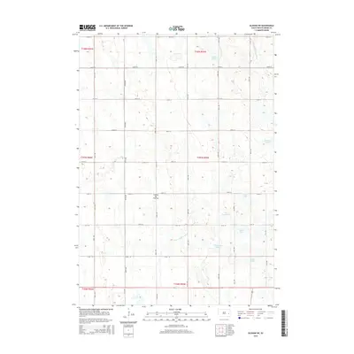
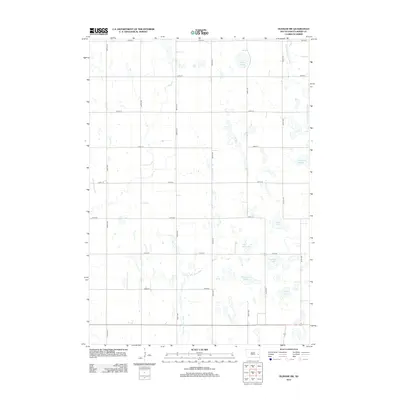 2012 Oldham SW2012 Print · USGSCovers Belleview Township, including Adams Township, Clearwater Township, and other nearby areas
 - 2015 Map of Oldham NW, 2015 Print
 2015 Oldham NW2015 Print · USGSCovers Belleview Township, including Grafton Township, Kingsbury County, and other nearby areas
 - 2015 Map of Oldham SE, 2015 Print
 2015 Oldham SE2015 Print · USGSCovers Belleview Township, including Wayne Township, Winfred Township, and other nearby areas
 - 2015 Map of Oldham, 2015 Print
 2015 Oldham2015 Print · USGSCovers Belleview Township, including Oldham, Wayne Township, and other nearby areas
 - 2015 Map of Oldham SW, 2015 Print
 2015 Oldham SW2015 Print · USGSCovers Belleview Township, including Adams Township, Clearwater Township, and other nearby areas
 - 2017 Map of Oldham NW, 2017 Print
 2017 Oldham NW2017 Print · USGSCovers Belleview Township, including Grafton Township, Kingsbury County, and other nearby areas
 - 2017 Map of Oldham, 2017 Print
 2017 Oldham2017 Print · USGSCovers Belleview Township, including Oldham, Wayne Township, and other nearby areas
 - 2017 Map of Oldham SW, 2017 Print
 2017 Oldham SW2017 Print · USGSCovers Belleview Township, including Adams Township, Clearwater Township, and other nearby areas
 - 2017 Map of Oldham SE, 2017 Print
 2017 Oldham SE2017 Print · USGSCovers Belleview Township, including Wayne Township, Winfred Township, and other nearby areas
 - 2021 Map of Oldham SE, 2021 Print
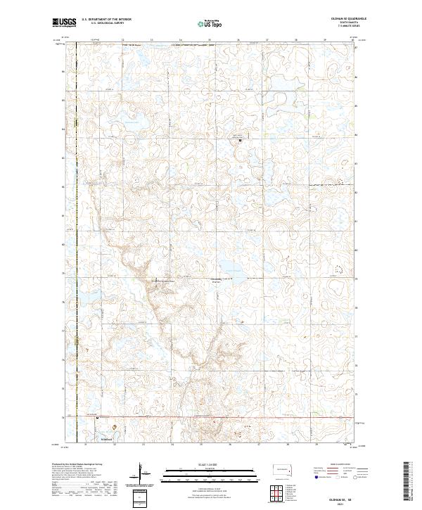 2021 Oldham SE2021 Print · USGSThe rural landscapes of Lake County are captured here in the early twenty-first century, showing the settlement of Winfred and the surrounding glacial terrain. Researchers can trace the drainage of the E Fork Vermillion River and locate local landmarks like Saint John's Lutheran Cem and Lake Winfred.
 - 2021 Map of Oldham, 2021 Print
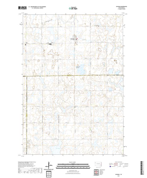 2021 Oldham2021 Print · USGSIn the early 2020s, this area of eastern South Dakota remains a landscape of traditional township grids and scattered rural cemeteries. Genealogists can trace family history at the Saint Catherine's Cem, Oldham Lutheran Cem, and Saint Andreas Cem near the town of Oldham.
 - 2021 Map of Oldham SW, 2021 Print
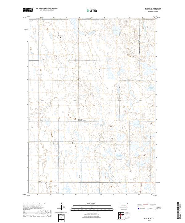 2021 Oldham SW2021 Print · USGSMiner County's glaciated landscape is preserved here in the early twenty-first century, showing the intersection of rural section lines and prairie potholes. Researchers can trace family sites near Belleview Cem or map the shorelines of Silver Lake and Pedley Lake.
 - 2021 Map of Oldham NW, 2021 Print
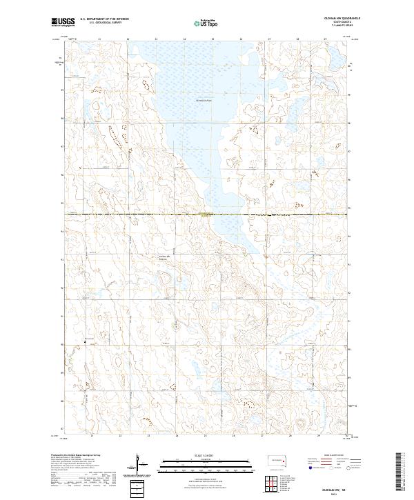 2021 Oldham NW2021 Print · USGSThe high prairie of the Coteau des Prairies meets the marshy headwaters of the E Fork Vermillion River in the early 2020s. Researchers can trace the section-line roads of Miner County to find the Berton Cem and the vast Lake Thompson Vermillion Flats.
End of results
Showing maps 1-23 of 23
Top cities near Belleview Township
- Howard historical maps
- Lake Preston historical maps
- Winfred historical maps
- Ramona historical maps
- Oldham historical maps
- Hetland historical maps
See more
Frequently asked questions
- What are the different types of historical maps available for Belleview Township?
- What is the oldest map of Belleview Township?
- Where can I purchase historical maps of Belleview Township for my home or office?
- Where can I download high-res historical maps of Belleview Township?
- Are there historical topographic maps available for Belleview Township?
- Is there historical aerial imagery available for Belleview Township?
- Where are historical maps of Belleview Township sourced from?