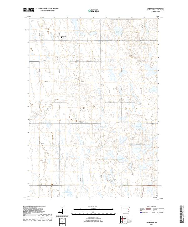
2021 Map of Oldham SW
USGS Topo · Published 2021About this map
Coteau des Prairies, a vast glacial plateau, defines the landscape of this portion of Miner County. The topography is characterized by a high density of semi-permanent wetlands and small glacial lakes, reflecting the region's terminal moraine geology. The Little Vermillion River and E Fork Vermillion River drain these uplands, winding through a grid of section-line roads such as 438th Ave and Co Hwy 8. Human imprint is primarily agricultural and commemorative, centered on the Belleview Cem in the northwestern quadrant. Significant water bodies including Silver Lake, Otter Lake, and Pedley Lake are interspersed with numerous sloughs like McCart Slough and Wombacker Slough, illustrating the complex drainage patterns of the prairie pothole region.
Find a feature on this map
31 named features on this map. Tap any name to fly to it.
Don’t see what you’re looking for? This feature index may not catch every label — zoom into the map to look around manually.
Map Details
Editions of this 2021 Oldham SW Map
This is the sole edition of this map. No revisions or reprints were ever made.
Other maps of this area

1899 · Alexandria
USGS Topo · 1:125,000

1899 · De Smet
USGS Topo · 1:125,000

1953 · Watertown
USGS Topo · 1:250,000

1955 · Sioux Falls
USGS Topo · 1:250,000

1958 · Sioux Falls
USGS Topo · 1:250,000

1958 · Watertown
USGS Topo · 1:250,000

1968 · Oldham SW
USGS Topo · 1:24,000

1968 · Oldham NW
USGS Topo · 1:24,000

1968 · Oldham
USGS Topo · 1:24,000

1968 · Oldham SE
USGS Topo · 1:24,000