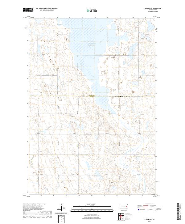
2021 Map of Oldham NW
USGS Topo · Published 2021About this map
The glacial highlands of the Coteau des Prairies define this landscape in eastern South Dakota, where the headwaters of the E Fork Vermillion River begin their southward trek. This survey captures the transition between the expansive marshy waters of Lake Thompson Vermillion Flats in the north and the high prairie plateau that separates the Big Sioux and James River basins. The rugged agricultural grid is well-established, following section lines with a network of numbered avenues and streets that connect isolated farmsteads. For genealogists and local historians, the Berton Cem serves as a significant landmark in the southwestern portion of the quadrangle, marking the site of an early community presence near the border of Kingsbury and Miner counties.
Find a feature on this map
23 named features on this map. Tap any name to fly to it.
Don’t see what you’re looking for? This feature index may not catch every label — zoom into the map to look around manually.
Map Details
Editions of this 2021 Oldham NW Map
This is the sole edition of this map. No revisions or reprints were ever made.
Other maps of this area

1899 · De Smet
USGS Topo · 1:125,000

1953 · Watertown
USGS Topo · 1:250,000

1958 · Watertown
USGS Topo · 1:250,000

1968 · Oldham SW
USGS Topo · 1:24,000

1968 · Lake Preston East
USGS Topo · 1:24,000

1968 · Lake Preston West
USGS Topo · 1:24,000

1968 · Oldham NW
USGS Topo · 1:24,000

1968 · Oldham
USGS Topo · 1:24,000

1968 · Oldham SE
USGS Topo · 1:24,000

1971 · Howard NE
USGS Topo · 1:24,000