Old Maps of Canova Township, South Dakota for Academic Research
Study the evolution of Canova Township with 24 high-resolution historic maps. Whether you're teaching, researching, or modeling changes in land use, these maps provide essential visual documentation of urban, environmental, and geographic change.
- Analyze long-term change: Track patterns in development, transportation, and natural features.
- Ideal for environmental or urban studies: Support academic projects with primary historical map data.
- Use in the classroom or lab: Educators and researchers rely on these maps to bring historical context to life.
These maps are a powerful tool for teaching, research, and visualizing how Canova Township has changed over the decades.
Canova Township, SD maps
(24)- 1899 Map of Alexandria
 1899 Alexandria1899 Print · USGSHanson County and the James River valley are captured here at the peak of the late-nineteenth-century rail boom. Genealogists can trace family footprints in early settlements like Rockport, Epiphany, and Alexandria or follow the path of the James River.5 unique versions available
 - 1955 Map of Sioux Falls, 1967 Print
 1955 Sioux Falls1967 Print · USGSThe eastern South Dakota and western Minnesota borderlands come alive in the mid-fifties, showing the vital rail-to-river connections of the era. Genealogists can trace family footprints across townships like Madison and Pipestone, while following the paths of the Big Sioux River and the Chicago and North Western line.3 unique versions available
 - 1958 Map of Sioux Falls
 1958 Sioux Falls1958 Print · USGSThe tri-state borderlands of South Dakota, Minnesota, and Iowa are captured here during the mid-century peak of the regional rail network. Genealogists and historians can trace local landmarks like Augustana Academy, the St Marys Cem, and the path of the Illinois Central through Rock Rapids.
 - 1971 Map of Canova East, 1974 Print
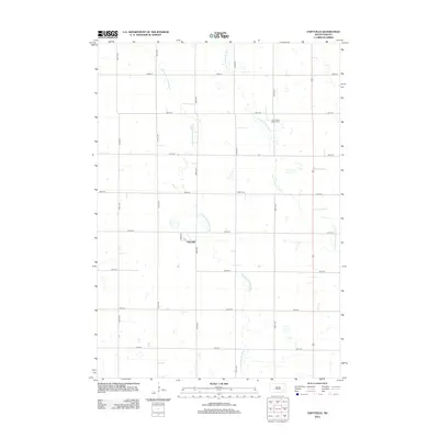
 1971 Canova East1974 Print · USGSMiner County farming and rail life are centered around the prairie town of Canova in the early 1970s. Trace the path of the C M St P & P railroad or locate local landmarks like the Canova Cem and Union Ch along the winding river forks.
 - 1971 Map of Unityville, 1974 Print
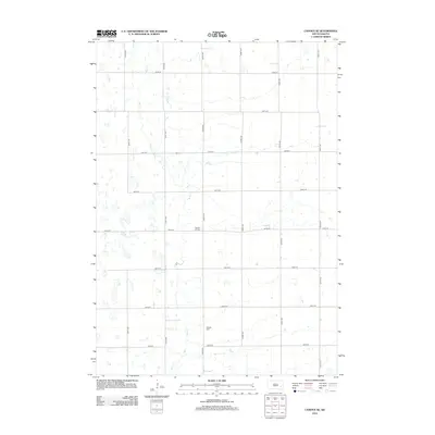
 1971 Unityville1974 Print · USGSThe rural prairie of McCook and Miner counties comes into focus in the early 1970s, showcasing a landscape of river forks and rail lines. Genealogists and historians can trace local landmarks like Unityville, the Sun Prairie Ch, and the Olsen Cem.
 - 1973 Map of Canova SE, 1978 Print
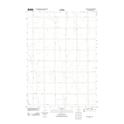
 1973 Canova SE1978 Print · USGSEastern South Dakota in the 1970s shows a landscape of highly structured prairie farming and conservation efforts. Genealogists and local historians can locate early landmarks like Edgerton, Immanuel Ch, and Pleasant Hill Cem.
 - 1973 Map of Canova West, 1978 Print
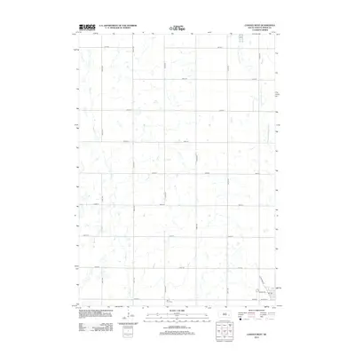
 1973 Canova West1978 Print · USGSMiner County in the 1970s shows a classic prairie landscape defined by the Chicago and North Western railroad. Genealogists and local historians can trace the outskirts of Vilas and Canova, alongside rural landmarks like St Pauls Cem.
 - 1985 Map of Salem
 1985 Salem1985 Print · USGSEastern South Dakota’s prairie landscape is showcased in the mid-eighties, highlighting a region defined by agricultural colonies and rail-linked towns. Genealogists and historians can trace the foundations of Rosedale Colony, the Buffalo Trading Post, and early hubs like Salem.
 - 2012 Map of Unityville, 2012 Print
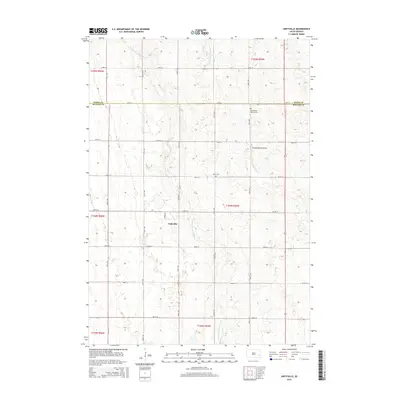
 2012 Unityville2012 Print · USGSCovers Canova Township, including Sun Prairie Township, Vermillion Township, and other nearby areas
 - 2012 Map of Canova SE, 2012 Print
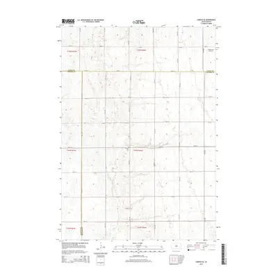
 2012 Canova SE2012 Print · USGSCovers Canova Township, including Edgerton Township, Rock Creek Township, and other nearby areas
 - 2012 Map of Canova East, 2012 Print
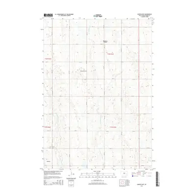
 2012 Canova East2012 Print · USGSCovers Canova Township, including Canova, Vermillion Township, and other nearby areas
 - 2012 Map of Canova West, 2012 Print
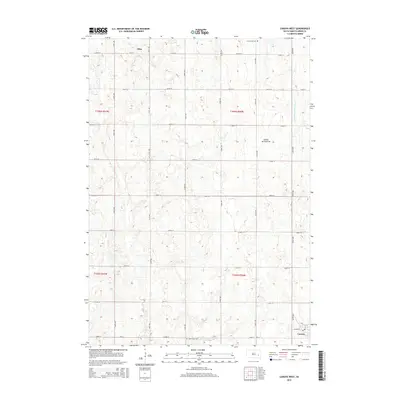
 2012 Canova West2012 Print · USGSCovers Canova Township, including Canova, Vilas, and other nearby areas
 - 2015 Map of Canova East, 2015 Print
 2015 Canova East2015 Print · USGSCovers Canova Township, including Canova, Vermillion Township, and other nearby areas
 - 2015 Map of Canova SE, 2015 Print
 2015 Canova SE2015 Print · USGSCovers Canova Township, including Edgerton Township, Rock Creek Township, and other nearby areas
 - 2015 Map of Canova West, 2015 Print
 2015 Canova West2015 Print · USGSCovers Canova Township, including Canova, Vilas, and other nearby areas
 - 2015 Map of Unityville, 2015 Print
 2015 Unityville2015 Print · USGSCovers Canova Township, including Sun Prairie Township, Vermillion Township, and other nearby areas
 - 2017 Map of Canova East, 2017 Print
 2017 Canova East2017 Print · USGSCovers Canova Township, including Canova, Vermillion Township, and other nearby areas
 - 2017 Map of Canova West, 2017 Print
 2017 Canova West2017 Print · USGSCovers Canova Township, including Canova, Vilas, and other nearby areas
 - 2017 Map of Unityville, 2017 Print
 2017 Unityville2017 Print · USGSCovers Canova Township, including Sun Prairie Township, Vermillion Township, and other nearby areas
 - 2017 Map of Canova SE, 2017 Print
 2017 Canova SE2017 Print · USGSCovers Canova Township, including Edgerton Township, Rock Creek Township, and other nearby areas
 - 2021 Map of Unityville, 2021 Print
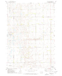
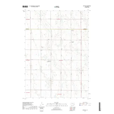
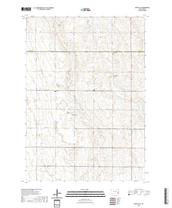 2021 Unityville2021 Print · USGSThe area around Unityville is shown here in the early twenty-first century, spanning the border of McCook and Miner Counties. Genealogists can locate several local burial sites including Sun Prairie Baptist Cem, Olsen Cem, and Unityville Cem.
 - 2021 Map of Canova SE, 2021 Print
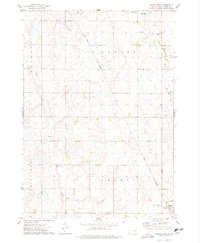
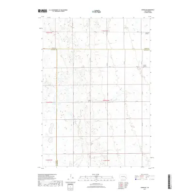
 2021 Canova SE2021 Print · USGSEastern McCook County is surveyed in the early 2020s, showing the high-prairie terrain of the Coteau des Prairies. Researchers can find significant family history sites including the Immanuel Lutheran Church Cem and Pleasant Hill Cem along the rural road grid.
 - 2021 Map of Canova East, 2021 Print
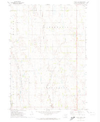
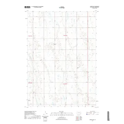
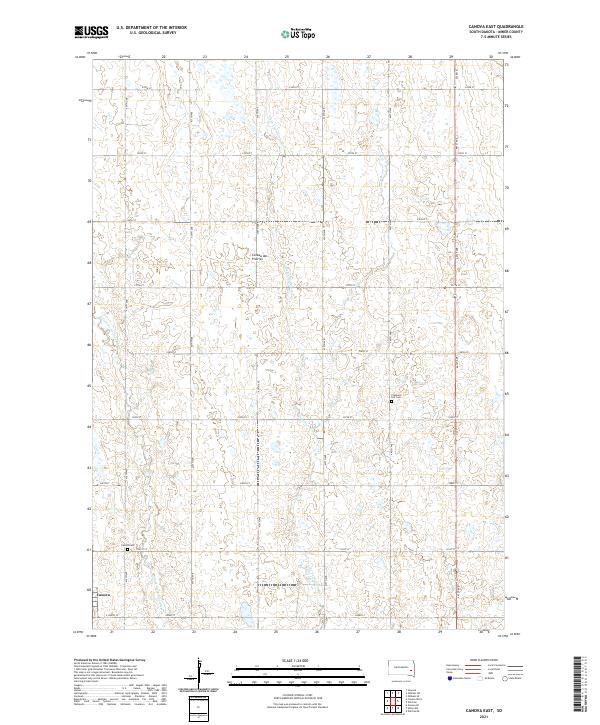 2021 Canova East2021 Print · USGSMiner County farming and the eastern prairie highlands are captured here in the early twenty-first century. Genealogists and local historians can trace the grid of country roads to the Canova townsite or locate the Pleasant Hill Cem and Canova Cem.
 - 2021 Map of Canova West, 2021 Print
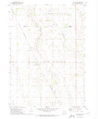
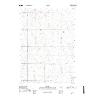
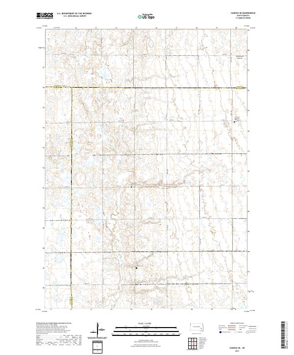
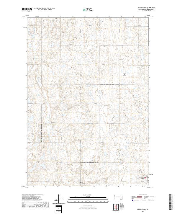 2021 Canova West2021 Print · USGSMiner County agriculture and the high plateau of the Coteau des Prairies are meticulously detailed in this recent survey. Researchers can trace the section-line roads connecting the settlements of Vilas and Canova or locate Saint Paul's Cem amidst the prairie wetlands.
End of results
Showing maps 1-24 of 24
Top cities near Canova Township
- Salem historical maps
- Howard historical maps
- Winfred historical maps
- Spencer historical maps
- Canova historical maps
- Farmer historical maps
See more
Top neighborhoods of Canova Township
Frequently asked questions
- What are the different types of historical maps available for Canova Township?
- What is the oldest map of Canova Township?
- Where can I purchase historical maps of Canova Township for my home or office?
- Where can I download high-res historical maps of Canova Township?
- Are there historical topographic maps available for Canova Township?
- Is there historical aerial imagery available for Canova Township?
- Where are historical maps of Canova Township sourced from?