Old Maps of Canova, South Dakota for Genealogy
Trace your family roots with 14 historic maps of Canova. These high-res maps reveal old neighborhoods, homesites, landmarks, and streets — helping you uncover where your ancestors lived and how the area evolved over time.
- Explore historic neighborhoods: Identify where your relatives may have lived in the 1800s or 1900s.
- Compare maps over time: Trace the changes in streets, buildings, and landmarks for multi-generational research.
- Perfect for genealogy & ancestry research: Used by family historians and researchers to map out lineage and migration.
These maps are an incredible resource for exploring your personal connection to Canova's past.
Canova, SD maps
(14)- 1899 Map of Alexandria
 1899 Alexandria1899 Print · USGSHanson County and the James River valley are captured here at the peak of the late-nineteenth-century rail boom. Genealogists can trace family footprints in early settlements like Rockport, Epiphany, and Alexandria or follow the path of the James River.5 unique versions available
 - 1955 Map of Sioux Falls, 1967 Print
 1955 Sioux Falls1967 Print · USGSThe eastern South Dakota and western Minnesota borderlands come alive in the mid-fifties, showing the vital rail-to-river connections of the era. Genealogists can trace family footprints across townships like Madison and Pipestone, while following the paths of the Big Sioux River and the Chicago and North Western line.3 unique versions available
 - 1958 Map of Sioux Falls
 1958 Sioux Falls1958 Print · USGSThe tri-state borderlands of South Dakota, Minnesota, and Iowa are captured here during the mid-century peak of the regional rail network. Genealogists and historians can trace local landmarks like Augustana Academy, the St Marys Cem, and the path of the Illinois Central through Rock Rapids.
 - 1971 Map of Canova East, 1974 Print
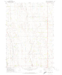 1971 Canova East1974 Print · USGSMiner County farming and rail life are centered around the prairie town of Canova in the early 1970s. Trace the path of the C M St P & P railroad or locate local landmarks like the Canova Cem and Union Ch along the winding river forks.
 - 1973 Map of Canova West, 1978 Print
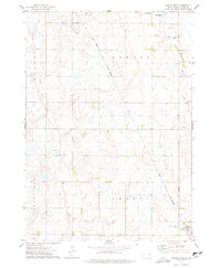 1973 Canova West1978 Print · USGSMiner County in the 1970s shows a classic prairie landscape defined by the Chicago and North Western railroad. Genealogists and local historians can trace the outskirts of Vilas and Canova, alongside rural landmarks like St Pauls Cem.
 - 1985 Map of Salem
 1985 Salem1985 Print · USGSEastern South Dakota’s prairie landscape is showcased in the mid-eighties, highlighting a region defined by agricultural colonies and rail-linked towns. Genealogists and historians can trace the foundations of Rosedale Colony, the Buffalo Trading Post, and early hubs like Salem.
 - 2012 Map of Canova East, 2012 Print
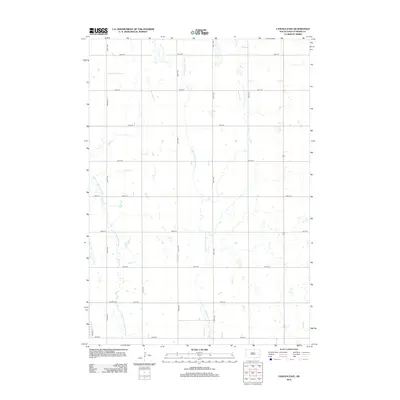 2012 Canova East2012 Print · USGSMiner County's prairie landscape is captured here in the early twenty-first century, showing the enduring grid of agricultural life. Genealogists and local historians can locate the Canova Cem and trace the winding courses of the Little Vermillion River and W Fork Vermillion River.
 - 2012 Map of Canova West, 2012 Print
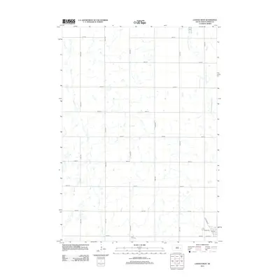 2012 Canova West2012 Print · USGSMiner County's rural township structure is clearly preserved in this early twenty-first-century survey of the South Dakota prairie. Genealogists and local historians can trace family roots at Saint Pauls Cem or explore the road network near W Main St and the local PO.
 - 2015 Map of Canova East, 2015 Print
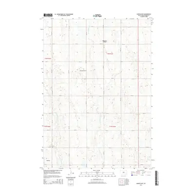 2015 Canova East2015 Print · USGSMiner County farmland and prairie settlements are captured here in the mid-2010s, showing the intersection of rural life and the unique geology of the Coteau des Prairies. Researchers can trace local landmarks from the Canova Cemetery to the communal grounds of Shannon Colony.
 - 2015 Map of Canova West, 2015 Print
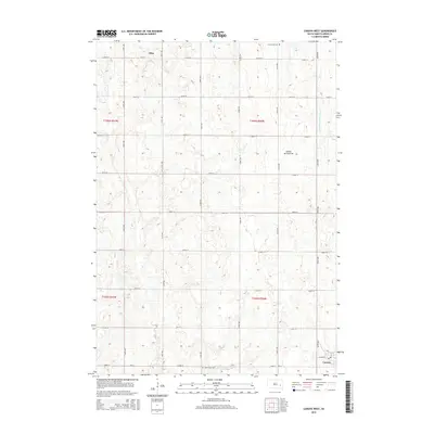 2015 Canova West2015 Print · USGSMiner County's agricultural grid and prairie drainage systems are clearly defined in this mid-2010s survey. Researchers can trace family history at Saint Pauls Cem and Graceland Cem or follow the waters of the W Fork Vermillion River.
 - 2017 Map of Canova East, 2017 Print
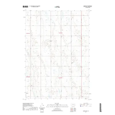 2017 Canova East2017 Print · USGSThe eastern surroundings of Canova are defined by the glacial uplands of the Coteau des Prairies during the early twenty-first century. Genealogists and local historians can trace the paths of the W Fork Vermillion River or locate historic sites like Pleasant Hill Cem and Canova Cem.
 - 2017 Map of Canova West, 2017 Print
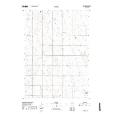 2017 Canova West2017 Print · USGSMiner County's rural townships and glacial wetlands are captured in the late twenty-tens, showing the enduring grid of the eastern South Dakota plains. Researchers can locate Saint Paul's Cem and the settlement layouts of Canova and Vilas.
 - 2021 Map of Canova East, 2021 Print
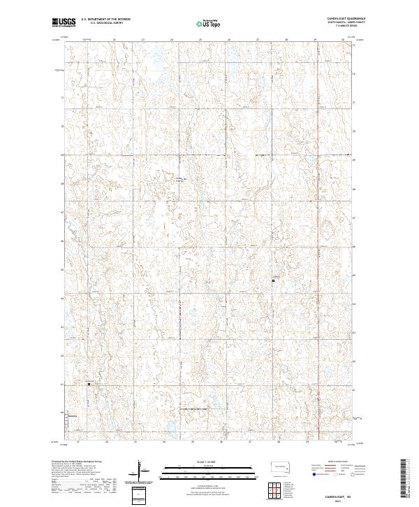 2021 Canova East2021 Print · USGSMiner County farming and the eastern prairie highlands are captured here in the early twenty-first century. Genealogists and local historians can trace the grid of country roads to the Canova townsite or locate the Pleasant Hill Cem and Canova Cem.
 - 2021 Map of Canova West, 2021 Print
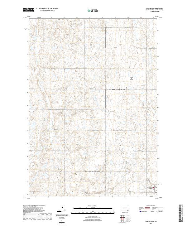 2021 Canova West2021 Print · USGSMiner County agriculture and the high plateau of the Coteau des Prairies are meticulously detailed in this recent survey. Researchers can trace the section-line roads connecting the settlements of Vilas and Canova or locate Saint Paul's Cem amidst the prairie wetlands.
End of results
Showing maps 1-14 of 14
Top cities near Canova
- Salem historical maps
- Howard historical maps
- Winfred historical maps
- Spencer historical maps
- Farmer historical maps
- Roswell historical maps
See more
Frequently asked questions
- What are the different types of historical maps available for Canova?
- What is the oldest map of Canova?
- Where can I purchase historical maps of Canova for my home or office?
- Where can I download high-res historical maps of Canova?
- Are there historical topographic maps available for Canova?
- Is there historical aerial imagery available for Canova?
- Where are historical maps of Canova sourced from?