Old Maps of Miner County, South Dakota for Hiking & Exploration
Hike through history with 109 historic maps of Miner County. Explore old trails, ghost towns, and forgotten backroads — perfect for outdoor adventurers and local explorers.
- Rediscover forgotten places: Map out old mining camps, roads, and footpaths that no longer exist on modern maps.
- Layer with modern tools: Combine with LiDAR or satellite views to plan hikes through historical terrain.
- Made for exploration: Popular among hikers, overlanders, and local history lovers.
Use these maps to find adventure and explore the hidden past of Miner County.
Miner County, SD maps
(109)- 1899 Map of Alexandria
 1899 Alexandria1899 Print · USGSHanson County and the James River valley are captured here at the peak of the late-nineteenth-century rail boom. Genealogists can trace family footprints in early settlements like Rockport, Epiphany, and Alexandria or follow the path of the James River.5 unique versions available
 - 1899 Map of De Smet
 1899 De Smet1899 Print · USGSEastern South Dakota in the 1890s appears as a landscape of rapid rail expansion and nascent prairie towns. You can trace early settlement patterns and transport hubs like De Smet, Carthage, and Iroquois along the Chicago and Northwestern R. R.2 unique versions available
 - 1953 Map of Watertown, 1968 Print
 1953 Watertown1968 Print · USGSEastern South Dakota and the Minnesota borderlands are captured here during the mid-twentieth century as the region's agricultural and rail-service centers thrived. Genealogists and local historians can trace family-named sites across the Coteau des Prairies and find landmarks in Watertown, De Smet, and Brookings.3 unique versions available
 - 1955 Map of Sioux Falls, 1967 Print
 1955 Sioux Falls1967 Print · USGSThe eastern South Dakota and western Minnesota borderlands come alive in the mid-fifties, showing the vital rail-to-river connections of the era. Genealogists can trace family footprints across townships like Madison and Pipestone, while following the paths of the Big Sioux River and the Chicago and North Western line.3 unique versions available
 - 1958 Map of Sioux Falls
 1958 Sioux Falls1958 Print · USGSThe tri-state borderlands of South Dakota, Minnesota, and Iowa are captured here during the mid-century peak of the regional rail network. Genealogists and historians can trace local landmarks like Augustana Academy, the St Marys Cem, and the path of the Illinois Central through Rock Rapids.
 - 1958 Map of Watertown
 1958 Watertown1958 Print · USGSThe eastern South Dakota prairie and the Minnesota borderlands are captured here in the late fifties, showcasing a landscape of terminal moraine lakes and burgeoning rail hubs. Genealogists and historians can trace the early paths of the Chicago and North Western railroad or locate family roots in Watertown, Clark, or the Sisseton Indian Reservation.2 unique versions available
 - 1968 Map of Oldham SW, 1970 Print
 1968 Oldham SW1970 Print · USGSMiner County townships show a landscape of prairie potholes and productive farmland in the late 1960s. Trace local landmarks like the Belleview Ch, the Townhall, and the winding East Fork Vermillion River.
 - 1968 Map of Oldham NW, 1970 Print
 1968 Oldham NW1970 Print · USGSIn the late 1960s, the rural borderlands of Kingsbury and Miner Counties maintained a quiet, agricultural character. Genealogists and local historians can locate the Berton Cem and trace the winding course of the East Fork Vermillion River.
 - 1968 Map of Oldham, 1970 Print
 1968 Oldham1970 Print · USGSKingsbury County and the town of Oldham are shown during the late 1960s, capturing a traditional South Dakota prairie community linked by rail. Researchers can trace family sites at St Andreas Cem or Toles Cem and locate landmarks like the Townhall.
 - 1968 Map of Oldham SE, 1970 Print
 1968 Oldham SE1970 Print · USGSLake County prairie life in the late sixties is centered on the railroad town of Winifred and its surrounding wetlands. Genealogists and local historians can trace family locations near St Johns Ch, the Winfred Cem, and the winding East Fork Vermillion River.
 - 1971 Map of Howard NE, 1973 Print
 1971 Howard NE1973 Print · USGSMiner County farming and communal life are documented here in the early 1970s. Researchers can trace the Cloverleaf Colony, explore the West Fork Vermillion River valley, and locate Gravel Pits across the prairie.
 - 1971 Map of Fedora, 1973 Print
 1971 Fedora1973 Print · USGSMiner County's rural townships are captured here in the early 1970s as the rail-driven economy still shaped the plains. Researchers can locate family sites near Glen View Ch, Morgans Cem, or the Milwaukee Road corridor.
 - 1971 Map of Artesian NE, 1973 Print
 1971 Artesian NE1973 Print · USGSFour counties converge in this South Dakota agricultural landscape during the early seventies, centered on the drainage of the Redstone forks. Genealogists and local historians can locate the old Townhall and trace the route of the Chicago and North Western railroad through Afton and Esmond.
 - 1971 Map of Howard, 1973 Print
 1971 Howard1973 Print · USGSMiner County, South Dakota, is captured here in the early seventies, showcasing a landscape of prairie townships and rail-connected towns. Genealogists and historians can locate St. Johns Cemetery, trace the Chicago and North Western tracks through Vilas, or explore the streets of Howard.
 - 1971 Map of Carthage, 1973 Print
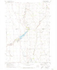 1971 Carthage1973 Print · USGSCarthage and its surrounding prairie townships are captured here in the early seventies during a period of agricultural stability. Researchers can locate family plots at Sacred Heart Cem or trace the Chicago and North Western rail route past Lake Carthage.
 - 1971 Map of Winfred, 1974 Print
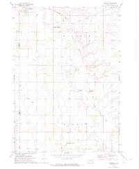 1971 Winfred1974 Print · USGSLake County and the surrounding prairies are captured in the early seventies, centered on the rail-side settlement of Winfred. Researchers can trace the path of the East Fork Vermillion River past Graceville Colony and the local Township Cem.
 - 1971 Map of Canova East, 1974 Print
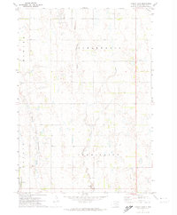 1971 Canova East1974 Print · USGSMiner County farming and rail life are centered around the prairie town of Canova in the early 1970s. Trace the path of the C M St P & P railroad or locate local landmarks like the Canova Cem and Union Ch along the winding river forks.
 - 1971 Map of Unityville, 1974 Print
 1971 Unityville1974 Print · USGSThe rural prairie of McCook and Miner counties comes into focus in the early 1970s, showcasing a landscape of river forks and rail lines. Genealogists and historians can trace local landmarks like Unityville, the Sun Prairie Ch, and the Olsen Cem.
 - 1971 Map of Winfred SE, 1974 Print
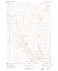 1971 Winfred SE1974 Print · USGSThe prairie townships of McCook and Lake County are captured here in the early seventies, showing a landscape defined by water management and rural governance. Genealogists and researchers can locate the Center settlement and Townhall, or trace the winding paths of the Little Vermillion River and the Fk Vermillion R.
 - 1972 Map of Roswell, 1973 Print
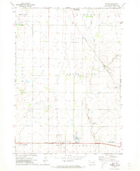 1972 Roswell1973 Print · USGSMiner County is captured in the early 1970s, showcasing a landscape defined by the intersection of rail and prairie. Researchers can trace the paths of the Chicago and North Western and Chicago Milwaukee St Paul and Pacific railroads near Roswell and Argonne.
 - 1973 Map of Morris Lake, 1978 Print
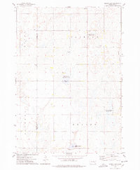 1973 Morris Lake1978 Print · USGSThe border of Sanborn and Miner Counties was a landscape of conservation and prairie agriculture in the 1970s. Researchers can locate landmarks like Beulah Ch and Farwell Cem, or trace the wetlands of O'Neal Lake and the Morris Lake shooting area.
 - 1973 Map of Ness Chain Lakes, 1978 Print
 1973 Ness Chain Lakes1978 Print · USGSThe tri-county borderlands of Sanborn, Miner, and Hanson counties are documented in the 1970s, showcasing a landscape of prairie potholes and wetlands. Researchers can trace the rural layout of Fairview and find local landmarks like Redstone Cem and Lake Leo.
 - 1973 Map of Canova SE, 1978 Print
 1973 Canova SE1978 Print · USGSEastern South Dakota in the 1970s shows a landscape of highly structured prairie farming and conservation efforts. Genealogists and local historians can locate early landmarks like Edgerton, Immanuel Ch, and Pleasant Hill Cem.
 - 1973 Map of Bitter Lake, 1978 Print
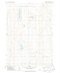 1973 Bitter Lake1978 Print · USGSThe prairie wetlands of Miner County are frozen in time here during the early 1970s. Trace the rural landscape through family landmarks like Roswell Cem and the remote Townhall, or explore the protected waters of Bitter Lake and Twin Lakes.
 - 1973 Map of Epiphany, 1978 Print
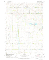 1973 Epiphany1978 Print · USGSThe border of Miner and Hanson Counties comes into focus in the 1970s, revealing a landscape of prairie wetlands and rural townships. Genealogists and outdoorsmen can trace land around Epiphany or explore the boundaries of the Long Lake State Public Shooting Area and Spring Lake.
Showing maps 1-25 of 109
Frequently asked questions
- What are the different types of historical maps available for Miner County?
- What is the oldest map of Miner County?
- Where can I purchase historical maps of Miner County for my home or office?
- Where can I download high-res historical maps of Miner County?
- Are there historical topographic maps available for Miner County?
- Is there historical aerial imagery available for Miner County?
- Where are historical maps of Miner County sourced from?