2000s (21st Century) Maps of Brandon Township, South Dakota
Explore 17 historic maps of Brandon Township from the 2000s (21st Century). These maps offer a rare glimpse into what life looked like during the 2000s — showing old roads, neighborhoods, homes, and landmarks that have changed or disappeared over time.
Whether you're researching your family's past, planning a metal detecting trip, or studying how Brandon Township's landscape evolved across the 2000s, these high-resolution maps are a powerful tool for exploring the history of this region.
- Focus on a specific era: All maps on this page are from the 2000s, giving you a focused view of this time period.
- See what’s changed: Compare century-old streets, trails, and buildings to today's modern landscape using overlays and satellite layers.
- Research with precision: Use these maps for genealogy, historical research, land use analysis, or educational projects.
- View, download, or print: Maps are fully viewable online in high resolution, and can be downloaded or printed for your own records.
Start exploring Brandon Township's history through authentic maps from the 2000s. This is your window into the past.
Brandon Township, SD maps
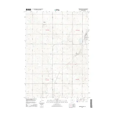
(17)- 2011 Map of Brandon, 2011 Print
 2011 Brandon2011 Print · USGSCovers Brandon Township, including Sioux Falls, Brandon, and other nearby areas
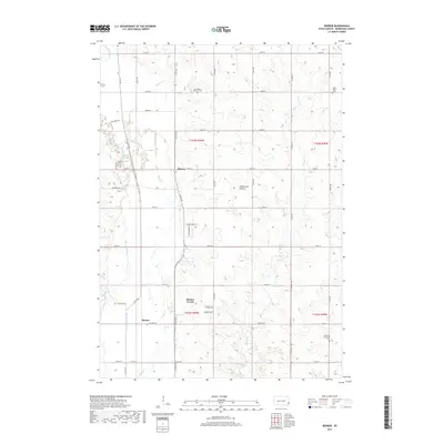
 - 2012 Map of Renner, 2012 Print
 2012 Renner2012 Print · USGSCovers Brandon Township, including Renner Corner, Sorum Heights, and other nearby areas
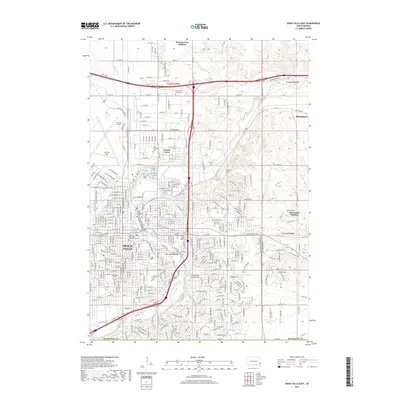
 - 2012 Map of Sioux Falls East, 2012 Print
 2012 Sioux Falls East2012 Print · USGSCovers Brandon Township, including Sioux Falls, Brandon, and other nearby areas
 - 2012 Map of Garretson West, 2012 Print
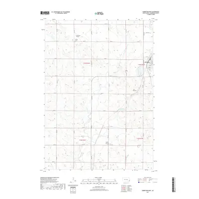
 2012 Garretson West2012 Print · USGSCovers Brandon Township, including Garretson, Palisade Township, and other nearby areas
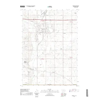
 - 2012 Map of Brandon, 2012 Print
 2012 Brandon2012 Print · USGSCovers Brandon Township, including Sioux Falls, Brandon, and other nearby areas
 - 2015 Map of Sioux Falls East, 2015 Print
 2015 Sioux Falls East2015 Print · USGSCovers Brandon Township, including Sioux Falls, Brandon, and other nearby areas
 - 2015 Map of Renner, 2015 Print
 2015 Renner2015 Print · USGSCovers Brandon Township, including Renner Corner, Sorum Heights, and other nearby areas
 - 2015 Map of Brandon, 2015 Print
 2015 Brandon2015 Print · USGSCovers Brandon Township, including Sioux Falls, Brandon, and other nearby areas
 - 2015 Map of Garretson West, 2015 Print
 2015 Garretson West2015 Print · USGSCovers Brandon Township, including Garretson, Palisade Township, and other nearby areas
 - 2017 Map of Renner, 2017 Print
 2017 Renner2017 Print · USGSCovers Brandon Township, including Renner Corner, Sorum Heights, and other nearby areas
 - 2017 Map of Brandon, 2017 Print
 2017 Brandon2017 Print · USGSCovers Brandon Township, including Sioux Falls, Brandon, and other nearby areas
 - 2017 Map of Sioux Falls East, 2017 Print
 2017 Sioux Falls East2017 Print · USGSCovers Brandon Township, including Sioux Falls, Brandon, and other nearby areas
 - 2017 Map of Garretson West, 2017 Print
 2017 Garretson West2017 Print · USGSCovers Brandon Township, including Garretson, Palisade Township, and other nearby areas
 - 2021 Map of Garretson West, 2021 Print
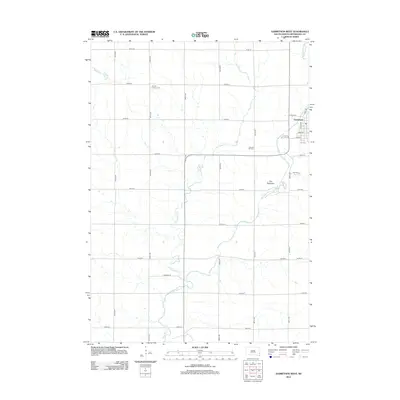
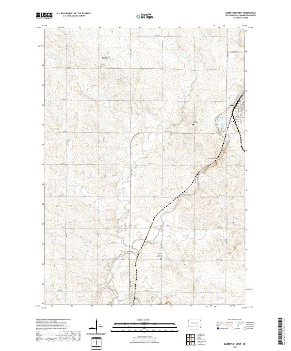 2021 Garretson West2021 Print · USGSMinnehaha County's eastern borderlands appear in detail during the early 21st century, centered on the unique river geography of Garretson. Researchers can trace local history through the Norway Lutheran Cem, the BNSF Railway corridor, and the geological site at The Palisades.
 - 2021 Map of Renner, 2021 Print
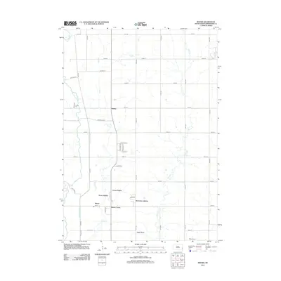
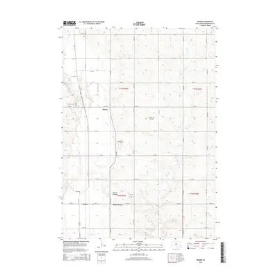
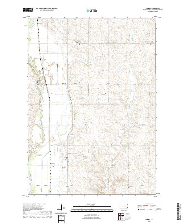 2021 Renner2021 Print · USGSMinnehaha County's agricultural heartland is documented here in the early 2020s, showing the evolving landscape around the Big Sioux River. Researchers can trace old family roots at East Nidaros Lutheran Cem or locate the settlements of Renner and Midway.
 - 2021 Map of Sioux Falls East, 2021 Print
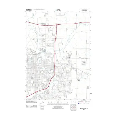
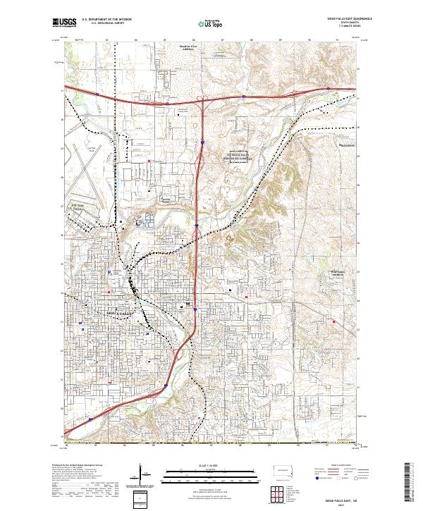 2021 Sioux Falls East2021 Print · USGSEastern Sioux Falls and Brandon are shown here at a moment of significant growth and institutional density. Researchers can trace the layout of Norton Acres, locate historic burial sites like Woodlawn Cemetery, or find Augustana College and the Minnehaha County Courthouse.
 - 2021 Map of Brandon, 2021 Print
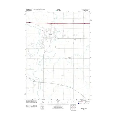
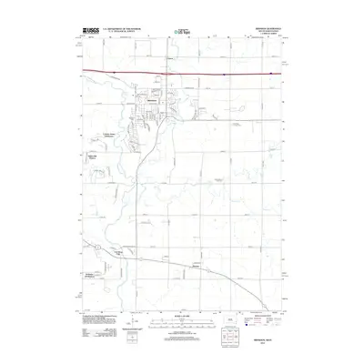
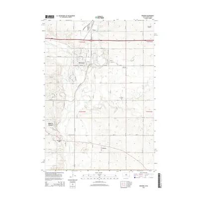
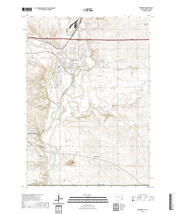 2021 Brandon2021 Print · USGSThe eastern edge of Minnehaha County is shown here in the 2020s, where modern Brandon meets the winding Split Rock Creek. Genealogists can trace family sites at Beaver Valley Lutheran Cem, Hokenson Cem, and the small settlement of Rowena.
End of results
Showing maps 1-17 of 17
Top cities near Brandon Township
- Sioux Falls historical maps
- Brandon historical maps
- Harrisburg historical maps
- Tea historical maps
- Dell Rapids historical maps
- Crooks historical maps
See more
Top neighborhoods of Brandon Township
Frequently asked questions
- What are the different types of historical maps available for Brandon Township?
- What is the oldest map of Brandon Township?
- Where can I purchase historical maps of Brandon Township for my home or office?
- Where can I download high-res historical maps of Brandon Township?
- Are there historical topographic maps available for Brandon Township?
- Is there historical aerial imagery available for Brandon Township?
- Where are historical maps of Brandon Township sourced from?