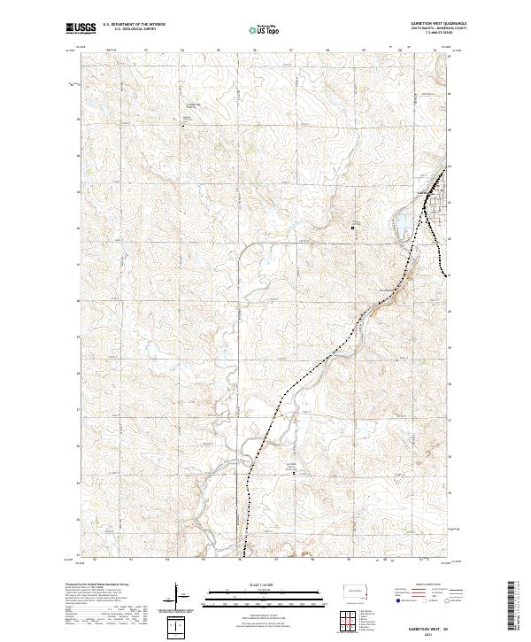
2021 Map of Garretson West
USGS Topo · Published 2021About this map
Garretson anchors the eastern edge of this Minnehaha County landscape, where the plateau of the Coteau des Prairies meets the intricate drainage of Split Rock Creek. The creek corridor is the map's primary landmark, featuring the dramatic geological formations at The Palisades and the modern recreational Split Rock Creek Canoe & Kayak Trl. This waterway has long influenced local development, as seen in the placement of the BNSF Railway which follows the terrain into town.
Find a feature on this map
40 named features on this map. Tap any name to fly to it.
Don’t see what you’re looking for? This feature index may not catch every label — zoom into the map to look around manually.
Map Details
Editions of this 2021 Garretson West Map
This is the sole edition of this map. No revisions or reprints were ever made.
Other maps of this area

1955 · Sioux Falls
USGS Topo · 1:250,000

1958 · Sioux Falls
USGS Topo · 1:250,000

1962 · Dell Rapids
USGS Topo · 1:24,000

1962 · Renner
USGS Topo · 1:24,000

1962 · Brandon
USGS Topo · 1:24,000

1962 · Sioux Falls East
USGS Topo · 1:24,000

1962 · Garretson West
USGS Topo · 1:24,000

1967 · Valley Springs
USGS Topo · 1:24,000

1967 · Garretson East
USGS Topo · 1:24,000

1967 · Jasper
USGS Topo · 1:24,000