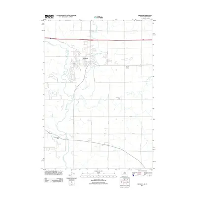
2011 Map of Brandon
USGS Topo · Published 2011About this map
Brandon serves as the central hub of this South Dakota landscape, where the meandering course of the Big Sioux River and its tributary, Split Rock Creek, define the local topography. By the early 2010s, residential development is clearly visible across the township grid, particularly concentrated around the main settlement and extending toward Corson to the north. Further south, the map documents the smaller communities of Rowena and East Sioux Falls, which remain more distinct in their rural surroundings compared to the growing suburban footprint of the regional center.
Find a feature on this map
34 named features on this map. Tap any name to fly to it.
Don’t see what you’re looking for? This feature index may not catch every label — zoom into the map to look around manually.
Map Details
Editions of this 2011 Brandon Map
This is the sole edition of this map. No revisions or reprints were ever made.
Other maps of this area

1897 · Canton
USGS Topo · 1:125,000

1900 · Canton
USGS Topo · 1:125,000

1955 · Sioux Falls
USGS Topo · 1:250,000

1958 · Sioux Falls
USGS Topo · 1:250,000

1962 · Renner
USGS Topo · 1:24,000

1962 · Klondike
USGS Topo · 1:24,000

1962 · Harrisburg
USGS Topo · 1:24,000

1962 · Brandon
USGS Topo · 1:24,000

1962 · Sioux Falls East
USGS Topo · 1:24,000

1962 · Garretson West
USGS Topo · 1:24,000