Old Maps of Egan Township, South Dakota for Metal Detecting
Plan your next treasure hunt with 26 historic maps of Egan Township. Find old homesites, ghost towns, trails, and gathering spots that may be lost to time — perfect for identifying promising metal detecting locations.
- Locate forgotten sites: Uncover places like long-lost settlements, abandoned rail lines, or gathering spots.
- Plan better hunts: Use map overlays combined with LiDAR or satellite views to narrow in on historically rich areas.
- Made for detectorists: Thousands of hobbyists use these maps to discover relics, coins, and hidden history.
Use these historic maps to boost your research and find new opportunities beneath the surface of Egan Township.
Egan Township, SD maps
(26)- 1953 Map of Watertown, 1968 Print
 1953 Watertown1968 Print · USGSEastern South Dakota and the Minnesota borderlands are captured here during the mid-twentieth century as the region's agricultural and rail-service centers thrived. Genealogists and local historians can trace family-named sites across the Coteau des Prairies and find landmarks in Watertown, De Smet, and Brookings.3 unique versions available
 - 1955 Map of Sioux Falls, 1967 Print
 1955 Sioux Falls1967 Print · USGSThe eastern South Dakota and western Minnesota borderlands come alive in the mid-fifties, showing the vital rail-to-river connections of the era. Genealogists can trace family footprints across townships like Madison and Pipestone, while following the paths of the Big Sioux River and the Chicago and North Western line.3 unique versions available
 - 1958 Map of Sioux Falls
 1958 Sioux Falls1958 Print · USGSThe tri-state borderlands of South Dakota, Minnesota, and Iowa are captured here during the mid-century peak of the regional rail network. Genealogists and historians can trace local landmarks like Augustana Academy, the St Marys Cem, and the path of the Illinois Central through Rock Rapids.
 - 1958 Map of Watertown
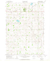
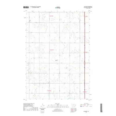
 1958 Watertown1958 Print · USGSThe eastern South Dakota prairie and the Minnesota borderlands are captured here in the late fifties, showcasing a landscape of terminal moraine lakes and burgeoning rail hubs. Genealogists and historians can trace the early paths of the Chicago and North Western railroad or locate family roots in Watertown, Clark, or the Sisseton Indian Reservation.2 unique versions available
 - 1963 Map of Trent, 1964 Print
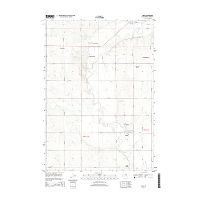
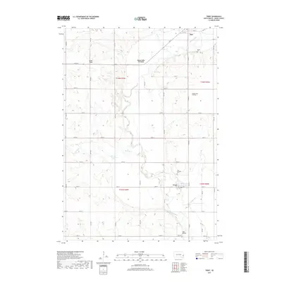
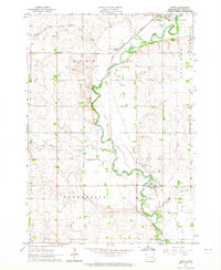 1963 Trent1964 Print · USGSMoody County's rail and river landscape is captured here in the early sixties as the Big Sioux valley remained a vital transport corridor. Genealogists can trace family footprints at Gale Ridge Sch and several local burial grounds like Hillside Cem and Trent Cem.2 unique versions available
 - 1963 Map of Colman, 1964 Print
 1963 Colman1964 Print · USGSThe prairie landscape of Moody County comes into focus in the early sixties, centered on the rail-linked town of Colman. Genealogists can trace rural family roots through several local landmarks like Devaney Sch, West Ch, and Molskness Cem.3 unique versions available
 - 1964 Map of Rutland SE, 1965 Print
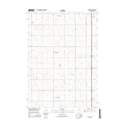
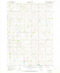 1964 Rutland SE1965 Print · USGSPrairie townships in Moody County are shown in detail during the 1960s, capturing a rural landscape of family farms and section roads. Researchers can locate community landmarks like Whaley Sch, Mt Auburn Cem, and the Wellman Ch.2 unique versions available
 - 1964 Map of Flandreau SW, 1965 Print
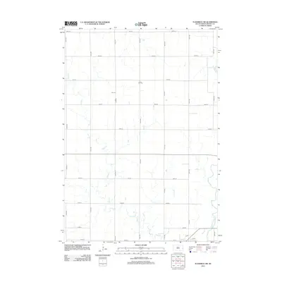
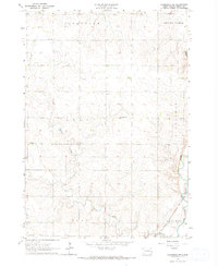 1964 Flandreau SW1965 Print · USGSMoody County's agricultural landscape is seen here in the early 1960s, centered on the railroad town of Egan. Genealogists can trace a dense network of country schoolhouses and churches including Tidd Sch, Clare Ch, and Bell Sch.2 unique versions available
 - 1985 Map of Sioux Falls
 1985 Sioux Falls1985 Print · USGSIn the mid-1980s, the borderlands of South Dakota, Minnesota, and Iowa reveal a landscape shaped by the Big Sioux River and a growing urban hub. Researchers can trace the development of Sioux Falls and locate smaller communities like Dell Rapids, Garretson, and Valley Springs.2 unique versions available
 - 1985 Map of Brookings
 1985 Brookings1985 Print · USGSThe South Dakota and Minnesota borderlands in the mid-1980s are defined here by a network of prairie lakes and bustling rail corridors. Researchers can trace the path of the Chicago and North Western through Brookings or explore the numerous wetlands of Oakwood Lakes State Park.2 unique versions available
 - 2012 Map of Flandreau SW, 2012 Print
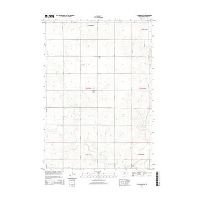
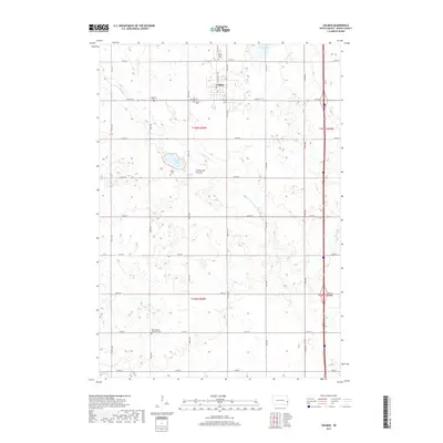
 2012 Flandreau SW2012 Print · USGSCovers Egan Township, including Egan, Clare Township, and other nearby areas
 - 2012 Map of Rutland SE, 2012 Print
 2012 Rutland SE2012 Print · USGSCovers Egan Township, including Clare Township, Colman Township, and other nearby areas
 - 2012 Map of Trent, 2012 Print
 2012 Trent2012 Print · USGSCovers Egan Township, including Egan, Trent, and other nearby areas
 - 2012 Map of Colman, 2012 Print
 2012 Colman2012 Print · USGSCovers Egan Township, including Colman, Colman Township, and other nearby areas
 - 2015 Map of Flandreau SW, 2015 Print
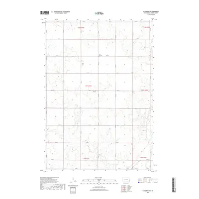
 2015 Flandreau SW2015 Print · USGSCovers Egan Township, including Egan, Clare Township, and other nearby areas
 - 2015 Map of Rutland SE, 2015 Print
 2015 Rutland SE2015 Print · USGSCovers Egan Township, including Clare Township, Colman Township, and other nearby areas
 - 2015 Map of Trent, 2015 Print
 2015 Trent2015 Print · USGSCovers Egan Township, including Egan, Trent, and other nearby areas
 - 2015 Map of Colman, 2015 Print
 2015 Colman2015 Print · USGSCovers Egan Township, including Colman, Colman Township, and other nearby areas
 - 2017 Map of Colman, 2017 Print
 2017 Colman2017 Print · USGSCovers Egan Township, including Colman, Colman Township, and other nearby areas
 - 2017 Map of Trent, 2017 Print
 2017 Trent2017 Print · USGSCovers Egan Township, including Egan, Trent, and other nearby areas
 - 2017 Map of Flandreau SW, 2017 Print
 2017 Flandreau SW2017 Print · USGSCovers Egan Township, including Egan, Clare Township, and other nearby areas
 - 2017 Map of Rutland SE, 2017 Print
 2017 Rutland SE2017 Print · USGSCovers Egan Township, including Clare Township, Colman Township, and other nearby areas
 - 2021 Map of Trent, 2021 Print
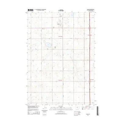
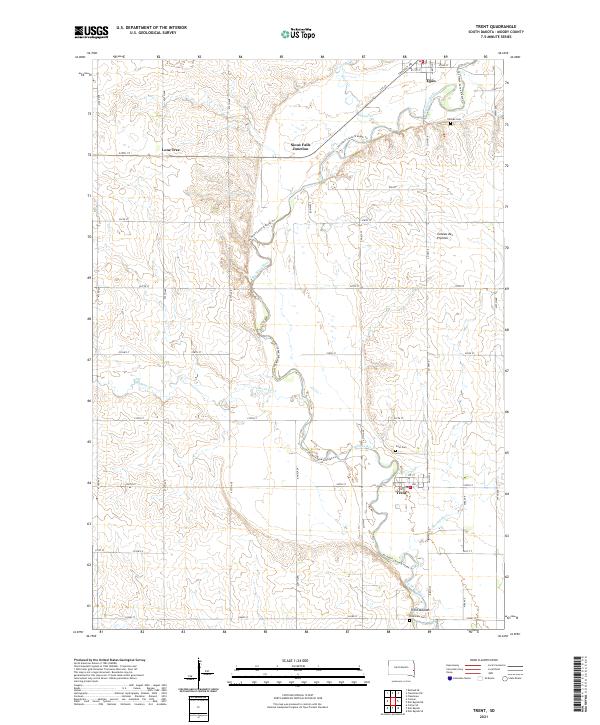 2021 Trent2021 Print · USGSMoody County's agricultural heartland is documented here in the early twenty-first century as the Big Sioux River winds past small-town hubs. Researchers can trace local heritage at Trent Mounds, locate family plots at Trent Cem, or explore the rural surroundings of Lone Tree.
 - 2021 Map of Colman, 2021 Print
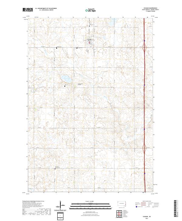 2021 Colman2021 Print · USGSMoody County's agricultural heartland is captured here in the early twenty-first century as it sits atop the Coteau des Prairies. Genealogists will find a wealth of data across five local burial sites, including Saint Peter's Cem and Hegre Cem.
 - 2021 Map of Flandreau SW, 2021 Print
 2021 Flandreau SW2021 Print · USGSMoody County agriculture and the Big Sioux River valley are shown in this contemporary topographic record. Local historians can trace the geography around Egan and find family-named landmarks like Clare Cem and the Jay Heath Canoe & Kayak Trl.
Showing maps 1-25 of 26
Top cities near Egan Township
- Dell Rapids historical maps
- Flandreau historical maps
- Baltic historical maps
- Chester historical maps
- Colton historical maps
- Colman historical maps
See more
Top neighborhoods of Egan Township
Frequently asked questions
- What are the different types of historical maps available for Egan Township?
- What is the oldest map of Egan Township?
- Where can I purchase historical maps of Egan Township for my home or office?
- Where can I download high-res historical maps of Egan Township?
- Are there historical topographic maps available for Egan Township?
- Is there historical aerial imagery available for Egan Township?
- Where are historical maps of Egan Township sourced from?