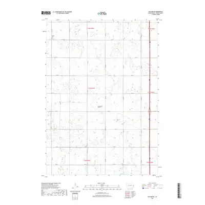
2017 Map of Rutland SE
USGS Topo · Published 2017About this map
Coteau des Prairies defines the rolling upland character of this Moody County landscape, where the glacial plateau is dotted with numerous small wetlands and basins typical of the region's hydrography. Small bodies of water are scattered across the township lines of T108N R50W and T107N R50W, culminating in Mud Lake at the southern edge of the survey. The rural nature of the area is underscored by the presence of isolated burial grounds, including Mount Auburn Cem in the northwest and Martinson Cem further east, which serve as historical anchors for the surrounding farming community. A systematic grid of section-line roads, such as Co Hwy C and Co Hwy D, facilitates movement through this agricultural territory, showing the persistent land-use patterns established by the Public Land Survey System.
Find a feature on this map
21 named features on this map. Tap any name to fly to it.
Don’t see what you’re looking for? This feature index may not catch every label — zoom into the map to look around manually.
Map Details
Editions of this 2017 Rutland SE Map
This is the sole edition of this map. No revisions or reprints were ever made.
Other maps of this area

1953 · Watertown
USGS Topo · 1:250,000

1955 · Sioux Falls
USGS Topo · 1:250,000

1958 · Sioux Falls
USGS Topo · 1:250,000

1958 · Watertown
USGS Topo · 1:250,000

1963 · Trent
USGS Topo · 1:24,000

1963 · Colman
USGS Topo · 1:24,000

1964 · Medary
USGS Topo · 1:24,000

1964 · Rutland SE
USGS Topo · 1:24,000

1964 · Flandreau SW
USGS Topo · 1:24,000

1964 · Flandreau NW
USGS Topo · 1:24,000