2000s (21st Century) Maps of Enterprise Township, South Dakota
Explore 16 historic maps of Enterprise Township from the 2000s (21st Century). These maps offer a rare glimpse into what life looked like during the 2000s — showing old roads, neighborhoods, homes, and landmarks that have changed or disappeared over time.
Whether you're researching your family's past, planning a metal detecting trip, or studying how Enterprise Township's landscape evolved across the 2000s, these high-resolution maps are a powerful tool for exploring the history of this region.
- Focus on a specific era: All maps on this page are from the 2000s, giving you a focused view of this time period.
- See what’s changed: Compare century-old streets, trails, and buildings to today's modern landscape using overlays and satellite layers.
- Research with precision: Use these maps for genealogy, historical research, land use analysis, or educational projects.
- View, download, or print: Maps are fully viewable online in high resolution, and can be downloaded or printed for your own records.
Start exploring Enterprise Township's history through authentic maps from the 2000s. This is your window into the past.
Enterprise Township, SD maps
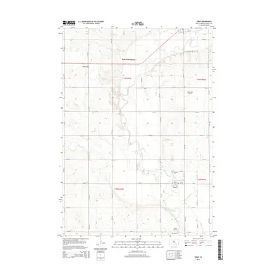
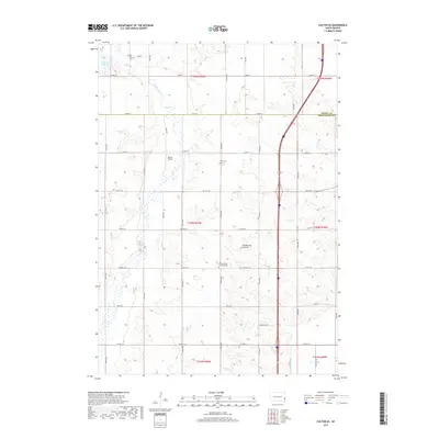
(16)- 2012 Map of Trent, 2012 Print
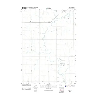 2012 Trent2012 Print · USGSCovers Enterprise Township, including Egan, Trent, and other nearby areas
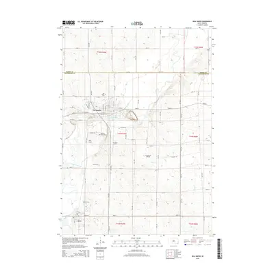
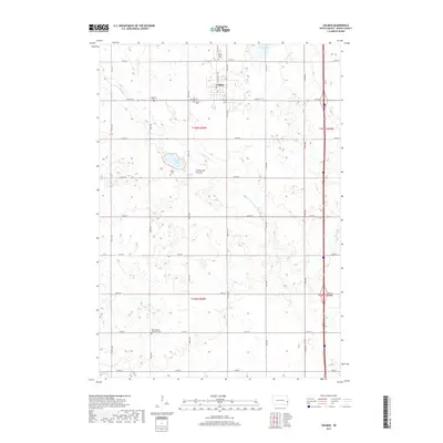
 - 2012 Map of Colman, 2012 Print
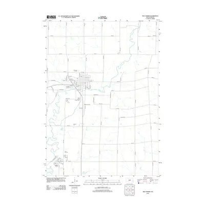
 2012 Colman2012 Print · USGSCovers Enterprise Township, including Colman, Colman Township, and other nearby areas
 - 2012 Map of Colton SE, 2012 Print
 2012 Colton SE2012 Print · USGSCovers Enterprise Township, including Baltic, Lynn Township, and other nearby areas
 - 2012 Map of Dell Rapids, 2012 Print
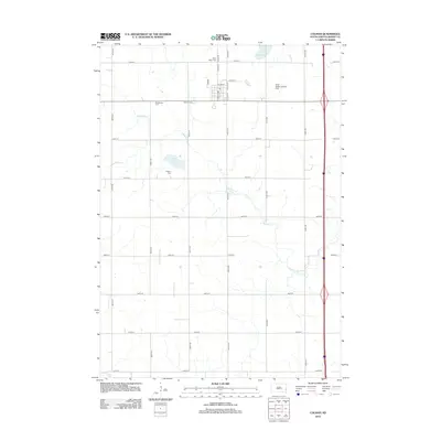
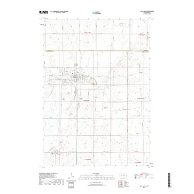
 2012 Dell Rapids2012 Print · USGSCovers Enterprise Township, including Dell Rapids, Baltic, and other nearby areas
 - 2015 Map of Trent, 2015 Print
 2015 Trent2015 Print · USGSCovers Enterprise Township, including Egan, Trent, and other nearby areas
 - 2015 Map of Dell Rapids, 2015 Print
 2015 Dell Rapids2015 Print · USGSCovers Enterprise Township, including Dell Rapids, Baltic, and other nearby areas
 - 2015 Map of Colton SE, 2015 Print
 2015 Colton SE2015 Print · USGSCovers Enterprise Township, including Baltic, Lynn Township, and other nearby areas
 - 2015 Map of Colman, 2015 Print
 2015 Colman2015 Print · USGSCovers Enterprise Township, including Colman, Colman Township, and other nearby areas
 - 2017 Map of Colton SE, 2017 Print
 2017 Colton SE2017 Print · USGSCovers Enterprise Township, including Baltic, Lynn Township, and other nearby areas
 - 2017 Map of Colman, 2017 Print
 2017 Colman2017 Print · USGSCovers Enterprise Township, including Colman, Colman Township, and other nearby areas
 - 2017 Map of Dell Rapids, 2017 Print
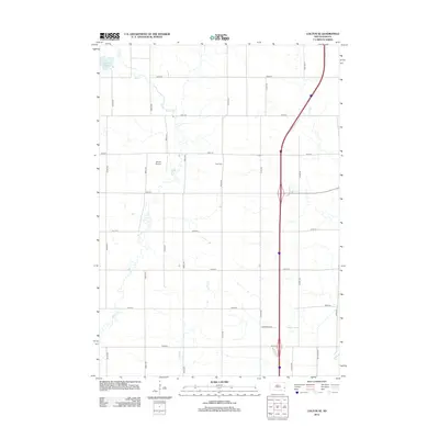
 2017 Dell Rapids2017 Print · USGSCovers Enterprise Township, including Dell Rapids, Baltic, and other nearby areas
 - 2017 Map of Trent, 2017 Print
 2017 Trent2017 Print · USGSCovers Enterprise Township, including Egan, Trent, and other nearby areas
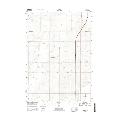
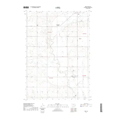
 - 2021 Map of Trent, 2021 Print
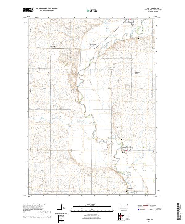 2021 Trent2021 Print · USGSMoody County's agricultural heartland is documented here in the early twenty-first century as the Big Sioux River winds past small-town hubs. Researchers can trace local heritage at Trent Mounds, locate family plots at Trent Cem, or explore the rural surroundings of Lone Tree.
 - 2021 Map of Dell Rapids, 2021 Print
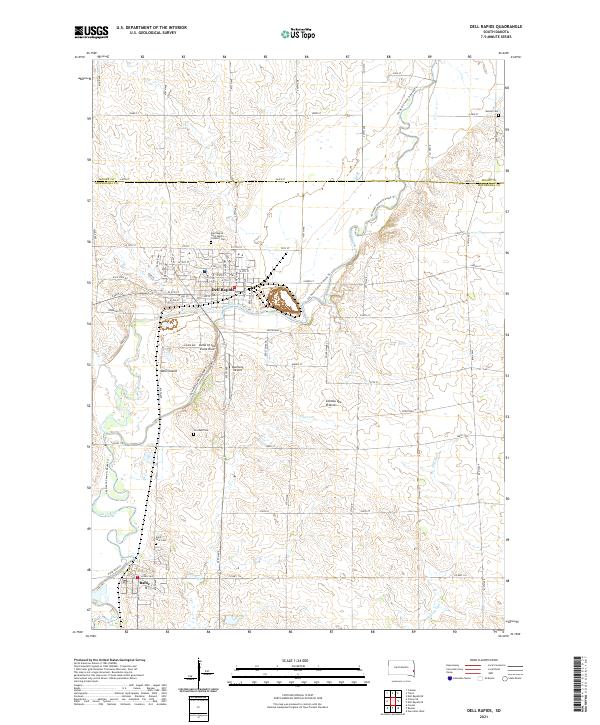 2021 Dell Rapids2021 Print · USGSThe quartzite formations and river bends of Minnehaha County define this modern survey of the Big Sioux valley. Genealogists and historians can trace local family roots at Saint Olaf Cem, Stordahl Cem, and Nelson Cem, or explore the geography of Dell Island.
 - 2021 Map of Colman, 2021 Print
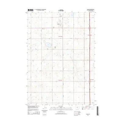
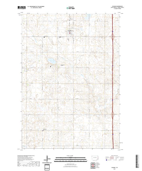 2021 Colman2021 Print · USGSMoody County's agricultural heartland is captured here in the early twenty-first century as it sits atop the Coteau des Prairies. Genealogists will find a wealth of data across five local burial sites, including Saint Peter's Cem and Hegre Cem.
 - 2021 Map of Colton SE, 2021 Print
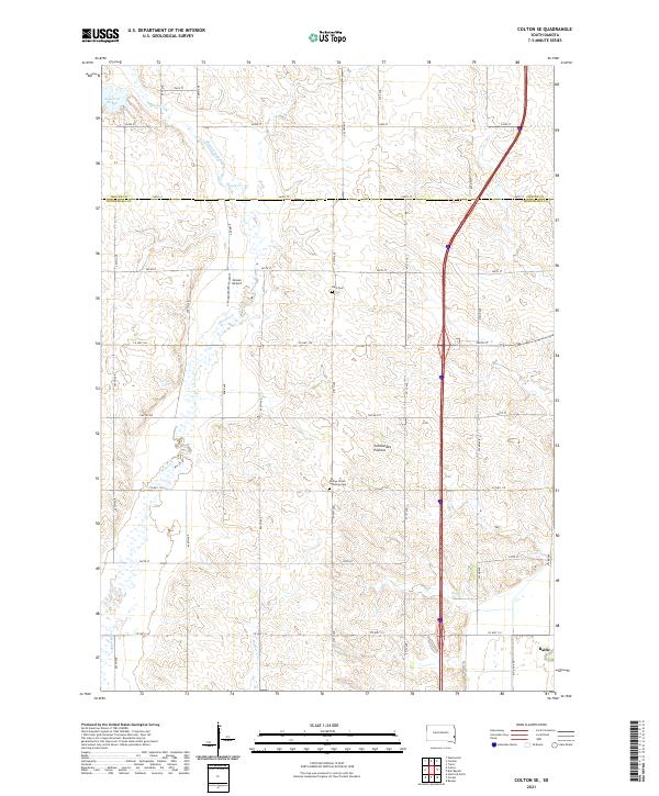 2021 Colton SE2021 Print · USGSMinnehaha County at the start of the 2020s shows a landscape of precision farming and deep-rooted heritage sites. Researchers can trace family history at Burk Cem or the Willow Creek Lutheran Cem and locate rural landmarks like Jensen Airport.
End of results
Showing maps 1-16 of 16
Top cities near Enterprise Township
- Dell Rapids historical maps
- Flandreau historical maps
- Crooks historical maps
- Baltic historical maps
- Garretson historical maps
- Lyons historical maps
See more
Top neighborhoods of Enterprise Township
Frequently asked questions
- What are the different types of historical maps available for Enterprise Township?
- What is the oldest map of Enterprise Township?
- Where can I purchase historical maps of Enterprise Township for my home or office?
- Where can I download high-res historical maps of Enterprise Township?
- Are there historical topographic maps available for Enterprise Township?
- Is there historical aerial imagery available for Enterprise Township?
- Where are historical maps of Enterprise Township sourced from?