Old Maps of Enterprise Township, South Dakota for Academic Research
Study the evolution of Enterprise Township with 23 high-resolution historic maps. Whether you're teaching, researching, or modeling changes in land use, these maps provide essential visual documentation of urban, environmental, and geographic change.
- Analyze long-term change: Track patterns in development, transportation, and natural features.
- Ideal for environmental or urban studies: Support academic projects with primary historical map data.
- Use in the classroom or lab: Educators and researchers rely on these maps to bring historical context to life.
These maps are a powerful tool for teaching, research, and visualizing how Enterprise Township has changed over the decades.
Enterprise Township, SD maps
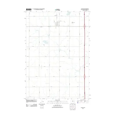
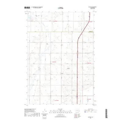
(23)- 1955 Map of Sioux Falls, 1967 Print
 1955 Sioux Falls1967 Print · USGSThe eastern South Dakota and western Minnesota borderlands come alive in the mid-fifties, showing the vital rail-to-river connections of the era. Genealogists can trace family footprints across townships like Madison and Pipestone, while following the paths of the Big Sioux River and the Chicago and North Western line.3 unique versions available
 - 1958 Map of Sioux Falls
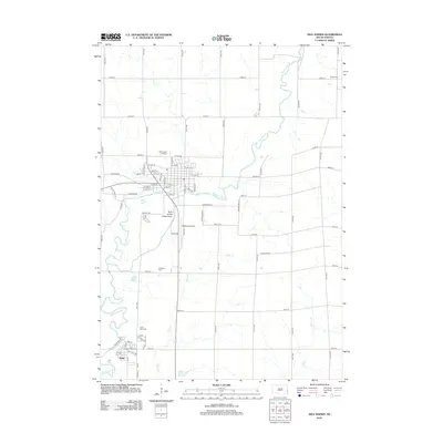
 1958 Sioux Falls1958 Print · USGSThe tri-state borderlands of South Dakota, Minnesota, and Iowa are captured here during the mid-century peak of the regional rail network. Genealogists and historians can trace local landmarks like Augustana Academy, the St Marys Cem, and the path of the Illinois Central through Rock Rapids.
 - 1962 Map of Colton SE, 1963 Print
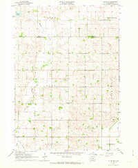 1962 Colton SE1963 Print · USGSMinnehaha County's rural townships are captured in the early sixties as they balanced traditional agriculture with evolving transport. Trace local genealogy and infrastructure through the Willow Creek Ch, Burk Cem, and an Old Railroad Grade.2 unique versions available
 - 1962 Map of Dell Rapids, 1963 Print
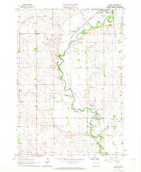
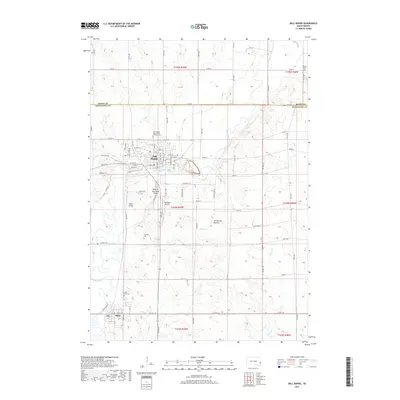
 1962 Dell Rapids1963 Print · USGSDell Rapids and the Big Sioux River valley are captured in the early sixties, showing a landscape shaped by water and rail. Trace family roots at Nelson Cem and St Olaf Cem, or locate the rural Carothers Sch No 86 and the local Quarry.2 unique versions available
 - 1963 Map of Trent, 1964 Print
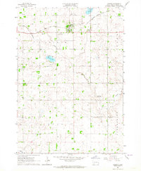
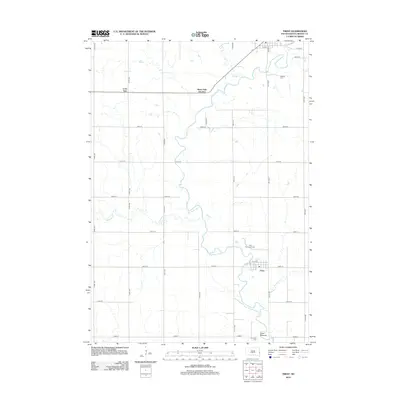
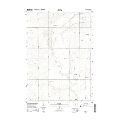
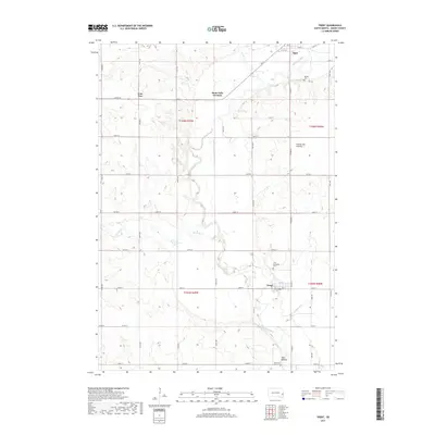
 1963 Trent1964 Print · USGSMoody County's rail and river landscape is captured here in the early sixties as the Big Sioux valley remained a vital transport corridor. Genealogists can trace family footprints at Gale Ridge Sch and several local burial grounds like Hillside Cem and Trent Cem.2 unique versions available
 - 1963 Map of Colman, 1964 Print
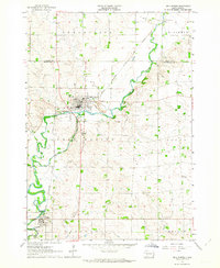
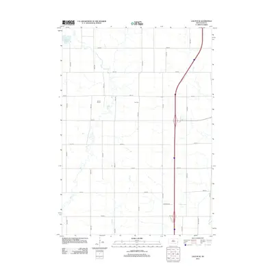
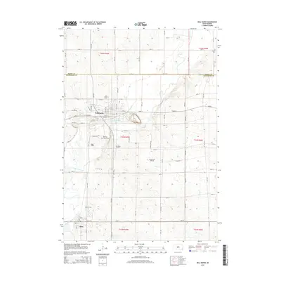
 1963 Colman1964 Print · USGSThe prairie landscape of Moody County comes into focus in the early sixties, centered on the rail-linked town of Colman. Genealogists can trace rural family roots through several local landmarks like Devaney Sch, West Ch, and Molskness Cem.3 unique versions available
 - 1985 Map of Sioux Falls
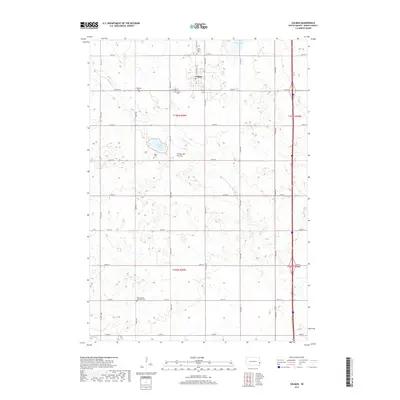
 1985 Sioux Falls1985 Print · USGSIn the mid-1980s, the borderlands of South Dakota, Minnesota, and Iowa reveal a landscape shaped by the Big Sioux River and a growing urban hub. Researchers can trace the development of Sioux Falls and locate smaller communities like Dell Rapids, Garretson, and Valley Springs.2 unique versions available
 - 2012 Map of Trent, 2012 Print
 2012 Trent2012 Print · USGSCovers Enterprise Township, including Egan, Trent, and other nearby areas
 - 2012 Map of Colman, 2012 Print
 2012 Colman2012 Print · USGSCovers Enterprise Township, including Colman, Colman Township, and other nearby areas
 - 2012 Map of Colton SE, 2012 Print
 2012 Colton SE2012 Print · USGSCovers Enterprise Township, including Baltic, Lynn Township, and other nearby areas
 - 2012 Map of Dell Rapids, 2012 Print
 2012 Dell Rapids2012 Print · USGSCovers Enterprise Township, including Dell Rapids, Baltic, and other nearby areas
 - 2015 Map of Trent, 2015 Print
 2015 Trent2015 Print · USGSCovers Enterprise Township, including Egan, Trent, and other nearby areas
 - 2015 Map of Dell Rapids, 2015 Print
 2015 Dell Rapids2015 Print · USGSCovers Enterprise Township, including Dell Rapids, Baltic, and other nearby areas
 - 2015 Map of Colton SE, 2015 Print
 2015 Colton SE2015 Print · USGSCovers Enterprise Township, including Baltic, Lynn Township, and other nearby areas
 - 2015 Map of Colman, 2015 Print
 2015 Colman2015 Print · USGSCovers Enterprise Township, including Colman, Colman Township, and other nearby areas
 - 2017 Map of Colton SE, 2017 Print
 2017 Colton SE2017 Print · USGSCovers Enterprise Township, including Baltic, Lynn Township, and other nearby areas
 - 2017 Map of Colman, 2017 Print
 2017 Colman2017 Print · USGSCovers Enterprise Township, including Colman, Colman Township, and other nearby areas
 - 2017 Map of Dell Rapids, 2017 Print
 2017 Dell Rapids2017 Print · USGSCovers Enterprise Township, including Dell Rapids, Baltic, and other nearby areas
 - 2017 Map of Trent, 2017 Print
 2017 Trent2017 Print · USGSCovers Enterprise Township, including Egan, Trent, and other nearby areas
 - 2021 Map of Trent, 2021 Print
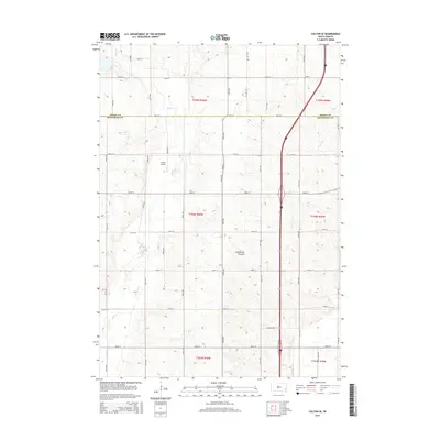
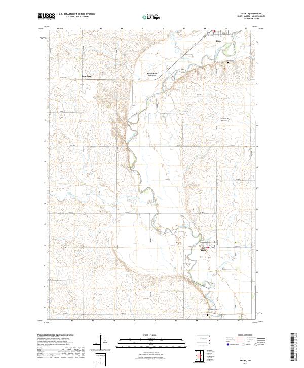 2021 Trent2021 Print · USGSMoody County's agricultural heartland is documented here in the early twenty-first century as the Big Sioux River winds past small-town hubs. Researchers can trace local heritage at Trent Mounds, locate family plots at Trent Cem, or explore the rural surroundings of Lone Tree.
 - 2021 Map of Dell Rapids, 2021 Print
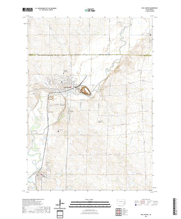 2021 Dell Rapids2021 Print · USGSThe quartzite formations and river bends of Minnehaha County define this modern survey of the Big Sioux valley. Genealogists and historians can trace local family roots at Saint Olaf Cem, Stordahl Cem, and Nelson Cem, or explore the geography of Dell Island.
 - 2021 Map of Colman, 2021 Print
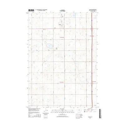
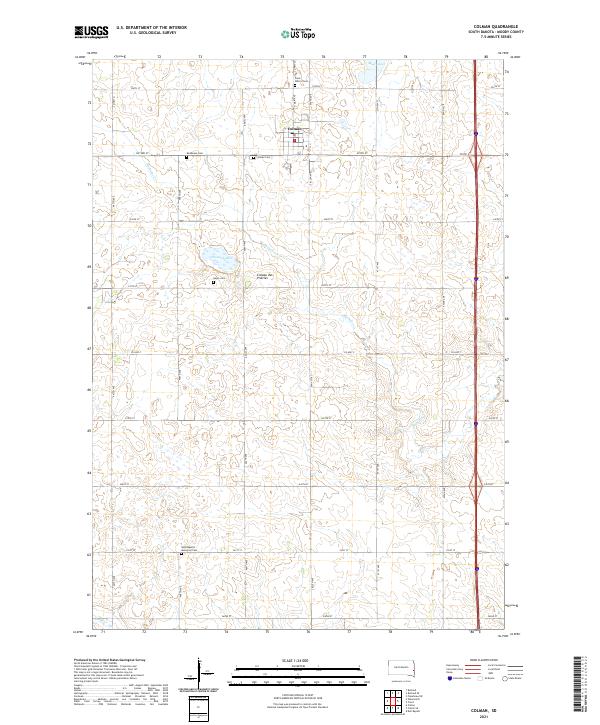 2021 Colman2021 Print · USGSMoody County's agricultural heartland is captured here in the early twenty-first century as it sits atop the Coteau des Prairies. Genealogists will find a wealth of data across five local burial sites, including Saint Peter's Cem and Hegre Cem.
 - 2021 Map of Colton SE, 2021 Print
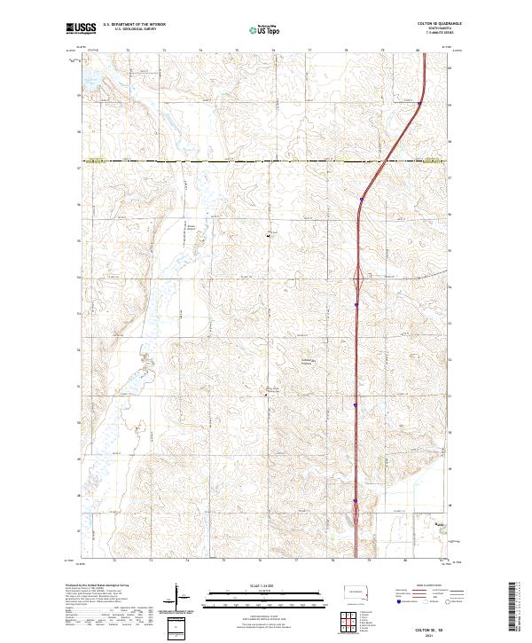 2021 Colton SE2021 Print · USGSMinnehaha County at the start of the 2020s shows a landscape of precision farming and deep-rooted heritage sites. Researchers can trace family history at Burk Cem or the Willow Creek Lutheran Cem and locate rural landmarks like Jensen Airport.
End of results
Showing maps 1-23 of 23
Top cities near Enterprise Township
- Dell Rapids historical maps
- Flandreau historical maps
- Crooks historical maps
- Baltic historical maps
- Garretson historical maps
- Lyons historical maps
See more
Top neighborhoods of Enterprise Township
Frequently asked questions
- What are the different types of historical maps available for Enterprise Township?
- What is the oldest map of Enterprise Township?
- Where can I purchase historical maps of Enterprise Township for my home or office?
- Where can I download high-res historical maps of Enterprise Township?
- Are there historical topographic maps available for Enterprise Township?
- Is there historical aerial imagery available for Enterprise Township?
- Where are historical maps of Enterprise Township sourced from?