Old Maps of Ward Township, South Dakota for Academic Research
Study the evolution of Ward Township with 25 high-resolution historic maps. Whether you're teaching, researching, or modeling changes in land use, these maps provide essential visual documentation of urban, environmental, and geographic change.
- Analyze long-term change: Track patterns in development, transportation, and natural features.
- Ideal for environmental or urban studies: Support academic projects with primary historical map data.
- Use in the classroom or lab: Educators and researchers rely on these maps to bring historical context to life.
These maps are a powerful tool for teaching, research, and visualizing how Ward Township has changed over the decades.
Ward Township, SD maps
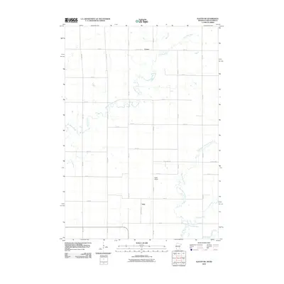
(25)- 1953 Map of Watertown, 1968 Print
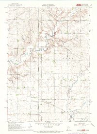
 1953 Watertown1968 Print · USGSEastern South Dakota and the Minnesota borderlands are captured here during the mid-twentieth century as the region's agricultural and rail-service centers thrived. Genealogists and local historians can trace family-named sites across the Coteau des Prairies and find landmarks in Watertown, De Smet, and Brookings.3 unique versions available
 - 1958 Map of Watertown
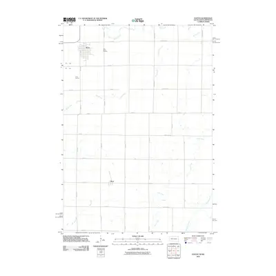
 1958 Watertown1958 Print · USGSThe eastern South Dakota prairie and the Minnesota borderlands are captured here in the late fifties, showcasing a landscape of terminal moraine lakes and burgeoning rail hubs. Genealogists and historians can trace the early paths of the Chicago and North Western railroad or locate family roots in Watertown, Clark, or the Sisseton Indian Reservation.2 unique versions available
 - 1967 Map of Elkton SW, 1968 Print
 1967 Elkton SW1968 Print · USGSThe Minnesota and South Dakota borderlands come alive in this mid-sixties survey of Pipestone and Moody Counties. Researchers can trace the path of the Milwaukee Road through Airlie or locate the rural Fletcher Sch.2 unique versions available
 - 1967 Map of Elkton, 1978 Print
 1967 Elkton1978 Print · USGSElkton sits at a bustling prairie rail junction on the South Dakota and Minnesota border during the late sixties. Genealogists and local researchers can locate St Marys Cem, trace the C & N W line, or follow the winding course of Medary Creek.
 - 1972 Map of Flandreau NE, 1973 Print
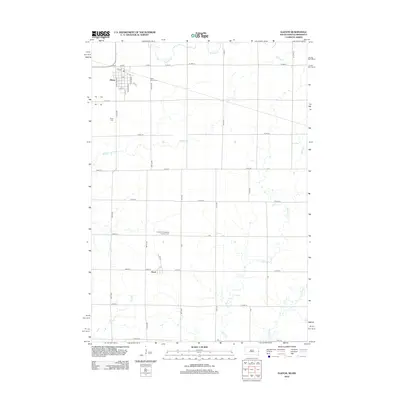
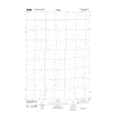
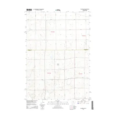
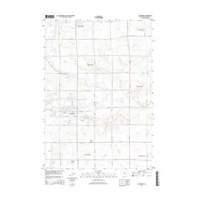
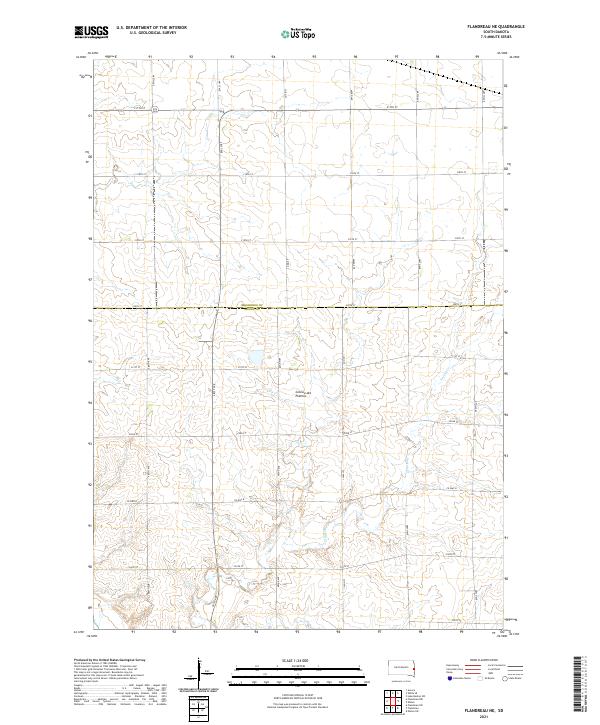
 1972 Flandreau NE1973 Print · USGSThe rural townships of eastern South Dakota are captured here in the early seventies as the agricultural landscape matured. Genealogists and historians can locate the local Townhall, trace the Chicago and North Western rail line, and find old Gravel Pits.
 - 1972 Map of Flandreau, 1973 Print
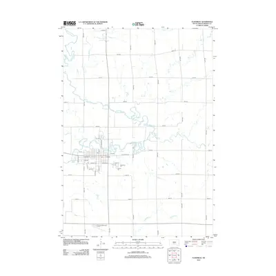
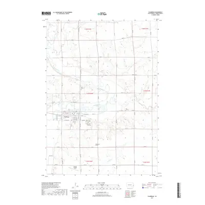
 1972 Flandreau1973 Print · USGSMoody County in the early seventies centers on the meanders of the Big Sioux River and the bustling rail hub at Flandreau. Family historians can locate specific sites like the Flandreau Indian Sch, Catholic Cem, and the old Chicago Milwaukee St Paul and Pacific rail line.
 - 1985 Map of Brookings
 1985 Brookings1985 Print · USGSThe South Dakota and Minnesota borderlands in the mid-1980s are defined here by a network of prairie lakes and bustling rail corridors. Researchers can trace the path of the Chicago and North Western through Brookings or explore the numerous wetlands of Oakwood Lakes State Park.2 unique versions available
 - 2010 Map of Elkton SW, 2010 Print
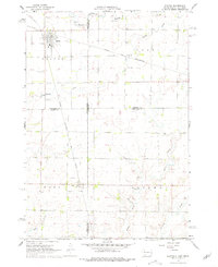
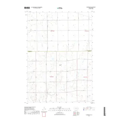
 2010 Elkton SW2010 Print · USGSCovers Ward Township, including Airlie, Cresson, and other nearby areas
 - 2010 Map of Elkton, 2010 Print
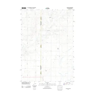
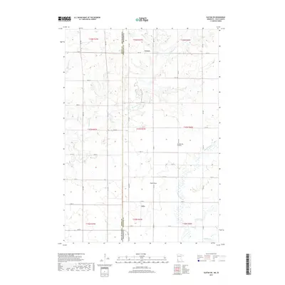
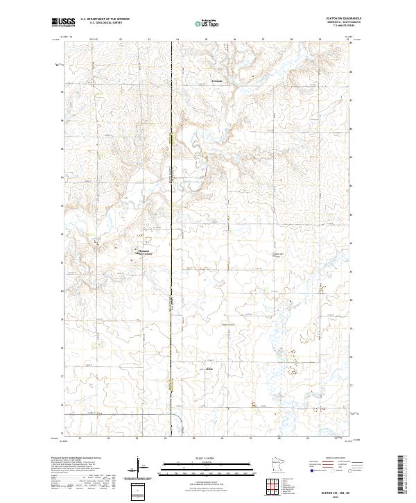
 2010 Elkton2010 Print · USGSCovers Ward Township, including Elkton, Ward, and other nearby areas
 - 2012 Map of Elkton, 2012 Print
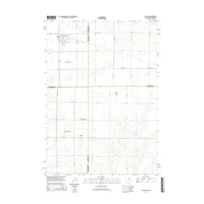
 2012 Elkton2012 Print · USGSCovers Ward Township, including Elkton, Ward, and other nearby areas
 - 2012 Map of Flandreau, 2012 Print
 2012 Flandreau2012 Print · USGSCovers Ward Township, including Flandreau, Union Township, and other nearby areas
 - 2012 Map of Flandreau NE, 2012 Print
 2012 Flandreau NE2012 Print · USGSCovers Ward Township, including Spring Creek Township, Elkton Township, and other nearby areas
 - 2013 Map of Elkton SW, 2013 Print
 2013 Elkton SW2013 Print · USGSCovers Ward Township, including Airlie, Cresson, and other nearby areas
 - 2015 Map of Elkton, 2015 Print
 2015 Elkton2015 Print · USGSCovers Ward Township, including Elkton, Ward, and other nearby areas
 - 2015 Map of Flandreau NE, 2015 Print
 2015 Flandreau NE2015 Print · USGSCovers Ward Township, including Spring Creek Township, Elkton Township, and other nearby areas
 - 2015 Map of Flandreau, 2015 Print
 2015 Flandreau2015 Print · USGSCovers Ward Township, including Flandreau, Union Township, and other nearby areas
 - 2016 Map of Elkton SW, 2016 Print
 2016 Elkton SW2016 Print · USGSCovers Ward Township, including Airlie, Cresson, and other nearby areas
 - 2017 Map of Flandreau, 2017 Print
 2017 Flandreau2017 Print · USGSCovers Ward Township, including Flandreau, Union Township, and other nearby areas
 - 2017 Map of Elkton, 2017 Print
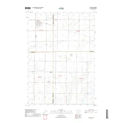 2017 Elkton2017 Print · USGSCovers Ward Township, including Elkton, Ward, and other nearby areas
 - 2017 Map of Flandreau NE, 2017 Print
 2017 Flandreau NE2017 Print · USGSCovers Ward Township, including Spring Creek Township, Elkton Township, and other nearby areas
 - 2019 Map of Elkton SW, 2019 Print
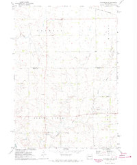
 2019 Elkton SW2019 Print · USGSCovers Ward Township, including Airlie, Cresson, and other nearby areas
 - 2021 Map of Elkton, 2021 Print
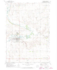
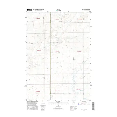
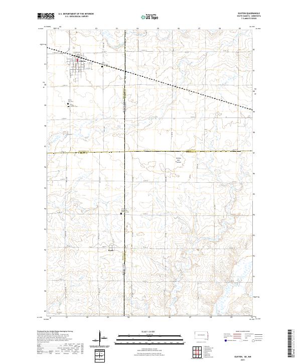 2021 Elkton2021 Print · USGSThe South Dakota and Minnesota border comes alive in this survey of the high plateau region. Genealogists and local historians can trace the foundations of Elkton and Ward while locating historic burial sites like Saint Marys Cem and Trinity Lutheran Cem.
 - 2021 Map of Flandreau, 2021 Print
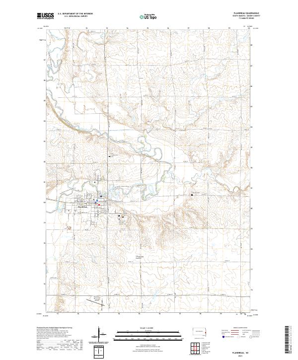 2021 Flandreau2021 Print · USGSFlandreau and the Big Sioux River valley are shown in detail during the early 2020s. Researchers can locate numerous family burial sites such as Union Cem and Clay Hill Cem, or trace the path of the Jay Heath Canoe & Kayak Trl.
 - 2021 Map of Flandreau NE, 2021 Print
 2021 Flandreau NE2021 Print · USGSThe borderlands of Brookings and Moody counties are shown here at the start of the 2020s, defined by the distinct geography of the Coteau des Prairies. Researchers can trace rural property boundaries and drainage patterns along Spring Cr or follow local transit routes like Co Hwy B.
 - 2022 Map of Elkton SW, 2022 Print
 2022 Elkton SW2022 Print · USGSThe Minnesota and South Dakota border comes into focus in this recent survey of the Pipestone County farm country. Researchers can trace the rural layouts of Pleasant Valley Colony, Cresson, and Airlie along the high ground of the Coteau des Prairies.
End of results
Showing maps 1-25 of 25
Top cities near Ward Township
- Pipestone historical maps
- Flandreau historical maps
- Lake Benton historical maps
- Elkton historical maps
- Aurora historical maps
- Egan historical maps
See more
Top neighborhoods of Ward Township
Frequently asked questions
- What are the different types of historical maps available for Ward Township?
- What is the oldest map of Ward Township?
- Where can I purchase historical maps of Ward Township for my home or office?
- Where can I download high-res historical maps of Ward Township?
- Are there historical topographic maps available for Ward Township?
- Is there historical aerial imagery available for Ward Township?
- Where are historical maps of Ward Township sourced from?