
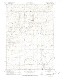
1967 Map of Elkton SW
USGS Topo · Published 1968About this map
The South Dakota Minnesota state line bisects this agricultural landscape, where the prairie of Moody and Pipestone Counties is defined by a dense grid of township roads and section lines. The rural character of the mid-1960s is preserved here, showing the scattered farmsteads across Union, Troy, and Lone Rock townships. Two major rail corridors cross the region, with the Chicago Milwaukee St Paul and Pacific passing through the small settlement of Airlie and the Chicago Rock Island and Pacific running further north near Cresson.
Find a feature on this map
18 named features on this map. Tap any name to fly to it.
Don’t see what you’re looking for? This feature index may not catch every label — zoom into the map to look around manually.
Map Details
Editions of this 1967 Elkton SW Map
2 editions found
Other maps of this area

1953 · Watertown
USGS Topo · 1:250,000

1955 · Sioux Falls
USGS Topo · 1:250,000

1958 · Sioux Falls
USGS Topo · 1:250,000

1958 · Watertown
USGS Topo · 1:250,000

1967 · Pipestone North
USGS Topo · 1:24,000

1967 · Verdi
USGS Topo · 1:24,000

1967 · Pipestone South
USGS Topo · 1:24,000

1967 · Jasper NW
USGS Topo · 1:24,000

1967 · Elkton
USGS Topo · 1:24,000

1972 · Flandreau NE
USGS Topo · 1:24,000