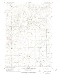
1967 Map of Elkton SW
USGS Topo · Published 1978About this map
The Moody Co Pipestone Co line bisects this agricultural landscape where the state border of South Dakota Minnesota meets the prairie. In the late 1960s, this region was defined by its railroad connectivity, featuring the Chicago Rock Island and Pacific winding through the northern sections and the Chicago Milwaukee St Paul and Pacific serving the south. Small rural hubs like Cresson and Airlie appear as vital points along these iron veins.
Find a feature on this map
16 named features on this map. Tap any name to fly to it.
Don’t see what you’re looking for? This feature index may not catch every label — zoom into the map to look around manually.
Map Details
Editions of this 1967 Elkton SW Map
2 editions found
Other maps of this area

1953 · Watertown
USGS Topo · 1:250,000

1955 · Sioux Falls
USGS Topo · 1:250,000

1958 · Sioux Falls
USGS Topo · 1:250,000

1958 · Watertown
USGS Topo · 1:250,000

1967 · Pipestone North
USGS Topo · 1:24,000

1967 · Elkton SW
USGS Topo · 1:24,000

1967 · Verdi
USGS Topo · 1:24,000

1967 · Pipestone South
USGS Topo · 1:24,000

1967 · Jasper NW
USGS Topo · 1:24,000

1967 · Elkton
USGS Topo · 1:24,000