Old Maps of Wakpamani, Pine Ridge for Hiking & Exploration
Hike through history with 7 historic maps of Wakpamani. Explore old trails, ghost towns, and forgotten backroads — perfect for outdoor adventurers and local explorers.
- Rediscover forgotten places: Map out old mining camps, roads, and footpaths that no longer exist on modern maps.
- Layer with modern tools: Combine with LiDAR or satellite views to plan hikes through historical terrain.
- Made for exploration: Popular among hikers, overlanders, and local history lovers.
Use these maps to find adventure and explore the hidden past of Wakpamani.
Wakpamani, Pine Ridge maps
(7)- 1955 Map of Hot Springs, 1958 Print
 1955 Hot Springs1958 Print · USGSThe Black Hills and South Dakota badlands are captured here in the mid-fifties, during a peak of military and industrial activity. Researchers can locate the Black Hills Ordnance Depot, early Uranium Mines, and historic rail stops like Pringle or Oglala.5 unique versions available
 - 1981 Map of Wakpamani
 1981 Wakpamani1981 Print · USGSThe Pine Ridge Indian Reservation landscape is captured in the early 1980s, centered on the Wakpamani community. Researchers can trace local landmarks like St Andrew Chapel and family-named sites such as Feather-on-Head Cem.2 unique versions available
 - 1985 Map of Pine Ridge
 1985 Pine Ridge1985 Print · USGSThe Pine Ridge Indian Reservation and the edge of the Badlands are detailed in this mid-eighties survey of the South Dakota-Nebraska border. Researchers can trace the drainages of Wounded Knee Creek and White River to locate landmarks like Red Dog Table and Wounded Knee.2 unique versions available
 - 2012 Map of Wakpamani, 2012 Print
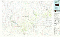
 2012 Wakpamani2012 Print · USGSCovers Wakpamani, including Pine Ridge, Oglala Lakota County, and other nearby areas
 - 2015 Map of Wakpamani, 2015 Print
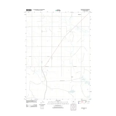
 2015 Wakpamani2015 Print · USGSCovers Wakpamani, including Pine Ridge, Oglala Lakota County, and other nearby areas
 - 2017 Map of Wakpamani, 2017 Print
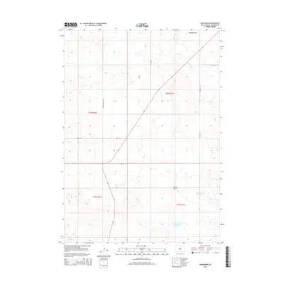
 2017 Wakpamani2017 Print · USGSCovers Wakpamani, including Pine Ridge, Oglala Lakota County, and other nearby areas
 - 2021 Map of Wakpamani, 2021 Print
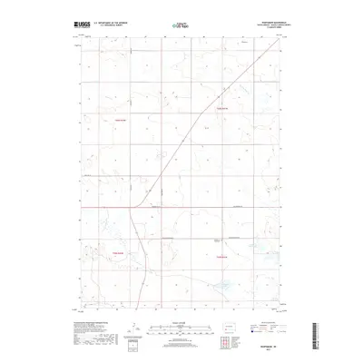
 2021 Wakpamani2021 Print · USGSThe Pine Ridge region in South Dakota comes into focus through its local road networks and tribal lands in this recent survey. Genealogists and historians can locate Feather on Head Cem and trace the shores of Wakpamani Lake and Feather on Head Lake.
End of results
Showing maps 1-7 of 7
Top cities near Wakpamani
Frequently asked questions
- What are the different types of historical maps available for Wakpamani?
- What is the oldest map of Wakpamani?
- Where can I purchase historical maps of Wakpamani for my home or office?
- Where can I download high-res historical maps of Wakpamani?
- Are there historical topographic maps available for Wakpamani?
- Is there historical aerial imagery available for Wakpamani?
- Where are historical maps of Wakpamani sourced from?