Old Maps of Imlay, South Dakota for Metal Detecting
Plan your next treasure hunt with 7 historic maps of Imlay. Find old homesites, ghost towns, trails, and gathering spots that may be lost to time — perfect for identifying promising metal detecting locations.
- Locate forgotten sites: Uncover places like long-lost settlements, abandoned rail lines, or gathering spots.
- Plan better hunts: Use map overlays combined with LiDAR or satellite views to narrow in on historically rich areas.
- Made for detectorists: Thousands of hobbyists use these maps to discover relics, coins, and hidden history.
Use these historic maps to boost your research and find new opportunities beneath the surface of Imlay.
Imlay, SD maps
(7)- 1950 Map of Imlay, 1952 Print
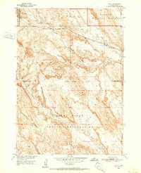 1950 Imlay1952 Print · USGSPennington County at the midpoint of the twentieth century shows a landscape divided by federal land designations and the steam-and-diesel era. Trace the path of the Chicago Milwaukee St Paul and Pacific through Imlay or the northern reaches of the Pine Ridge Indian Reservation.3 unique versions available
 - 1955 Map of Hot Springs, 1958 Print
 1955 Hot Springs1958 Print · USGSThe Black Hills and South Dakota badlands are captured here in the mid-fifties, during a peak of military and industrial activity. Researchers can locate the Black Hills Ordnance Depot, early Uranium Mines, and historic rail stops like Pringle or Oglala.5 unique versions available
 - 1981 Map of Wall
 1981 Wall1981 Print · USGSWestern South Dakota in the early eighties reveals a landscape of high tables and deep draws where the prairie meets the Badlands. Researchers can trace the path of the Chicago and North Western rail line and locate rural outposts like Scenic, Conata, and Interior.
 - 2012 Map of Imlay, 2012 Print
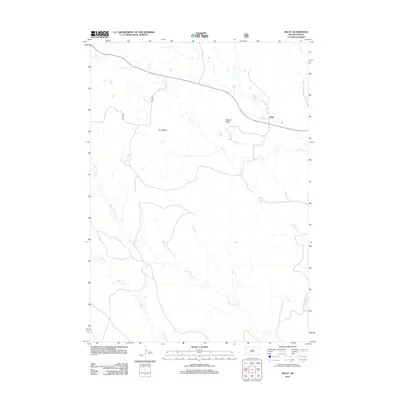 2012 Imlay2012 Print · USGSCovers Imlay, including Kyle, Porcupine, and other nearby areas
 - 2015 Map of Imlay, 2015 Print
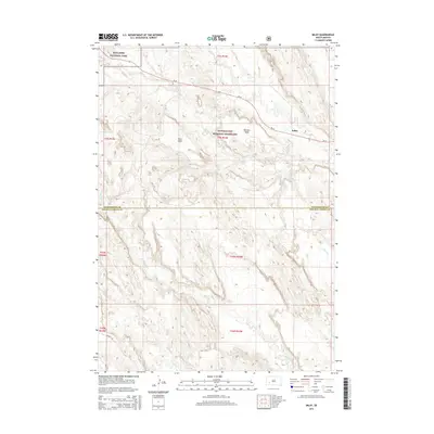 2015 Imlay2015 Print · USGSCovers Imlay, including Kyle, Porcupine, and other nearby areas
 - 2017 Map of Imlay, 2017 Print
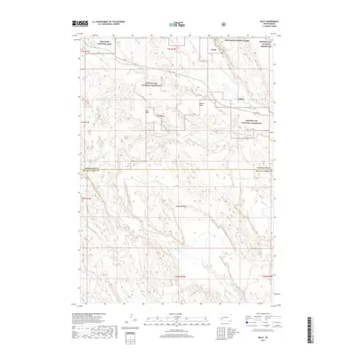 2017 Imlay2017 Print · USGSCovers Imlay, including Kyle, Porcupine, and other nearby areas
 - 2021 Map of Imlay, 2021 Print
 2021 Imlay2021 Print · USGSPennington County's high plains and badlands are shown here in the early twenty-first century. Researchers can trace the plateau boundaries of Keester Table and Hunt Table or locate the remote settlement of Imlay near Cain Cr.
End of results
Showing maps 1-7 of 7
Top cities near Imlay
Frequently asked questions
- What are the different types of historical maps available for Imlay?
- What is the oldest map of Imlay?
- Where can I purchase historical maps of Imlay for my home or office?
- Where can I download high-res historical maps of Imlay?
- Are there historical topographic maps available for Imlay?
- Is there historical aerial imagery available for Imlay?
- Where are historical maps of Imlay sourced from?