Old Maps of New Underwood, South Dakota for Metal Detecting
Plan your next treasure hunt with 8 historic maps of New Underwood. Find old homesites, ghost towns, trails, and gathering spots that may be lost to time — perfect for identifying promising metal detecting locations.
- Locate forgotten sites: Uncover places like long-lost settlements, abandoned rail lines, or gathering spots.
- Plan better hunts: Use map overlays combined with LiDAR or satellite views to narrow in on historically rich areas.
- Made for detectorists: Thousands of hobbyists use these maps to discover relics, coins, and hidden history.
Use these historic maps to boost your research and find new opportunities beneath the surface of New Underwood.
New Underwood, SD maps
(8)- 1953 Map of New Underwood, 1955 Print
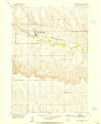 1953 New Underwood1955 Print · USGSPennington County ranching and rail life come into focus during the early fifties, centered on the community of New Underwood. Genealogists and historians can trace the Chicago and North Western line or locate the Arney Sch and Moulton Sch.2 unique versions available
 - 1953 Map of Rapid City, 1964 Print
 1953 Rapid City1964 Print · USGSWestern South Dakota's transition from the Black Hills to the open prairie is captured here during the mid-fifties. Researchers can trace the development of Ellsworth Air Force Base alongside historic landmarks like Bear Butte and the Lower Alkali School.3 unique versions available
 - 1957 Map of Rapid City
 1957 Rapid City1957 Print · USGSWestern South Dakota in the mid-fifties reveals a landscape of high-altitude forests and growing military installations. Researchers can trace the development of Ellsworth Air Force Base, locate the Theodore Roosevelt Monument, and find rural landmarks like Lower Alkali School.
 - 1984 Map of New Underwood
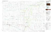 1984 New Underwood1984 Print · USGSPennington and Meade counties in the mid-1980s show a landscape of river-fed agriculture and prairie management. Genealogists and historians can trace rail and road development through New Underwood and Wasta or locate features like Elm Springs and Hubbard Hill.2 unique versions available
 - 2012 Map of New Underwood, 2012 Print
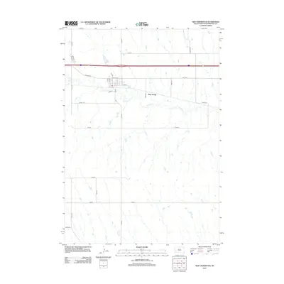 2012 New Underwood2012 Print · USGSCovers New Underwood, including Mawl Springs, Pennington County, and other nearby areas
 - 2015 Map of New Underwood, 2015 Print
 2015 New Underwood2015 Print · USGSCovers New Underwood, including Mawl Springs, Pennington County, and other nearby areas
 - 2017 Map of New Underwood, 2017 Print
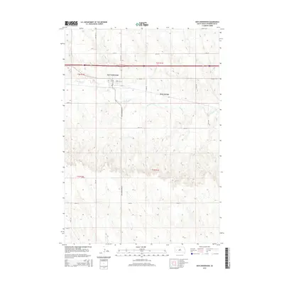
 2017 New Underwood2017 Print · USGSCovers New Underwood, including Mawl Springs, Pennington County, and other nearby areas
 - 2021 Map of New Underwood, 2021 Print
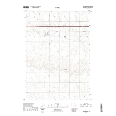
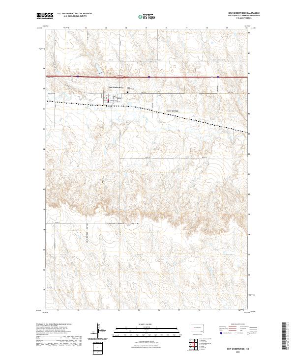 2021 New Underwood2021 Print · USGSPennington County at the start of the 2020s shows the enduring layout of prairie settlements and ranch lands. Genealogists and local historians can trace the town grid of New Underwood, find the New Underwood Cem, and follow the historic Black And Yellow Trail Rd.
End of results
Showing maps 1-8 of 8
Top cities near New Underwood
Frequently asked questions
- What are the different types of historical maps available for New Underwood?
- What is the oldest map of New Underwood?
- Where can I purchase historical maps of New Underwood for my home or office?
- Where can I download high-res historical maps of New Underwood?
- Are there historical topographic maps available for New Underwood?
- Is there historical aerial imagery available for New Underwood?
- Where are historical maps of New Underwood sourced from?