Old Maps of Chance, South Dakota for Genealogy
Trace your family roots with 8 historic maps of Chance. These high-res maps reveal old neighborhoods, homesites, landmarks, and streets — helping you uncover where your ancestors lived and how the area evolved over time.
- Explore historic neighborhoods: Identify where your relatives may have lived in the 1800s or 1900s.
- Compare maps over time: Trace the changes in streets, buildings, and landmarks for multi-generational research.
- Perfect for genealogy & ancestry research: Used by family historians and researchers to map out lineage and migration.
These maps are an incredible resource for exploring your personal connection to Chance's past.
Chance, SD maps
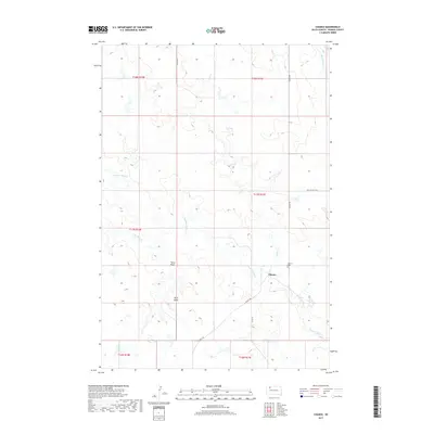
(8)- 1954 Map of Lemmon, 1964 Print
 1954 Lemmon1964 Print · USGSThe high plains of South Dakota and North Dakota are documented here during the mid-twentieth century. Family researchers can trace dozens of country school sites like Green Cabin School and Bierke School alongside landmarks like The Castles.2 unique versions available
 - 1957 Map of Lemmon
 1957 Lemmon1957 Print · USGSThe northwestern plains of South Dakota and North Dakota are captured here in the mid-fifties, centered on the rail hub of Lemmon. Genealogists and historians can trace dozens of rural schoolhouses and vanished sites like Imogene and the Shadehill Reservoir area.
 - 1983 Map of Chance, 1984 Print
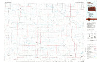
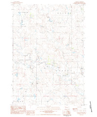 1983 Chance1984 Print · USGSPerkins County in the early eighties was a landscape of remote community hubs and striking prairie landmarks. Genealogists and historians can locate the Chance settlement, its Chance Cem, and regional features like Thunder Butte or the Veal Landing Strip.
 - 1984 Map of Faith
 1984 Faith1984 Print · USGSWestern South Dakota's open plains and river breaks appear here in the mid-1980s, centered on the ranching country around Faith. Researchers can trace remote settlements and essential water infrastructure like Sorum, Bixby Gaging Station, and Mourine Lake.3 unique versions available
 - 2012 Map of Chance, 2012 Print
 2012 Chance2012 Print · USGSCovers Chance, including Perkins County, United States, and other nearby areas
 - 2015 Map of Chance, 2015 Print
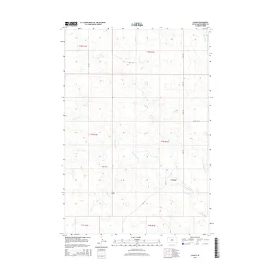 2015 Chance2015 Print · USGSCovers Chance, including Perkins County, United States, and other nearby areas
 - 2017 Map of Chance, 2017 Print
 2017 Chance2017 Print · USGSCovers Chance, including Perkins County, United States, and other nearby areas
 - 2021 Map of Chance, 2021 Print
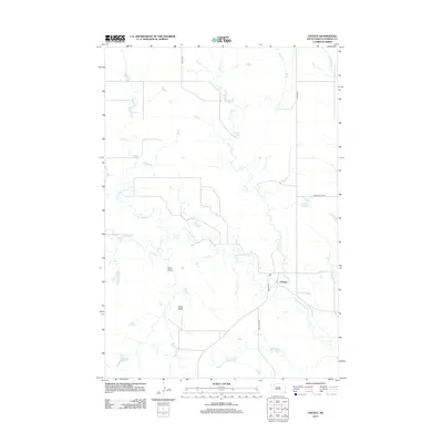
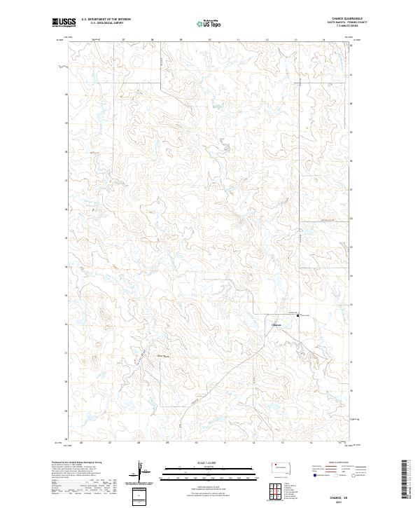 2021 Chance2021 Print · USGSPerkins County's rural landscape is captured here in the early 2020s, centered on the historic crossroads of Chance. Genealogists and local historians can locate the Chance Cem and trace the winding paths of Thunder Butte Cr and Hart Cr.
End of results
Showing maps 1-8 of 8
Top cities near Chance
Frequently asked questions
- What are the different types of historical maps available for Chance?
- What is the oldest map of Chance?
- Where can I purchase historical maps of Chance for my home or office?
- Where can I download high-res historical maps of Chance?
- Are there historical topographic maps available for Chance?
- Is there historical aerial imagery available for Chance?
- Where are historical maps of Chance sourced from?