2020s Maps of Sanborn County, South Dakota
Explore 20 historic maps of Sanborn County from the 2020s. These maps offer a rare glimpse into what life looked like during the 2020s — showing old roads, neighborhoods, homes, and landmarks that have changed or disappeared over time.
Whether you're researching your family's past, planning a metal detecting trip, or studying how Sanborn County's landscape evolved across the 2020s, these high-resolution maps are a powerful tool for exploring the history of this region.
- Focus on a specific era: All maps on this page are from the 2020s, giving you a focused view of this time period.
- See what’s changed: Compare century-old streets, trails, and buildings to today's modern landscape using overlays and satellite layers.
- Research with precision: Use these maps for genealogy, historical research, land use analysis, or educational projects.
- View, download, or print: Maps are fully viewable online in high resolution, and can be downloaded or printed for your own records.
Start exploring Sanborn County's history through authentic maps from the 2020s. This is your window into the past.
Sanborn County, SD maps
(20)- 2021 Map of Morris Lake, 2021 Print
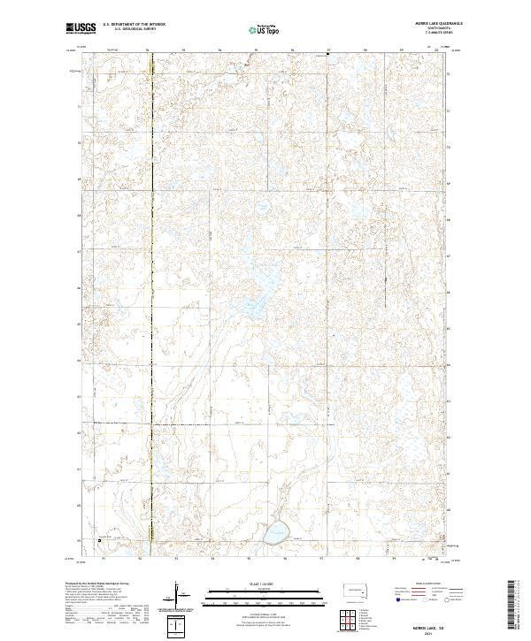 2021 Morris Lake2021 Print · USGSMiner and Sanborn counties are captured here in the early twenty-first century, showing a prairie landscape shaped by seasonal waters and section-line roads. Genealogists and local historians can locate Fedora Cem and Farwell Cem or trace the drainage of Jim Cr and Morris Lake.
 - 2021 Map of Farwell NW, 2021 Print
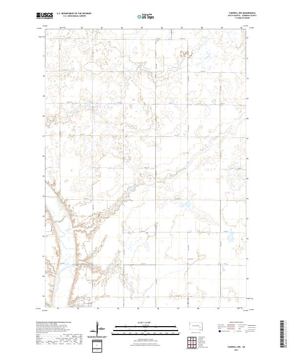 2021 Farwell NW2021 Print · USGSSanborn County at the start of the 2020s shows a deeply organized agricultural landscape shaped by the James River and Jim Cr. Researchers can trace the modern rural grid along Ruml Rd and Co Hwy 35 to identify specific land parcels and drainage patterns.
 - 2021 Map of Ness Chain Lakes, 2021 Print
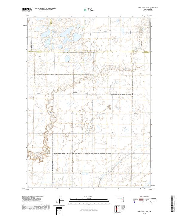 2021 Ness Chain Lakes2021 Print · USGSHanson and Sanborn counties are captured here in the early twenty-first century, showing a landscape defined by prairie potholes and glacial drainage. Genealogists and researchers can locate Redstone Cem and trace the complex shorelines of Ness Chain Lake and Stone House Lake.
 - 2021 Map of Farwell, 2021 Print
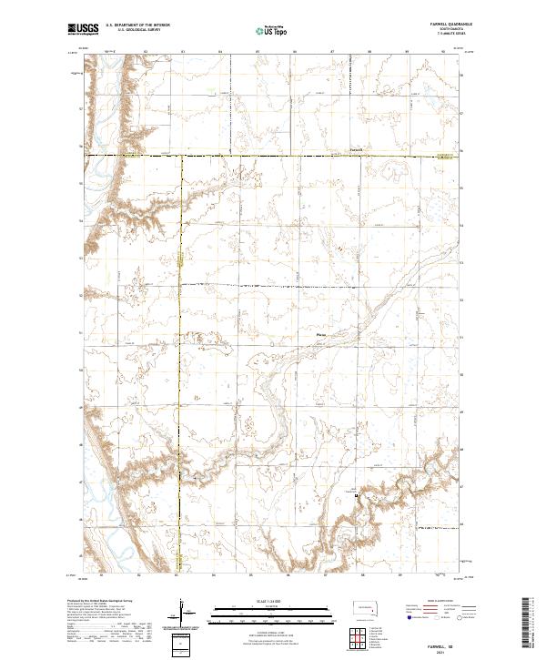 2021 Farwell2021 Print · USGSThis rural South Dakota landscape at the meeting of Sanborn, Davison, and Hanson Counties shows the agricultural heart of the region. Researchers can trace local history through the sites of Farwell, Plano, and the Rock Creek Cem along the James River.
 - 2021 Map of Letcher, 2021 Print
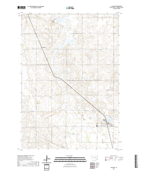 2021 Letcher2021 Print · USGSLetcher and the surrounding Sanborn County plains are captured here in the early twenty-first century. Genealogists and local historians can trace the town’s layout and find local landmarks such as West Lawn Cem and the small settlement of Cuthbert.
 - 2021 Map of Letcher SW, 2021 Print
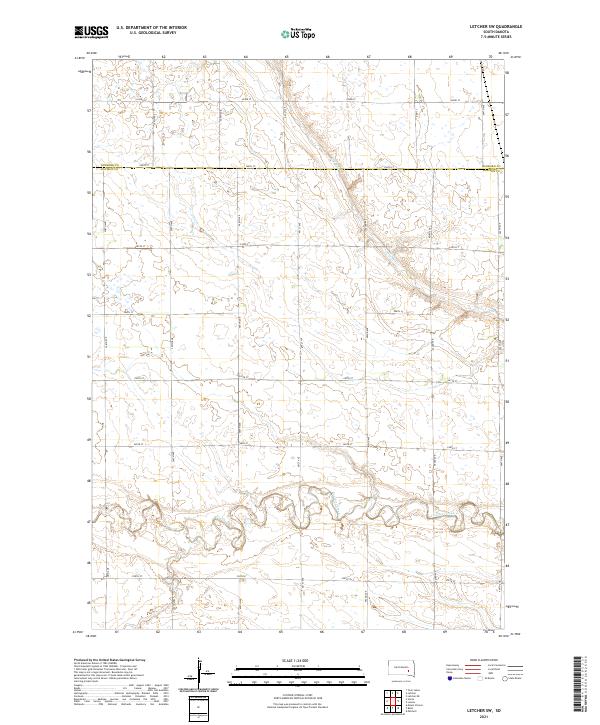 2021 Letcher SW2021 Print · USGSThe rural prairie of Davison and Sanborn counties is captured here in the early twenty-first century, showing the intersection of natural waterways and human engineering. Genealogists and researchers can trace the course of Firesteel Creek and navigate the grid of section-line roads like Co Rd 3 and 401st Ave.
 - 2021 Map of Loomis, 2021 Print
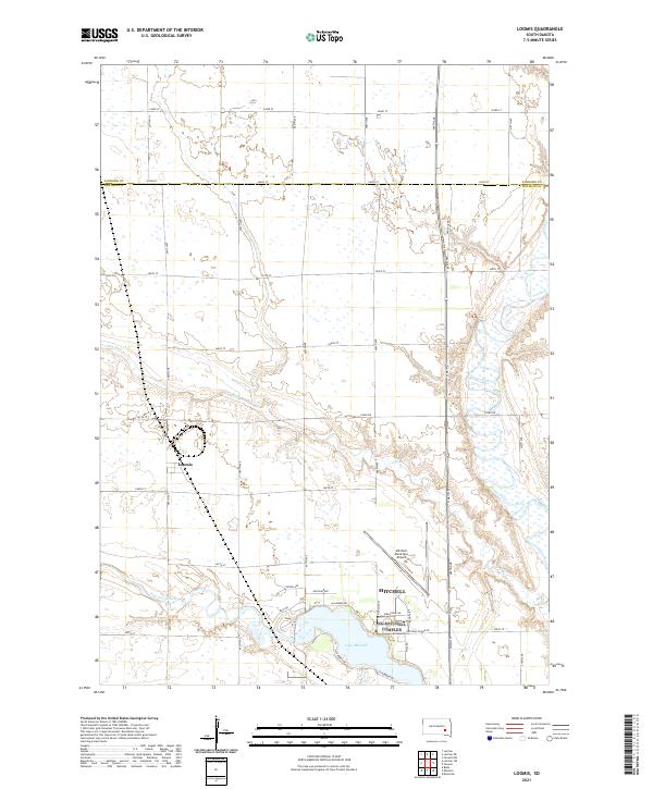 2021 Loomis2021 Print · USGSThe rural expanse north of Mitchell is captured here in the early 2020s, showing the settled prairie at the Davison and Sanborn county line. Local historians can trace the paths of Dry Run and Firesteel Creek as they approach Lake Mitchell and the small town of Loomis.
 - 2021 Map of Storla, 2021 Print
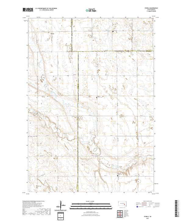 2021 Storla2021 Print · USGSAurora County's agricultural heartland is documented here in the early 2020s, showcasing the rural intersections where three counties meet. Genealogists can locate several family landmarks including Victor Lutheran Cem, Trinity Cem, and the settlement of Storla.
 - 2021 Map of Letcher NE, 2021 Print
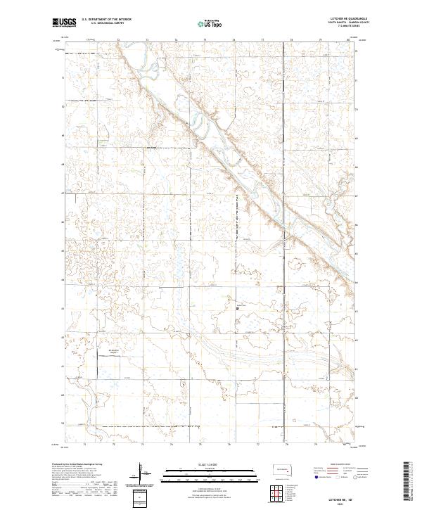 2021 Letcher NE2021 Print · USGSSanborn County is depicted in the early twenty-first century as a landscape of structured section lines and prairie waterways. Researchers can locate the Butler Cem or trace the winding path of the James River and Jim Cr across the plains.
 - 2021 Map of Twin Lakes, 2021 Print
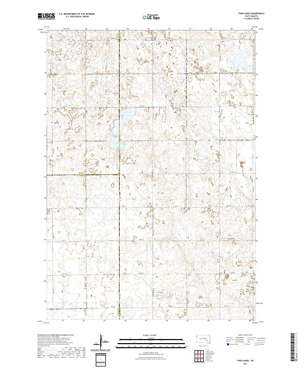 2021 Twin Lakes2021 Print · USGSThe prairie landscape at the junction of Sanborn, Jerauld, and Aurora counties is meticulously documented in this recent survey. Local historians can trace the hydrology of Twin Lakes and Grass Lake alongside rural routes like Co Rd 7.
 - 2021 Map of Artesian NW, 2021 Print
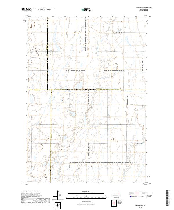
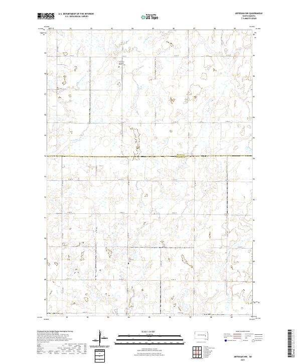 2021 Artesian NW2021 Print · USGSThe border of Beadle and Sanborn counties comes into focus in this recent survey of the South Dakota prairie. Genealogists and local historians can pinpoint long-standing community sites such as Immanuel Lutheran Church Cem and Saint Anthony's Cem.
 - 2021 Map of Artesian, 2021 Print
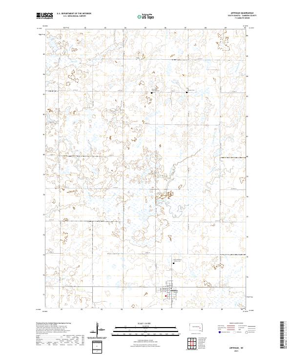 2021 Artesian2021 Print · USGSArtesian and the surrounding Sanborn County prairie are captured in this modern survey, showing the town's street grid and the rural landscape. Researchers can locate family heritage sites like Saint Anthony's Catholic Cem or trace the winding course of West Redstone Creek.
 - 2021 Map of Woonsocket, 2021 Print
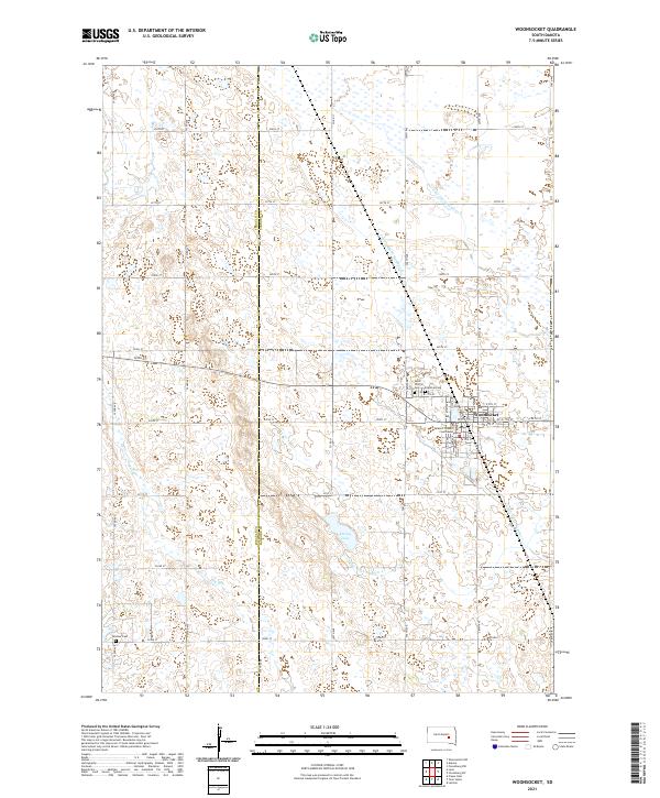 2021 Woonsocket2021 Print · USGSThe town of Woonsocket and its surrounding agricultural plains are meticulously documented in this recent survey. Researchers can trace local history through the Sanborn County Courthouse and burial sites like Saint Wilfrid Cem and Feistner Cem.
 - 2021 Map of Forestburg NW, 2021 Print
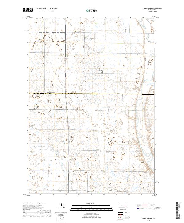 2021 Forestburg NW2021 Print · USGSSanborn and Beadle Counties appear in this contemporary survey of the eastern South Dakota prairie. Researchers can locate the Aquilla Cem and trace the meandering courses of the James River and Sand Cr through the agricultural grid.
 - 2021 Map of Forestburg SW, 2021 Print
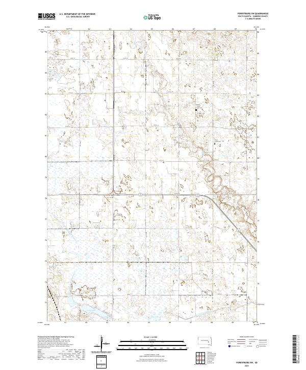 2021 Forestburg SW2021 Print · USGSSanborn County is captured in the early 2020s as a landscape of structured prairie and critical water management. Genealogists and local historians can locate the Bethany - Silver Creek Cem and trace the paths of Sand Cr and Long Lake.
 - 2021 Map of Fedora, 2021 Print
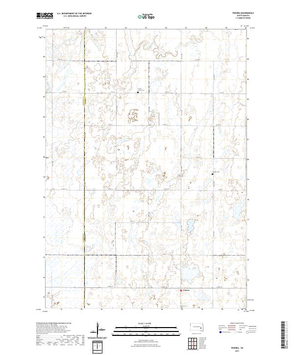 2021 Fedora2021 Print · USGSThe rural community of Fedora and the surrounding prairie lands of Miner and Sanborn counties are captured here in the early twenty-first century. Researchers can trace family roots through several local landmarks, including Prairie Flower Cem, Morgans Cem, and the winding path of Redstone Cr.
 - 2021 Map of Forestburg NE, 2021 Print
 2021 Forestburg NE2021 Print · USGSSanborn and Beadle counties are mapped in the early 2020s, showing a traditional prairie landscape carved by the James River. Genealogists and local historians can locate the Bonny Cemetery and trace watercourses like Marsh Creek and Stony Run.
 - 2021 Map of Artesian NE, 2021 Print
 2021 Artesian NE2021 Print · USGSThe eastern South Dakota prairie comes into focus at the meeting of four counties during the early twenty-first century. Genealogists and historians can trace family land across township grids and watercourses like Redstone Cr and W Redstone Cr.
 - 2021 Map of Forestburg, 2021 Print
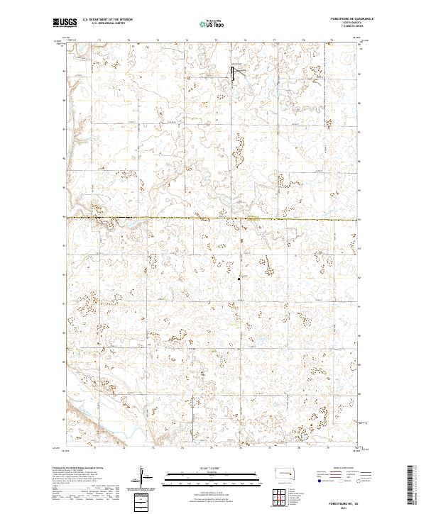
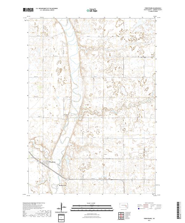 2021 Forestburg2021 Print · USGSSanborn County's rural heartland is depicted here in the early twenty-first century, centered on the river valley and its surrounding townships. Genealogists and local historians can trace family land near Forestburg, the riverside area of Ruskin Park, and the landmark of Big Mound.
 - 2021 Map of Alpena, 2021 Print
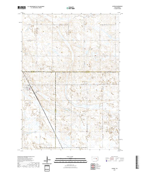 2021 Alpena2021 Print · USGSAlpena and the surrounding prairie lands are captured here at the start of the 2020s, where three counties meet in a landscape of section-line roads and seasonal wetlands. Genealogists can locate the Rest Haven - Alpena Cem and trace the town's layout along Railroad Ave and Main St.
End of results
Showing maps 1-20 of 20
Frequently asked questions
- What are the different types of historical maps available for Sanborn County?
- What is the oldest map of Sanborn County?
- Where can I purchase historical maps of Sanborn County for my home or office?
- Where can I download high-res historical maps of Sanborn County?
- Are there historical topographic maps available for Sanborn County?
- Is there historical aerial imagery available for Sanborn County?
- Where are historical maps of Sanborn County sourced from?