Old Maps of Jackson Township, South Dakota
Explore 24 old maps of Jackson Township, spanning from 1898 to today. These high-resolution historic maps reveal how streets, neighborhoods, landmarks, and natural features evolved over time — perfect for genealogy, metal detecting, research, and local history exploration.
What you can do with these maps:
- See how Jackson Township changed over time: Compare historical maps to modern-day views to trace roads, homesites, rail lines & more.
- View detailed metadata: Each map includes creators, publishers, year, scale, and archive source.
- Overlay maps with satellite & LiDAR: Visualize the past alongside modern tools to explore terrain & human change.
- Trusted historical sources: Maps sourced from the USGS, Library of Congress, and other archives.
- Access maps your way: View online, download high-res files, or order prints for personal or research use.
Start exploring old maps of Jackson Township to uncover forgotten places, hidden landmarks, and the deep history beneath your feet.
Jackson Township, SD maps
(24)- 1898 Map of Huron
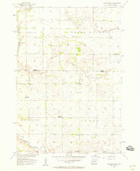
 1898 Huron1898 Print · USGSCentral South Dakota thrived as a rail and river hub in the 1890s. Genealogists and historians can trace early townships and rail junctions like Huron, Woonsocket, and the crossings of the James River.2 unique versions available
 - 1953 Map of Huron, 1959 Print
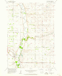
 1953 Huron1959 Print · USGSCentral South Dakota comes alive in the mid-1950s as a thriving rail and agricultural corridor between the Missouri and James Rivers. Trace the legacy of family farms and prairie towns like Huron, Faulkton, and Wessington Springs along the historic Chicago and North Western rail lines.3 unique versions available
 - 1954 Map of Huron, 1977 Print
 1954 Huron1977 Print · USGSCentral South Dakota was a landscape of grain elevators and river bends during the mid-fifties. Genealogists and historians can trace the development of the James River valley through railroad towns like Redfield and the sprawling Crow Creek Indian Reservation.
 - 1957 Map of Forestburg NE, 1958 Print
 1957 Forestburg NE1958 Print · USGSThe James River valley in the late fifties reveals a dense network of rural school districts and township landmarks. Researchers can locate the Pearl Ch, Bonny Cem, and several school sites including the Flagel Sch and Maurer Sch.
 - 1957 Map of Forestburg, 1958 Print
 1957 Forestburg1958 Print · USGSSanborn County at the end of the fifties reveals a landscape shaped by the winding river and the railroad. Genealogists can trace family lands across Oneida and Logan townships or locate old sites like Rubert Sch and Ruskin Park.
 - 1958 Map of Forestburg NW, 1959 Print
 1958 Forestburg NW1959 Print · USGSSanborn County and Beadle County farm country is mapped here in the late fifties as the James River valley supported a robust network of rural schools. Genealogists can trace family land proximity to Bethlehem Ch, Christensen Sch, or McDonald Sch.2 unique versions available
 - 1973 Map of Forestburg SW, 1976 Print
 1973 Forestburg SW1976 Print · USGSSanborn County's rural townships are documented here in the early 1970s, showcasing a landscape of drainage ditches and prairie water sources. Researchers can trace the Old Railroad Grade and locate local landmarks like the Silver Creek Cem and the Townhall.
 - 1985 Map of Huron, 1986 Print
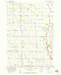
 1985 Huron1986 Print · USGSThe James River valley and the city of Huron come into focus during the mid-eighties as centers of rail and prairie commerce. Genealogists and historians can trace communal sites like Riverside Colony and established rail towns from Wolsey to Woonsocket.2 unique versions available
 - 2012 Map of Forestburg NW, 2012 Print
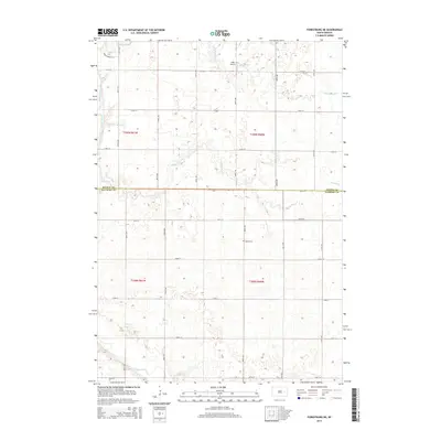
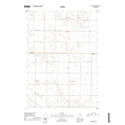
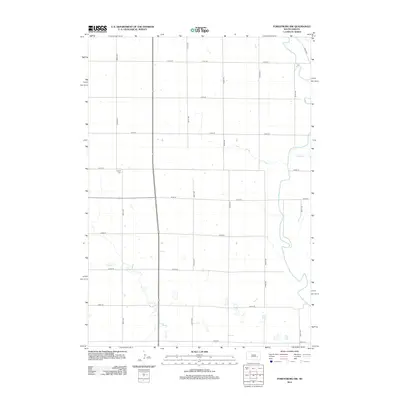 2012 Forestburg NW2012 Print · USGSCovers Jackson Township, including Warren Township, Beadle County, and other nearby areas
 - 2012 Map of Forestburg SW, 2012 Print
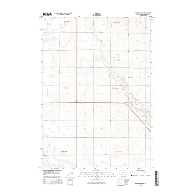
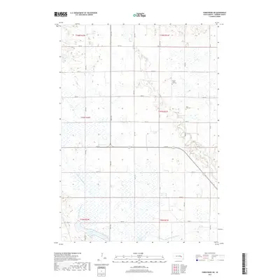
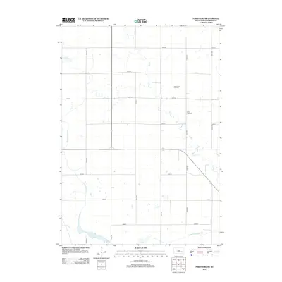 2012 Forestburg SW2012 Print · USGSCovers Jackson Township, including Warren Township, Twin Lake Township, and other nearby areas
 - 2012 Map of Forestburg, 2012 Print
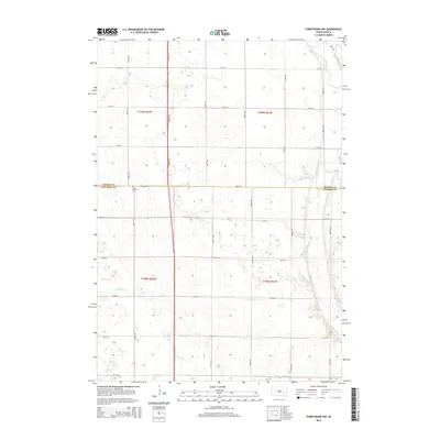
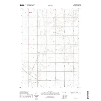
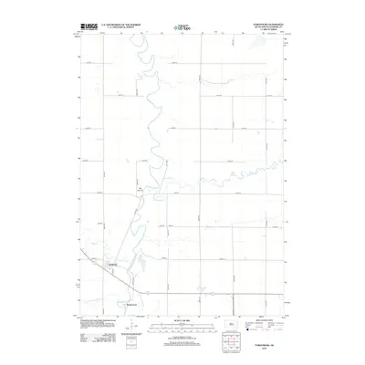 2012 Forestburg2012 Print · USGSCovers Jackson Township, including Floyd Township, Union Township, and other nearby areas
 - 2012 Map of Forestburg NE, 2012 Print
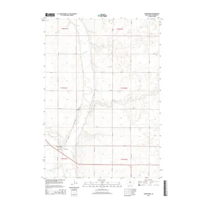
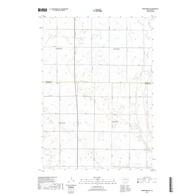
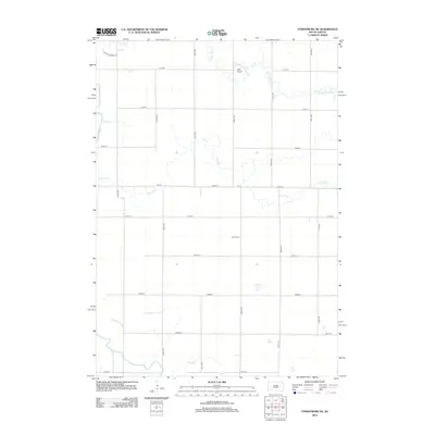 2012 Forestburg NE2012 Print · USGSCovers Jackson Township, including Floyd Township, Beadle County, and other nearby areas
 - 2015 Map of Forestburg NE, 2015 Print
 2015 Forestburg NE2015 Print · USGSCovers Jackson Township, including Floyd Township, Beadle County, and other nearby areas
 - 2015 Map of Forestburg SW, 2015 Print
 2015 Forestburg SW2015 Print · USGSCovers Jackson Township, including Warren Township, Twin Lake Township, and other nearby areas
 - 2015 Map of Forestburg NW, 2015 Print
 2015 Forestburg NW2015 Print · USGSCovers Jackson Township, including Warren Township, Beadle County, and other nearby areas
 - 2015 Map of Forestburg, 2015 Print
 2015 Forestburg2015 Print · USGSCovers Jackson Township, including Floyd Township, Union Township, and other nearby areas
 - 2017 Map of Forestburg, 2017 Print
 2017 Forestburg2017 Print · USGSCovers Jackson Township, including Floyd Township, Union Township, and other nearby areas
 - 2017 Map of Forestburg SW, 2017 Print
 2017 Forestburg SW2017 Print · USGSCovers Jackson Township, including Warren Township, Twin Lake Township, and other nearby areas
 - 2017 Map of Forestburg NE, 2017 Print
 2017 Forestburg NE2017 Print · USGSCovers Jackson Township, including Floyd Township, Beadle County, and other nearby areas
 - 2017 Map of Forestburg NW, 2017 Print
 2017 Forestburg NW2017 Print · USGSCovers Jackson Township, including Warren Township, Beadle County, and other nearby areas
 - 2021 Map of Forestburg NW, 2021 Print
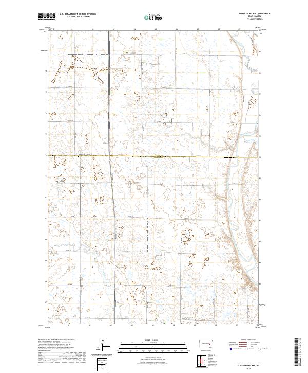 2021 Forestburg NW2021 Print · USGSSanborn and Beadle Counties appear in this contemporary survey of the eastern South Dakota prairie. Researchers can locate the Aquilla Cem and trace the meandering courses of the James River and Sand Cr through the agricultural grid.
 - 2021 Map of Forestburg SW, 2021 Print
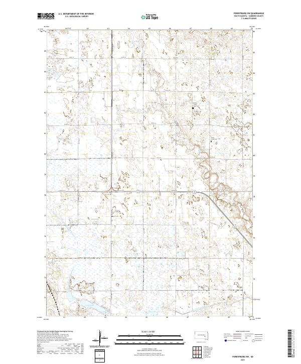 2021 Forestburg SW2021 Print · USGSSanborn County is captured in the early 2020s as a landscape of structured prairie and critical water management. Genealogists and local historians can locate the Bethany - Silver Creek Cem and trace the paths of Sand Cr and Long Lake.
 - 2021 Map of Forestburg NE, 2021 Print
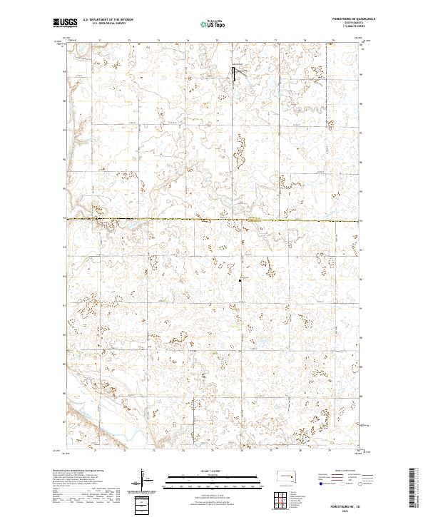 2021 Forestburg NE2021 Print · USGSSanborn and Beadle counties are mapped in the early 2020s, showing a traditional prairie landscape carved by the James River. Genealogists and local historians can locate the Bonny Cemetery and trace watercourses like Marsh Creek and Stony Run.
 - 2021 Map of Forestburg, 2021 Print
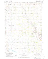
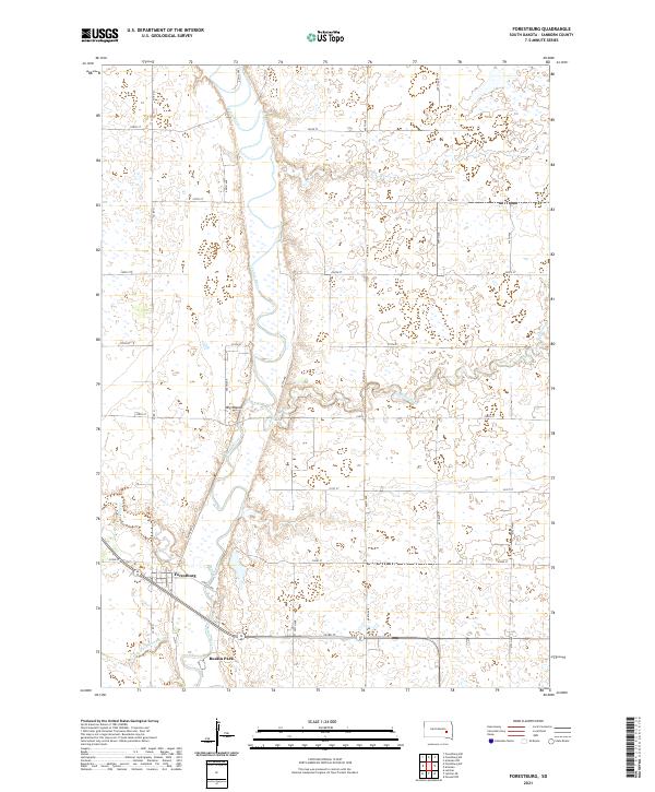 2021 Forestburg2021 Print · USGSSanborn County's rural heartland is depicted here in the early twenty-first century, centered on the river valley and its surrounding townships. Genealogists and local historians can trace family land near Forestburg, the riverside area of Ruskin Park, and the landmark of Big Mound.
End of results
Showing maps 1-24 of 24
Top cities near Jackson Township
- Huron historical maps
- Woonsocket historical maps
- Alpena historical maps
- Artesian historical maps
- Cavour historical maps
Frequently asked questions
- What are the different types of historical maps available for Jackson Township?
- What is the oldest map of Jackson Township?
- Where can I purchase historical maps of Jackson Township for my home or office?
- Where can I download high-res historical maps of Jackson Township?
- Are there historical topographic maps available for Jackson Township?
- Is there historical aerial imagery available for Jackson Township?
- Where are historical maps of Jackson Township sourced from?