
1958 Map of Forestburg NW
USGS Topo · Published 1959About this map
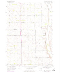
The James River snakes along the eastern edge of this prairie landscape, defining the boundary between Beadle and Sanborn counties during the late 1950s. This region is characterized by a dense network of rural infrastructure supporting agricultural life, with numerous family-named landmarks and local institutions distributed across the townships of Grant, Clifton, Warren, and Jackson. The presence of several distinct schoolhouses, including Christensen Sch, Hegg Sch, and McDonald Sch, points to a time when decentralized education was still a cornerstone of the rural South Dakota community.
Find a feature on this map
15 named features on this map. Tap any name to fly to it.
Don’t see what you’re looking for? This feature index may not catch every label — zoom into the map to look around manually.
Map Details
Editions of this 1958 Forestburg NW Map
2 editions found
Other maps of this area

1898 · Huron
USGS Topo · 1:125,000

1953 · Huron
USGS Topo · 1:250,000

1954 · Huron
USGS Topo · 1:250,000

1957 · Forestburg NE
USGS Topo · 1:24,000
1957 · Forestburg
USGS Topo · 1:24,000

1957 · Cavour
USGS Topo · 1:24,000

1957 · Huron
USGS Topo · 1:24,000

1973 · Alpena
USGS Topo · 1:24,000
1973 · Forestburg SW
USGS Topo · 1:24,000
1973 · Woonsocket
USGS Topo · 1:24,000