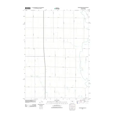
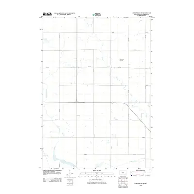
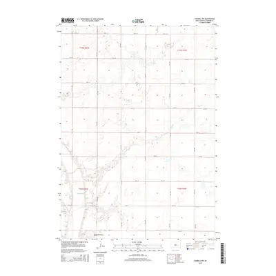
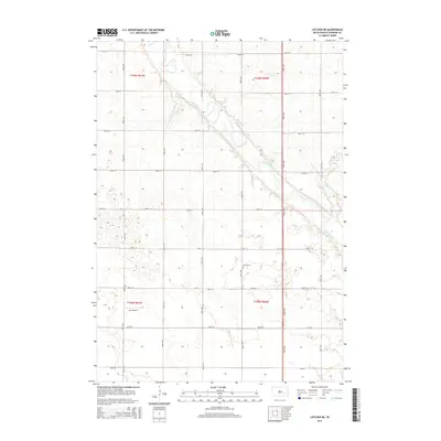
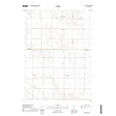
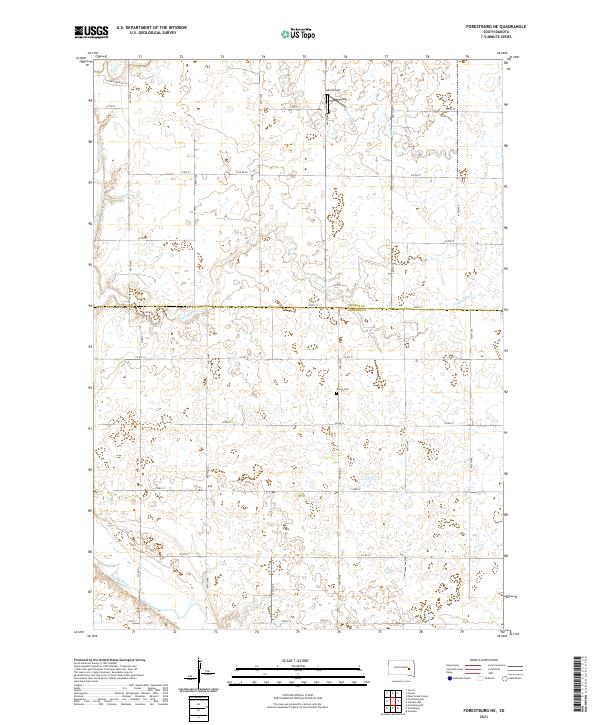
1958 Map of Forestburg NW
USGS Topo · Published 1977About this map
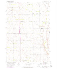
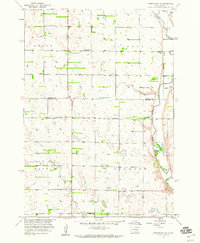
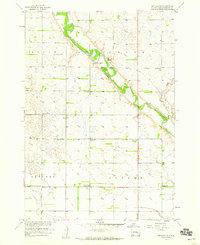
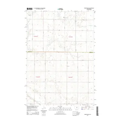
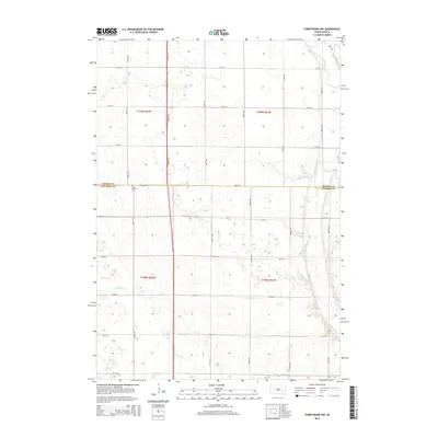
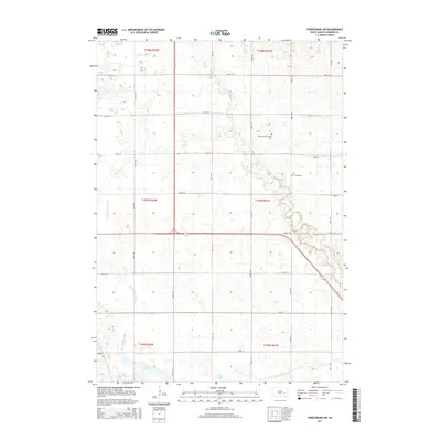
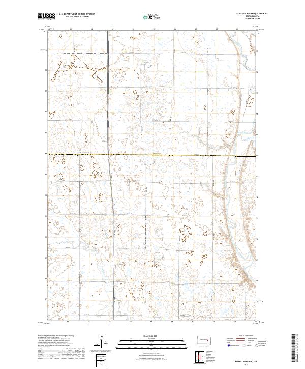
The James River meanders through the eastern portion of this South Dakota landscape, defining the boundary between the townships of Clifton and Jackson. This 1950s survey, updated in the 1970s, reveals a rural grid defined by section lines and small community centers. Local education is anchored by several rural schoolhouses, including Christensen Sch, Hegg Sch, and McDonald Sch, which served the surrounding farmsteads. The presence of Bethlehem Ch near the river indicates a center for social and spiritual life for the residents of these prairies. Smaller waterways like Pearl Creek, Stony Run, and Sand Creek cut through the terrain, illustrating the natural drainage patterns of Beadle and Sanborn counties. The map also captures local industry through the identification of a Gravel Pit, providing a grounded view of the region's mid-century rural infrastructure.
Find a feature on this map
15 named features on this map. Tap any name to fly to it.
Don’t see what you’re looking for? This feature index may not catch every label — zoom into the map to look around manually.
Map Details
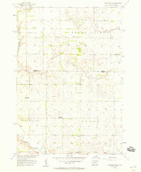
Editions of this 1958 Forestburg NW Map
2 editions found
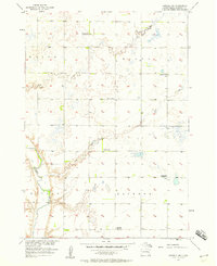
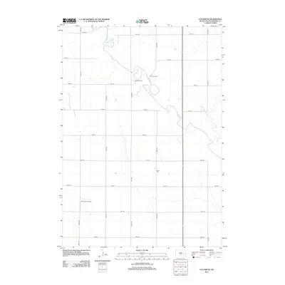
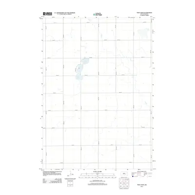
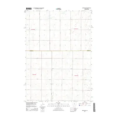
Historical Maps of Jackson Township Through Time
35 maps found
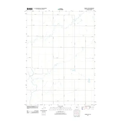
1957 Farwell NW
Sanborn County, SD
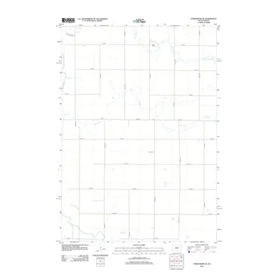
1957 Forestburg NE
Sanborn County, SD
1957 Letcher NE
Sanborn County, SD
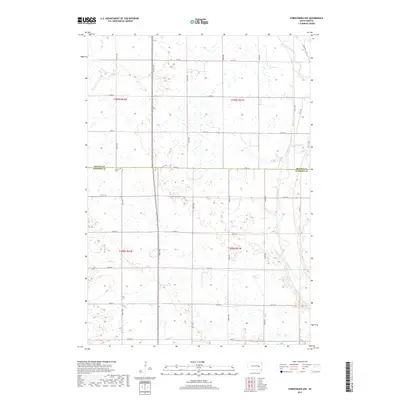
1958 Forestburg NW
Sanborn County, SD
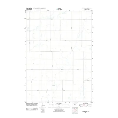
1971 Artesian NW
Sanborn County, SD
1973 Forestburg SW
Sanborn County, SD
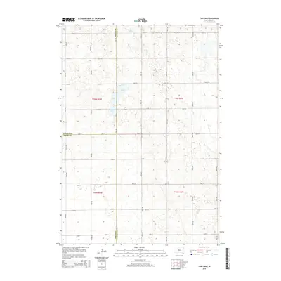
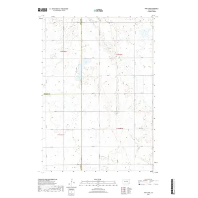
1979 Twin Lakes
Sanborn County, SD
2012 Artesian NW
Sanborn County, SD
2012 Farwell NW
Sanborn County, SD
2012 Forestburg NE
Sanborn County, SD
2012 Forestburg NW
Sanborn County, SD
2012 Forestburg SW
Sanborn County, SD
2012 Letcher NE
Sanborn County, SD
2012 Twin Lakes
Sanborn County, SD
2015 Artesian NW
Sanborn County, SD
2015 Farwell NW
Sanborn County, SD
2015 Forestburg NE
Sanborn County, SD
2015 Forestburg NW
Sanborn County, SD
2015 Forestburg SW
Sanborn County, SD
2015 Letcher NE
Sanborn County, SD
2015 Twin Lakes
Sanborn County, SD
2017 Artesian NW
Sanborn County, SD
2017 Farwell NW
Sanborn County, SD
2017 Forestburg NE
Sanborn County, SD
2017 Forestburg NW
Sanborn County, SD
2017 Forestburg SW
Sanborn County, SD
2017 Letcher NE
Sanborn County, SD
2017 Twin Lakes
Sanborn County, SD
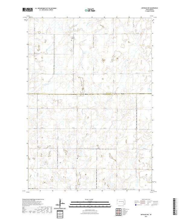
2021 Artesian NW
Sanborn County, SD
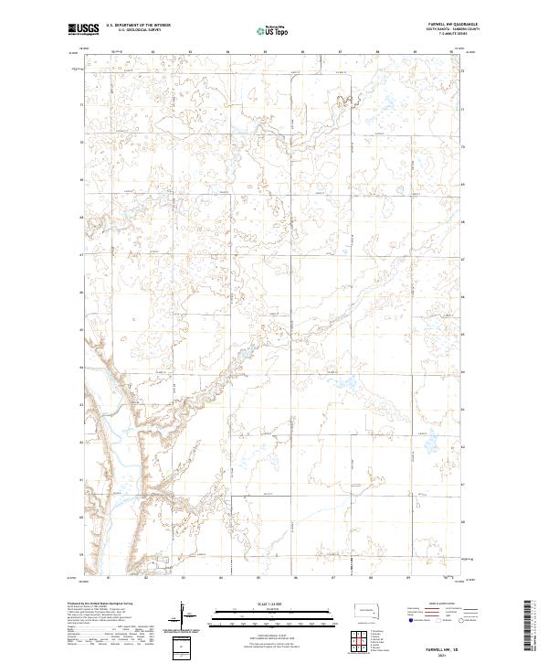
2021 Farwell NW
Sanborn County, SD
2021 Forestburg NE
Sanborn County, SD
2021 Forestburg NW
Sanborn County, SD
2021 Forestburg SW
Sanborn County, SD
2021 Letcher NE
Sanborn County, SD
2021 Twin Lakes
Sanborn County, SD