
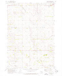
1973 Map of Alpena
USGS Topo · Published 1976About this map
Alpena stands as the primary settlement on this East River landscape, situated along the tracks of the Chicago Milwaukee St Paul and Pacific railroad. The town's grid is clearly defined, with the nearby Rest Haven Cem serving as a significant genealogical landmark for the surrounding rural townships of Carlyle, Grant, and Warren. The terrain is characterized by the meandering courses of Cain Creek and Sand Creek, punctuated by several instances of a Flowing Well, indicating the importance of groundwater for the local agricultural economy. Economic activity is further marked by numerous Gravel Pit sites scattered across the prairie. The map also delineates several political boundaries, including the meeting point of Beadle, Jerauld, and Sanborn counties, offering a precise look at the jurisdictional layout of the mid-1970s.
Find a feature on this map
15 named features on this map. Tap any name to fly to it.
Don’t see what you’re looking for? This feature index may not catch every label — zoom into the map to look around manually.
Map Details
Editions of this 1973 Alpena Map
This is the sole edition of this map. No revisions or reprints were ever made.
Other maps of this area

1898 · Huron
USGS Topo · 1:125,000

1953 · Huron
USGS Topo · 1:250,000

1954 · Huron
USGS Topo · 1:250,000

1957 · Huron
USGS Topo · 1:24,000

1958 · Forestburg NW
USGS Topo · 1:24,000
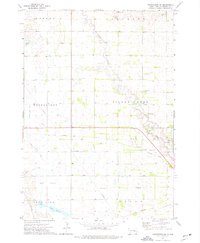
1973 · Forestburg SW
USGS Topo · 1:24,000
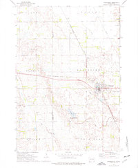
1973 · Woonsocket
USGS Topo · 1:24,000
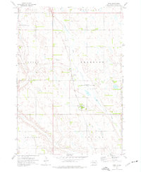
1973 · Virgil
USGS Topo · 1:24,000
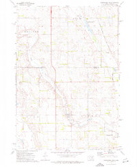
1973 · Woonsocket NW
USGS Topo · 1:24,000
1973 · Wolsey SE
USGS Topo · 1:24,000