2000s (21st Century) Maps of Frankfort, Frankfort Township
Explore 8 historic maps of Frankfort from the 2000s (21st Century). These maps offer a rare glimpse into what life looked like during the 2000s — showing old roads, neighborhoods, homes, and landmarks that have changed or disappeared over time.
Whether you're researching your family's past, planning a metal detecting trip, or studying how Frankfort's landscape evolved across the 2000s, these high-resolution maps are a powerful tool for exploring the history of this region.
- Focus on a specific era: All maps on this page are from the 2000s, giving you a focused view of this time period.
- See what’s changed: Compare century-old streets, trails, and buildings to today's modern landscape using overlays and satellite layers.
- Research with precision: Use these maps for genealogy, historical research, land use analysis, or educational projects.
- View, download, or print: Maps are fully viewable online in high resolution, and can be downloaded or printed for your own records.
Start exploring Frankfort's history through authentic maps from the 2000s. This is your window into the past.
Frankfort, Frankfort Township maps
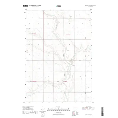
(8)- 2012 Map of Frankfort, 2012 Print
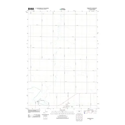 2012 Frankfort2012 Print · USGSCovers Frankfort, including Harmony Township, Great Bend Township, and other nearby areas
 - 2012 Map of Glendale Colony, 2012 Print
 2012 Glendale Colony2012 Print · USGSCovers Frankfort, including Glendale Hutterite Colony, Lincoln Township, and other nearby areas
 - 2015 Map of Glendale Colony, 2015 Print
 2015 Glendale Colony2015 Print · USGSCovers Frankfort, including Glendale Hutterite Colony, Lincoln Township, and other nearby areas
 - 2015 Map of Frankfort, 2015 Print
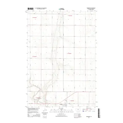 2015 Frankfort2015 Print · USGSCovers Frankfort, including Harmony Township, Great Bend Township, and other nearby areas
 - 2017 Map of Glendale Colony, 2017 Print
 2017 Glendale Colony2017 Print · USGSCovers Frankfort, including Glendale Hutterite Colony, Lincoln Township, and other nearby areas
 - 2017 Map of Frankfort, 2017 Print
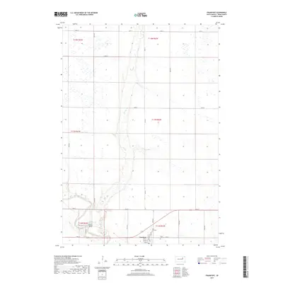 2017 Frankfort2017 Print · USGSCovers Frankfort, including Harmony Township, Great Bend Township, and other nearby areas
 - 2021 Map of Frankfort, 2021 Print
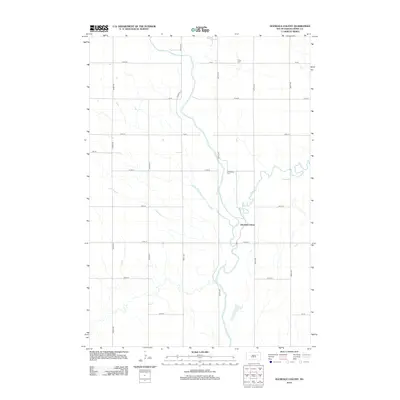
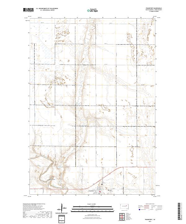 2021 Frankfort2021 Print · USGSThe Spink County prairie near the James River appears here in its modern agricultural form. Researchers can trace the townsite of Frankfort and locate local burial grounds including Saint Anne Cem and Mount Hope Cem.
 - 2021 Map of Glendale Colony, 2021 Print
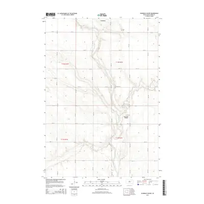
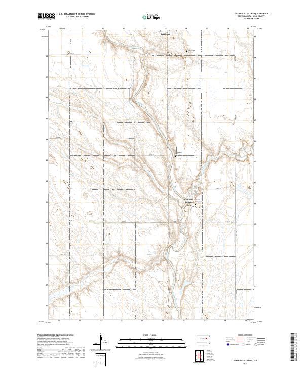 2021 Glendale Colony2021 Print · USGSThe James River valley in Spink County remains a landscape of communal settlement and prairie agriculture in this recent survey. Local researchers can trace the roads and cemeteries of the region, from the Glendale Colony to Trinity Cem and Guttenberg Cem.
End of results
Showing maps 1-8 of 8
Top cities near Frankfort
- Redfield historical maps
- Doland historical maps
- Tulare historical maps
- Ashton historical maps
- Crandon historical maps
- Turton historical maps
Frequently asked questions
- What are the different types of historical maps available for Frankfort?
- What is the oldest map of Frankfort?
- Where can I purchase historical maps of Frankfort for my home or office?
- Where can I download high-res historical maps of Frankfort?
- Are there historical topographic maps available for Frankfort?
- Is there historical aerial imagery available for Frankfort?
- Where are historical maps of Frankfort sourced from?