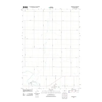
2012 Map of Frankfort
USGS Topo · Published 2012About this map
The James River snakes through the southwestern corner of this Spink County landscape, shaping a distinct riverine environment that includes Motley Island and the established grounds of Fisher Grove. To the north, the terrain is defined by the ephemeral path of Dry Run, which meanders across the section lines of the township’s agricultural grid. This 2012 survey illustrates a transition from the riparian landscape of the river valley to the highly structured prairie roads typical of the Dakotas, where avenues and streets meet at precise intervals. Near the confluence of the river and its tributary, local history is anchored by the proximity of Saint Anne Cem and Mount Hope Cem, situated just north of the residential corridor along Oak St and Maple St. The map captures the enduring rural character of the area, where the section road network accommodates the natural curves of the river system.
Find a feature on this map
27 named features on this map. Tap any name to fly to it.
Don’t see what you’re looking for? This feature index may not catch every label — zoom into the map to look around manually.
Map Details
Editions of this 2012 Frankfort Map
This is the sole edition of this map. No revisions or reprints were ever made.
Other maps of this area

1894 · Conde
USGS Topo · 1:62,500

1895 · Byron
USGS Topo · 1:125,000

1895 · Aberdeen
USGS Topo · 1:125,000

1953 · Frankfort
USGS Topo · 1:24,000

1953 · Gallup
USGS Topo · 1:24,000

1953 · Ashton
USGS Topo · 1:24,000

1953 · Huron
USGS Topo · 1:250,000

1954 · Aberdeen
USGS Topo · 1:250,000

1954 · Huron
USGS Topo · 1:250,000

1956 · Aberdeen
USGS Topo · 1:250,000