Old Maps of Olean Township, South Dakota
Explore 28 old maps of Olean Township, spanning from 1894 to today. These high-resolution historic maps reveal how streets, neighborhoods, landmarks, and natural features evolved over time — perfect for genealogy, metal detecting, research, and local history exploration.
What you can do with these maps:
- See how Olean Township changed over time: Compare historical maps to modern-day views to trace roads, homesites, rail lines & more.
- View detailed metadata: Each map includes creators, publishers, year, scale, and archive source.
- Overlay maps with satellite & LiDAR: Visualize the past alongside modern tools to explore terrain & human change.
- Trusted historical sources: Maps sourced from the USGS, Library of Congress, and other archives.
- Access maps your way: View online, download high-res files, or order prints for personal or research use.
Start exploring old maps of Olean Township to uncover forgotten places, hidden landmarks, and the deep history beneath your feet.
Olean Township, SD maps
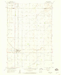
(28)- 1894 Map of Conde
 1894 Conde1894 Print · USGSThe James River Valley region during the pioneer era of the 1890s reveals a landscape defined by the arrival of the rails. Trace the early township developments of Benton and Tetonka and locate early railway stops at Conde, Turton, and Verdon.
 - 1895 Map of Aberdeen
 1895 Aberdeen1895 Print · USGSNortheastern South Dakota was rapidly evolving in the 1890s as a vital railroad corridor through the James River Valley. Local historians and genealogists can trace the early layout of rail-side towns like Warner, Groton, and the burgeoning hub of Aberdeen.4 unique versions available
 - 1953 Map of Milbank, 1958 Print
 1953 Milbank1958 Print · USGSThe tri-state border region of South Dakota, North Dakota, and Minnesota is shown here during the early fifties, a landscape defined by glacial lakes and the Sisseton Indian Reservation. Researchers can trace the legacy of the western railroads, locating old stops along the Great Northern and settlements like Milbank, Webster, and Sisseton.3 unique versions available
 - 1954 Map of Aberdeen, 1964 Print
 1954 Aberdeen1964 Print · USGSNortheastern South Dakota in the mid-fifties remains a world of rail-dependent prairie towns and sweeping waterfowl refuges. Genealogists can trace family roots through settlements like Eureka and Ipswich or locate rural landmarks near Richmond Lake.2 unique versions available
 - 1956 Map of Aberdeen
 1956 Aberdeen1956 Print · USGSUpper South Dakota during the mid-fifties remains a landscape of rail-connected farming towns and expansive glacial lake basins. Genealogists and historians can trace the paths of the Minneapolis and St Louis railroad through Gettysburg or locate vanished stops near Elm Lake and Richmond Lake.
 - 1958 Map of Milbank
 1958 Milbank1958 Print · USGSThe northern Great Plains in the late fifties show a landscape of glacial lakes and reservation lands shaped by the Great Northern railroad. Genealogists and local historians can trace the grid of settlements from Britton to Milbank and locate landmarks like Enemy Swim Lake and the Sisseton Indian Reservation.
 - 1958 Map of Conde, 1960 Print
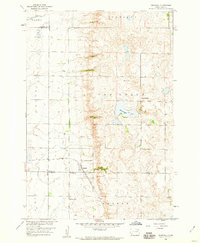
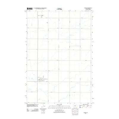
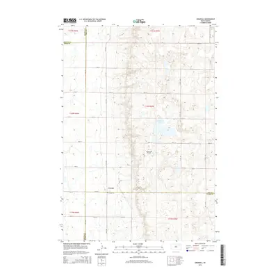
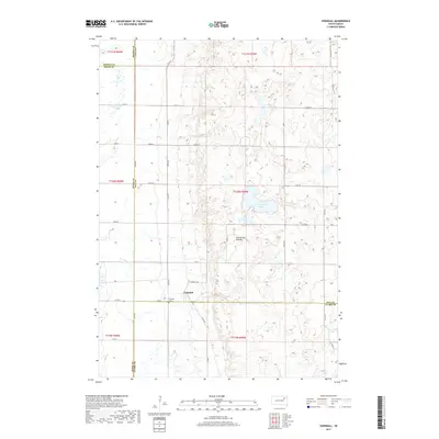
 1958 Conde1960 Print · USGSThe rail junction at Conde was a vital hub in the late fifties, where two major lines intersected in the heart of the prairie. Researchers can trace the layout of Verdon, locate the Verdon Cem, and see the path of the Minneapolis and St Louis railroad.
 - 1958 Map of Crandall, 1960 Print
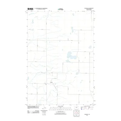
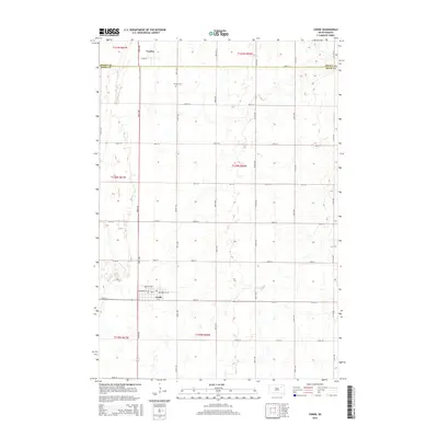
 1958 Crandall1960 Print · USGSThe rural prairie of Day County is captured here in the late fifties, centered on the rail-fed town of Crandall. Genealogists and historians can trace the locations of School No 4, Sweetwater Lake, and the local Crandall Cemetery.
 - 1960 Map of Turton, 1962 Print
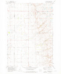
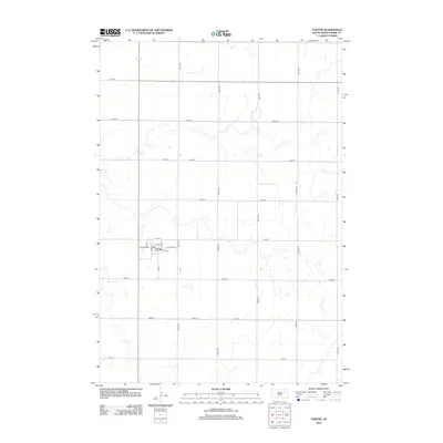
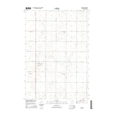
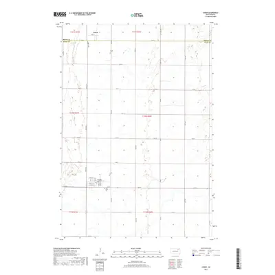
 1960 Turton1962 Print · USGSThe Spink County prairie comes into focus during the early sixties, centered on the rail-side settlement of Turton. Genealogists and researchers can trace the old Chicago and North Western line and locate local landmarks like the Flowing Well.2 unique versions available
 - 1973 Map of Crocker SW, 1975 Print
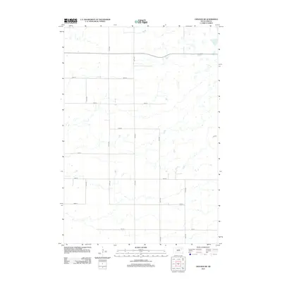
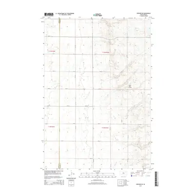
 1973 Crocker SW1975 Print · USGSSpink and Clark Counties are captured here in the early 1970s, showcasing the rural township structure of the South Dakota prairie. Genealogists can locate civic landmarks like the Townhall and the Chicago and North Western rail line.
 - 1985 Map of Webster
 1985 Webster1985 Print · USGSNortheastern South Dakota in the mid-eighties reveals a landscape of prairie potholes and rail-line towns centered on the Webster region. Genealogists and historians can trace rail-town development along the Burlington Northern and find early conservation boundaries like the Waubay National Wildlife Refuge.2 unique versions available
 - 1985 Map of Aberdeen
 1985 Aberdeen1985 Print · USGSThe James River valley of South Dakota is seen here in the mid-eighties, centered on the growing hub of Aberdeen. Genealogists and historians can trace the rail corridors of the Chicago and North Western or find rural landmarks like Bath Corner and South Scatterwood Lake.2 unique versions available
 - 2012 Map of Crocker SW, 2012 Print
 2012 Crocker SW2012 Print · USGSCovers Olean Township, including Turton Township, Spink County, and other nearby areas
 - 2012 Map of Crandall, 2012 Print
 2012 Crandall2012 Print · USGSCovers Olean Township, including Crandall, Bates Township, and other nearby areas
 - 2012 Map of Conde, 2012 Print
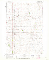
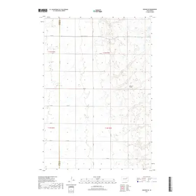
 2012 Conde2012 Print · USGSCovers Olean Township, including Conde, Verdon, and other nearby areas
 - 2012 Map of Turton, 2012 Print
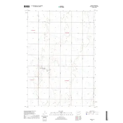
 2012 Turton2012 Print · USGSCovers Olean Township, including Turton, Turton Township, and other nearby areas
 - 2015 Map of Crocker SW, 2015 Print
 2015 Crocker SW2015 Print · USGSCovers Olean Township, including Turton Township, Spink County, and other nearby areas
 - 2015 Map of Crandall, 2015 Print
 2015 Crandall2015 Print · USGSCovers Olean Township, including Crandall, Bates Township, and other nearby areas
 - 2015 Map of Turton, 2015 Print
 2015 Turton2015 Print · USGSCovers Olean Township, including Turton, Turton Township, and other nearby areas
 - 2015 Map of Conde, 2015 Print
 2015 Conde2015 Print · USGSCovers Olean Township, including Conde, Verdon, and other nearby areas
 - 2017 Map of Crandall, 2017 Print
 2017 Crandall2017 Print · USGSCovers Olean Township, including Crandall, Bates Township, and other nearby areas
 - 2017 Map of Conde, 2017 Print
 2017 Conde2017 Print · USGSCovers Olean Township, including Conde, Verdon, and other nearby areas
 - 2017 Map of Turton, 2017 Print
 2017 Turton2017 Print · USGSCovers Olean Township, including Turton, Turton Township, and other nearby areas
 - 2017 Map of Crocker SW, 2017 Print
 2017 Crocker SW2017 Print · USGSCovers Olean Township, including Turton Township, Spink County, and other nearby areas
 - 2021 Map of Crocker SW, 2021 Print
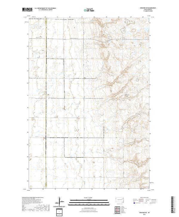 2021 Crocker SW2021 Print · USGSThe high glacial plateau of eastern South Dakota is captured here in the early twenty-first century. Genealogists and land researchers can trace property boundaries and section lines along the Spink Co Clark Co line and S Dakota Highway 20.
Showing maps 1-25 of 28
Top cities near Olean Township
- Doland historical maps
- Conde historical maps
- Hutterville Colony historical maps
- Raymond historical maps
- Turton historical maps
- Verdon historical maps
Frequently asked questions
- What are the different types of historical maps available for Olean Township?
- What is the oldest map of Olean Township?
- Where can I purchase historical maps of Olean Township for my home or office?
- Where can I download high-res historical maps of Olean Township?
- Are there historical topographic maps available for Olean Township?
- Is there historical aerial imagery available for Olean Township?
- Where are historical maps of Olean Township sourced from?