2000s (21st Century) Maps of Olean Township, South Dakota
Explore 16 historic maps of Olean Township from the 2000s (21st Century). These maps offer a rare glimpse into what life looked like during the 2000s — showing old roads, neighborhoods, homes, and landmarks that have changed or disappeared over time.
Whether you're researching your family's past, planning a metal detecting trip, or studying how Olean Township's landscape evolved across the 2000s, these high-resolution maps are a powerful tool for exploring the history of this region.
- Focus on a specific era: All maps on this page are from the 2000s, giving you a focused view of this time period.
- See what’s changed: Compare century-old streets, trails, and buildings to today's modern landscape using overlays and satellite layers.
- Research with precision: Use these maps for genealogy, historical research, land use analysis, or educational projects.
- View, download, or print: Maps are fully viewable online in high resolution, and can be downloaded or printed for your own records.
Start exploring Olean Township's history through authentic maps from the 2000s. This is your window into the past.
Olean Township, SD maps
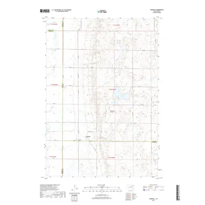
(16)- 2012 Map of Crocker SW, 2012 Print
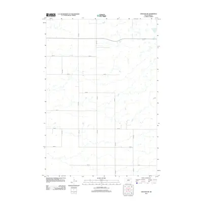 2012 Crocker SW2012 Print · USGSCovers Olean Township, including Turton Township, Spink County, and other nearby areas
 - 2012 Map of Crandall, 2012 Print
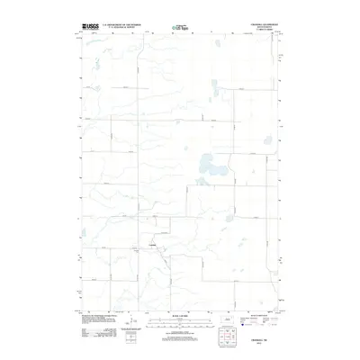 2012 Crandall2012 Print · USGSCovers Olean Township, including Crandall, Bates Township, and other nearby areas
 - 2012 Map of Conde, 2012 Print
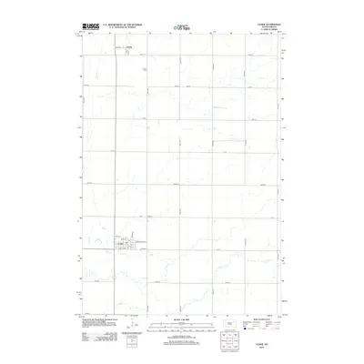 2012 Conde2012 Print · USGSCovers Olean Township, including Conde, Verdon, and other nearby areas
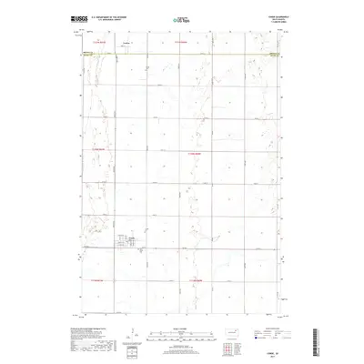
 - 2012 Map of Turton, 2012 Print
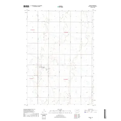
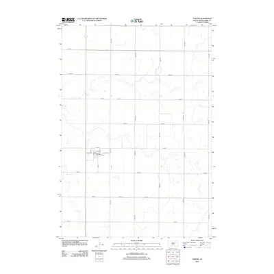 2012 Turton2012 Print · USGSCovers Olean Township, including Turton, Turton Township, and other nearby areas
 - 2015 Map of Crocker SW, 2015 Print
 2015 Crocker SW2015 Print · USGSCovers Olean Township, including Turton Township, Spink County, and other nearby areas
 - 2015 Map of Crandall, 2015 Print
 2015 Crandall2015 Print · USGSCovers Olean Township, including Crandall, Bates Township, and other nearby areas
 - 2015 Map of Turton, 2015 Print
 2015 Turton2015 Print · USGSCovers Olean Township, including Turton, Turton Township, and other nearby areas
 - 2015 Map of Conde, 2015 Print
 2015 Conde2015 Print · USGSCovers Olean Township, including Conde, Verdon, and other nearby areas
 - 2017 Map of Crandall, 2017 Print
 2017 Crandall2017 Print · USGSCovers Olean Township, including Crandall, Bates Township, and other nearby areas
 - 2017 Map of Conde, 2017 Print
 2017 Conde2017 Print · USGSCovers Olean Township, including Conde, Verdon, and other nearby areas
 - 2017 Map of Turton, 2017 Print
 2017 Turton2017 Print · USGSCovers Olean Township, including Turton, Turton Township, and other nearby areas
 - 2017 Map of Crocker SW, 2017 Print
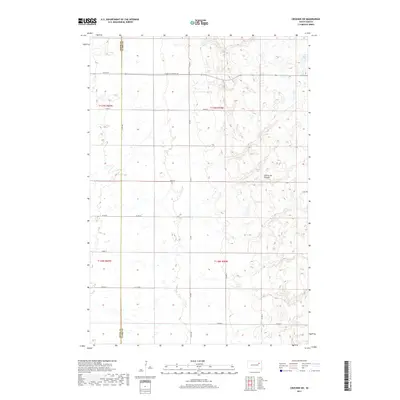 2017 Crocker SW2017 Print · USGSCovers Olean Township, including Turton Township, Spink County, and other nearby areas
 - 2021 Map of Crocker SW, 2021 Print
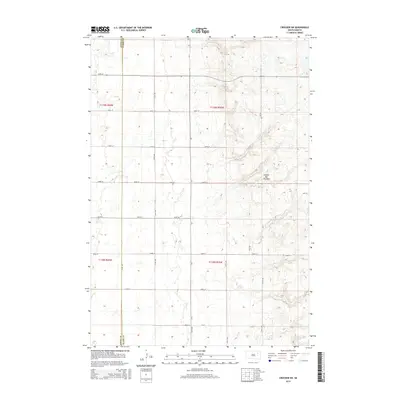
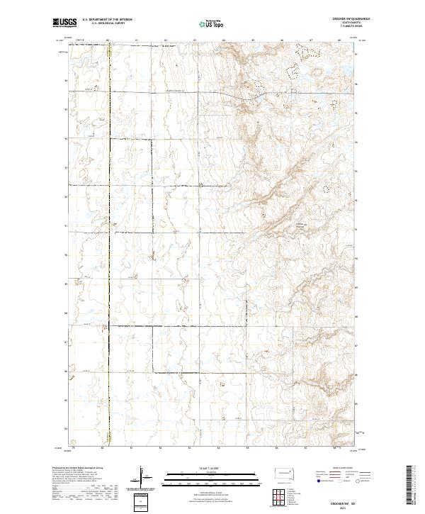 2021 Crocker SW2021 Print · USGSThe high glacial plateau of eastern South Dakota is captured here in the early twenty-first century. Genealogists and land researchers can trace property boundaries and section lines along the Spink Co Clark Co line and S Dakota Highway 20.
 - 2021 Map of Turton, 2021 Print
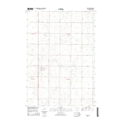
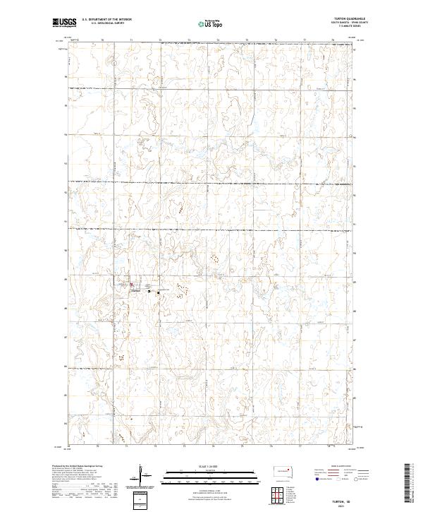 2021 Turton2021 Print · USGSThe township of Turton and its surrounding prairie landscape are captured here in the early twenty-first century. Genealogists and local historians can locate specific burial sites at Saint Joseph's Cem and Sunnyside Cem or trace the natural course of Timber Cr.
 - 2021 Map of Crandall, 2021 Print
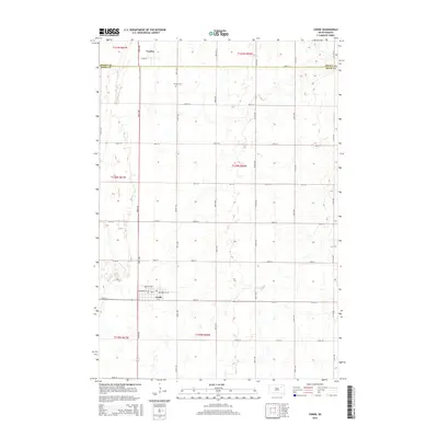
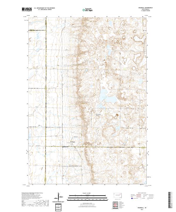 2021 Crandall2021 Print · USGSDay County and the surrounding prairie lands are captured here during the early twenty-first century. Researchers can trace the layout of Crandall and locate the Crandall Cem or the waters of Sweetwater Lake along the glacial Coteau des Prairies.
 - 2021 Map of Conde, 2021 Print
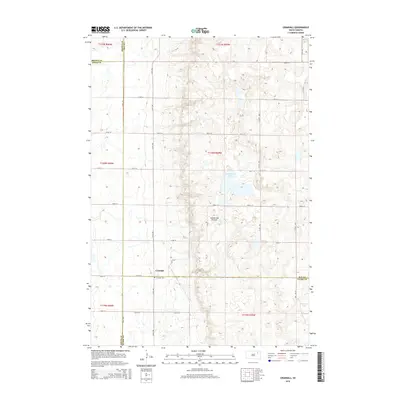
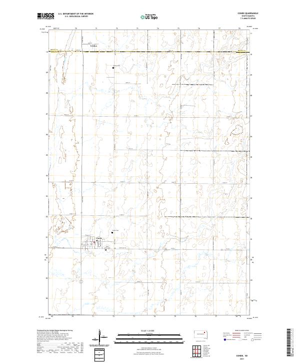 2021 Conde2021 Print · USGSSpink and Brown counties were well-established farming territories by the early twenty-first century. Genealogists and local historians can trace the town layouts of Conde and Verdon, as well as rural landmarks like Conde Cem and Saint John's Cem.
End of results
Showing maps 1-16 of 16
Top cities near Olean Township
- Doland historical maps
- Conde historical maps
- Hutterville Colony historical maps
- Raymond historical maps
- Turton historical maps
- Verdon historical maps
Frequently asked questions
- What are the different types of historical maps available for Olean Township?
- What is the oldest map of Olean Township?
- Where can I purchase historical maps of Olean Township for my home or office?
- Where can I download high-res historical maps of Olean Township?
- Are there historical topographic maps available for Olean Township?
- Is there historical aerial imagery available for Olean Township?
- Where are historical maps of Olean Township sourced from?