Old Maps of Two Strike Segment, South Dakota for Academic Research
Study the evolution of Two Strike Segment with 18 high-resolution historic maps. Whether you're teaching, researching, or modeling changes in land use, these maps provide essential visual documentation of urban, environmental, and geographic change.
- Analyze long-term change: Track patterns in development, transportation, and natural features.
- Ideal for environmental or urban studies: Support academic projects with primary historical map data.
- Use in the classroom or lab: Educators and researchers rely on these maps to bring historical context to life.
These maps are a powerful tool for teaching, research, and visualizing how Two Strike Segment has changed over the decades.
Two Strike Segment, SD maps
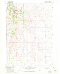
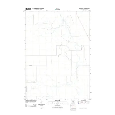
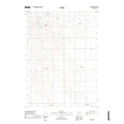
(18)- 1955 Map of Martin, 1968 Print
 1955 Martin1968 Print · USGSTribal lands and rail corridors define the South Dakota plains in the mid-fifties, from the sand hills to the badlands. Genealogists and historians can trace the early layout of Pine Ridge Indian Reservation settlements and find small rail towns like Stamford and Witten.2 unique versions available
 - 1958 Map of Martin
 1958 Martin1958 Print · USGSSouth Dakota's southern plains are documented here in the late fifties, showing the expansive Pine Ridge and Rosebud Indian Reservations. Genealogists and historians can locate early settlements along the Chicago Milwaukee St Paul and Pacific line or find family roots near Martin and the Indian Cemetery.
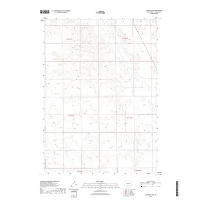
 - 1969 Map of Olsonville NW, 1972 Print
 1969 Olsonville NW1972 Print · USGSTodd County, South Dakota is mapped in the late sixties, showing the vital relationship between the land and its water sources within the Rosebud Indian Reservation. Genealogists and historians can trace field boundaries and vital water points like Antelope Creek, Well, and Spring.
 - 1969 Map of Rosebud, 1972 Print
 1969 Rosebud1972 Print · USGSThe community of Rosebud is shown in detail during the late 1960s as the heart of the Rosebud Indian Reservation. Researchers can locate significant landmarks including the Spotted Tail Cem, the Paulhamous Landing Area, and Indian Scout Lake.
 - 1969 Map of St. Francis, 1972 Print
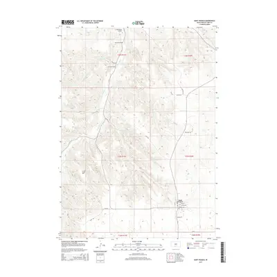
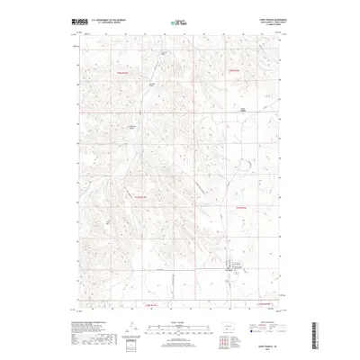
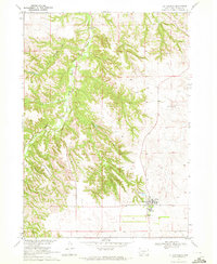 1969 St. Francis1972 Print · USGSThe Rosebud Indian Reservation in the late sixties is centered here on the settlement of St Francis. Researchers can trace the community layout of the time through the Mission Sch, Immaculate Conception Ch, and the rugged topography of Crazy Horse Canyon.
 - 1982 Map of Mission, 1983 Print
 1982 Mission1983 Print · USGSThe Rosebud Reservation in the early eighties shows a landscape of plains communities and aviation outposts. Genealogists and researchers can trace local centers like Mission, Rosebud, and St Francis, or locate family landmarks near Antelope Lake and the Keya Paha River.
 - 2012 Map of Rosebud, 2012 Print
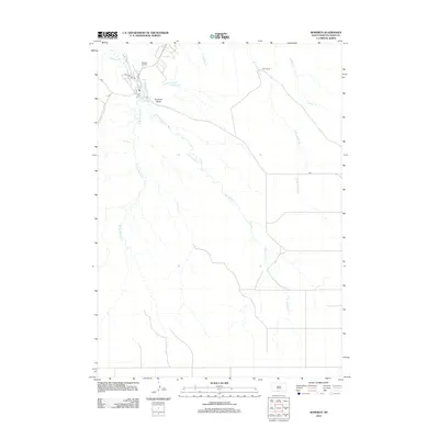 2012 Rosebud2012 Print · USGSCovers Two Strike Segment, including Rosebud, St. Francis Segment, and other nearby areas
 - 2012 Map of Saint Francis, 2012 Print
 2012 Saint Francis2012 Print · USGSCovers Two Strike Segment, including Rosebud, St. Francis Segment, and other nearby areas
 - 2012 Map of Olsonville NW, 2012 Print
 2012 Olsonville NW2012 Print · USGSCovers Two Strike Segment, including Rosebud, Antelope Segment, and other nearby areas
 - 2015 Map of Olsonville NW, 2015 Print
 2015 Olsonville NW2015 Print · USGSCovers Two Strike Segment, including Rosebud, Antelope Segment, and other nearby areas
 - 2015 Map of Saint Francis, 2015 Print
 2015 Saint Francis2015 Print · USGSCovers Two Strike Segment, including Rosebud, St. Francis Segment, and other nearby areas
 - 2015 Map of Rosebud, 2015 Print
 2015 Rosebud2015 Print · USGSCovers Two Strike Segment, including Rosebud, St. Francis Segment, and other nearby areas
 - 2017 Map of Rosebud, 2017 Print
 2017 Rosebud2017 Print · USGSCovers Two Strike Segment, including Rosebud, St. Francis Segment, and other nearby areas
 - 2017 Map of Olsonville NW, 2017 Print
 2017 Olsonville NW2017 Print · USGSCovers Two Strike Segment, including Rosebud, Antelope Segment, and other nearby areas
 - 2017 Map of Saint Francis, 2017 Print
 2017 Saint Francis2017 Print · USGSCovers Two Strike Segment, including Rosebud, St. Francis Segment, and other nearby areas
 - 2021 Map of Olsonville NW, 2021 Print
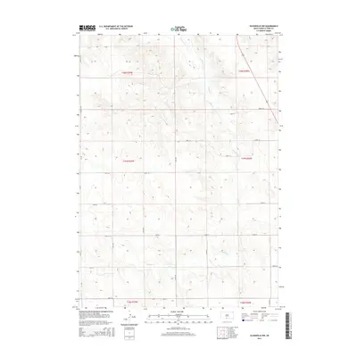
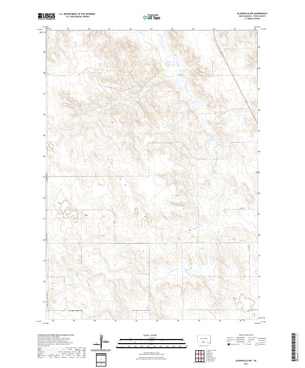 2021 Olsonville NW2021 Print · USGSTodd County's high plains are captured in the early 2020s, showing a landscape defined by ranching roads and natural drainage. Trace the winding path of Antelope Cr and the rural road network including Lakeview Rd and 288th St.
 - 2021 Map of Rosebud, 2021 Print
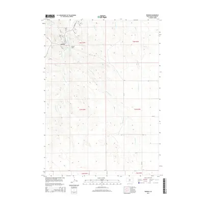
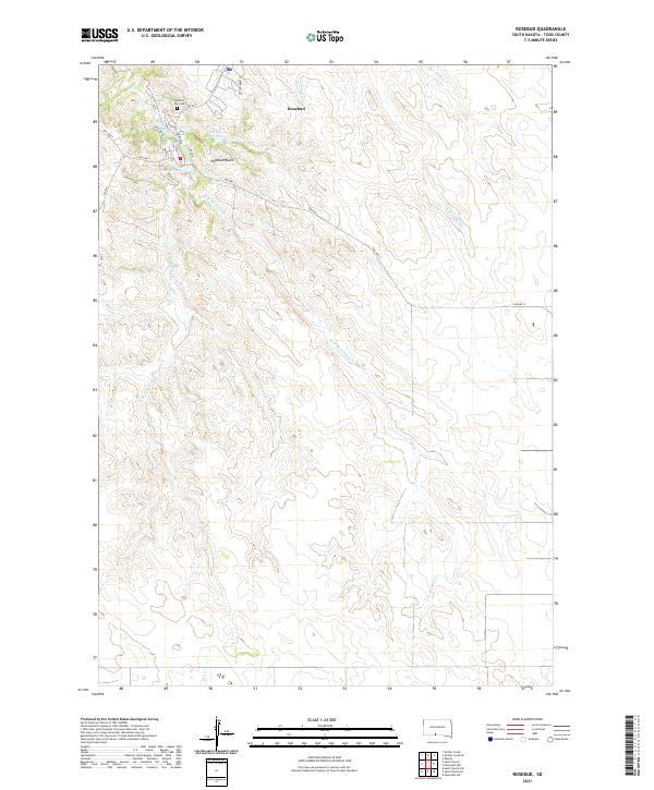 2021 Rosebud2021 Print · USGSRosebud and its surrounding creek systems are captured here in the early twenty-first century. Researchers can locate Spotted Tail Cem and trace the drainage of the W Br Rosebud Cr near the prominent Rosebud Butte.
 - 2021 Map of Saint Francis, 2021 Print
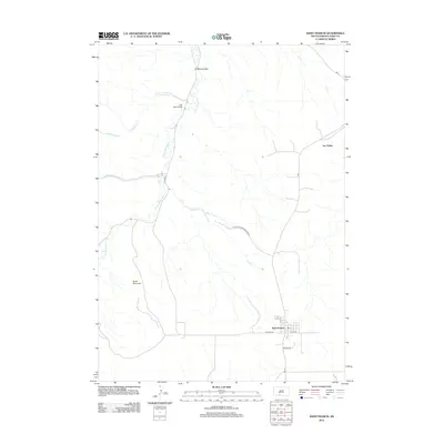
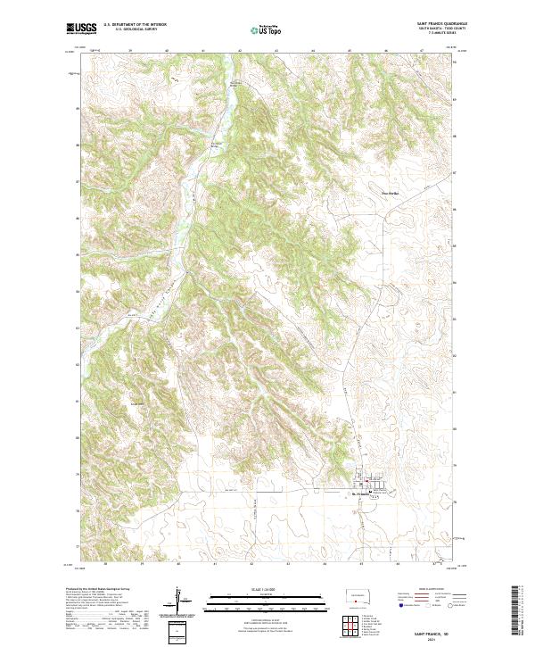 2021 Saint Francis2021 Print · USGSTodd County's high plains and river breaks are documented here in the early twenty-first century. Researchers can trace the community of St. Francis, locate the Saint Charles Catholic Cem, and identify crossings like the Iron Shell Bridge.
End of results
Showing maps 1-18 of 18
Top cities near Two Strike Segment
Top neighborhoods of Two Strike Segment
Frequently asked questions
- What are the different types of historical maps available for Two Strike Segment?
- What is the oldest map of Two Strike Segment?
- Where can I purchase historical maps of Two Strike Segment for my home or office?
- Where can I download high-res historical maps of Two Strike Segment?
- Are there historical topographic maps available for Two Strike Segment?
- Is there historical aerial imagery available for Two Strike Segment?
- Where are historical maps of Two Strike Segment sourced from?