Old Maps of Winner, South Dakota for Genealogy
Trace your family roots with 19 historic maps of Winner. These high-res maps reveal old neighborhoods, homesites, landmarks, and streets — helping you uncover where your ancestors lived and how the area evolved over time.
- Explore historic neighborhoods: Identify where your relatives may have lived in the 1800s or 1900s.
- Compare maps over time: Trace the changes in streets, buildings, and landmarks for multi-generational research.
- Perfect for genealogy & ancestry research: Used by family historians and researchers to map out lineage and migration.
These maps are an incredible resource for exploring your personal connection to Winner's past.
Winner, SD maps
(19)- 1955 Map of Mitchell, 1973 Print
 1955 Mitchell1973 Print · USGSThe Missouri River valley undergoes a massive transformation in the mid-1950s as the Fort Randall Dam creates Lake Francis Case. You can trace the rail lines of the Chicago Milwaukee St Paul and Pacific through Mitchell or locate local landmarks like Butler Town Hall.2 unique versions available
 - 1959 Map of Mitchell
 1959 Mitchell1959 Print · USGSSouth Dakota’s river and rail corridors come alive in the late fifties as the Missouri River valley undergoes dramatic change. Genealogists and historians can trace family roots through numerous small towns and schools such as Academy, Stickney, and Gregory.2 unique versions available
 - 1982 Map of Winner North
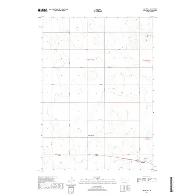
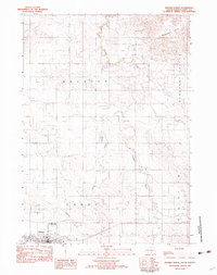 1982 Winner North1982 Print · USGSThe town of Winner and the surrounding Tripp County prairie are captured in the early 1980s as the regional landscape transitioned. Local researchers can trace the Old RR Grade, find the Cem, and locate landmarks like Bradleyon Butte and Bob Wiley Field.
 - 1982 Map of Winner South
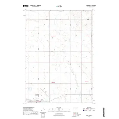
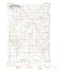 1982 Winner South1982 Print · USGSWinner and its southern rural townships are captured in the early eighties as the agricultural landscape of Tripp County. Researchers can trace local development through landmarks like the Reilly Sch, the Rodeo Arena, and the Beaulieu Lake conservation area.
 - 1982 Map of Miller Hill
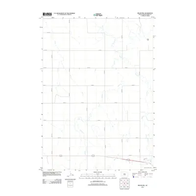
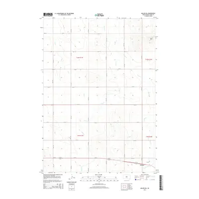
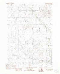 1982 Miller Hill1982 Print · USGSTripp County in the early eighties exhibits a blend of traditional ranch land and mid-century development. Researchers can trace the Old RR Grade through the prairie or locate local landmarks like the Drive-In Theater and Miller Hill.
 - 1986 Map of Winner
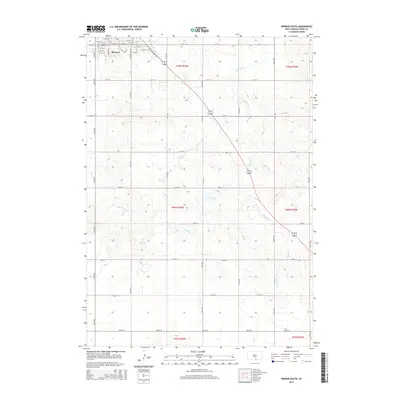
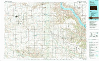 1986 Winner1986 Print · USGSTripp and Gregory Counties are captured in the mid-eighties as the agricultural heartland centered on the Chicago and North Western line. Genealogists can trace family footprints near St Charles, Paxton, and Winner, or explore the shoreline of Lake Francis Case.2 unique versions available
 - 1990 Map of Mitchell, 1991 Print
 1990 Mitchell1991 Print · USGSThe Missouri River and the surrounding South Dakota plains are captured here in the early nineties, showing a landscape shaped by water and wire. Genealogists and historians can trace the gridded townships from Mitchell to the Bijou Hills, locating sites like the Platte Colony and Academy.
 - 2012 Map of Miller Hill, 2012 Print
 2012 Miller Hill2012 Print · USGSCovers Winner, including Ideal Segment, Tripp County, and other nearby areas
 - 2012 Map of Winner South, 2012 Print
 2012 Winner South2012 Print · USGSCovers Winner, including Ideal Segment, Tripp County, and other nearby areas
 - 2012 Map of Winner North, 2012 Print
 2012 Winner North2012 Print · USGSCovers Winner, including Ideal Segment, Tripp County, and other nearby areas
 - 2015 Map of Winner North, 2015 Print
 2015 Winner North2015 Print · USGSCovers Winner, including Ideal Segment, Tripp County, and other nearby areas
 - 2015 Map of Miller Hill, 2015 Print
 2015 Miller Hill2015 Print · USGSCovers Winner, including Ideal Segment, Tripp County, and other nearby areas
 - 2015 Map of Winner South, 2015 Print
 2015 Winner South2015 Print · USGSCovers Winner, including Ideal Segment, Tripp County, and other nearby areas
 - 2017 Map of Miller Hill, 2017 Print
 2017 Miller Hill2017 Print · USGSCovers Winner, including Ideal Segment, Tripp County, and other nearby areas
 - 2017 Map of Winner North, 2017 Print
 2017 Winner North2017 Print · USGSCovers Winner, including Ideal Segment, Tripp County, and other nearby areas
 - 2017 Map of Winner South, 2017 Print
 2017 Winner South2017 Print · USGSCovers Winner, including Ideal Segment, Tripp County, and other nearby areas
 - 2021 Map of Winner South, 2021 Print
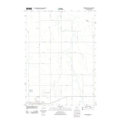
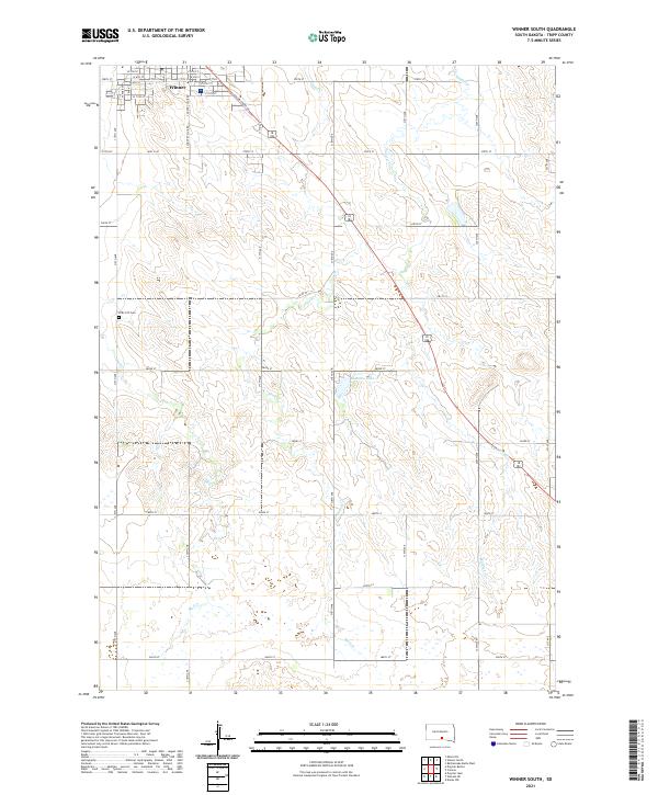 2021 Winner South2021 Print · USGSThe rural landscape south of Winner appears here in the early twenty-first century, showing the transition from the town grid to Tripp County rangeland. Researchers can locate the ZCBJ 237 Cem and trace seasonal waterways like Sand Creek and Beaulieu Lake.
 - 2021 Map of Winner North, 2021 Print
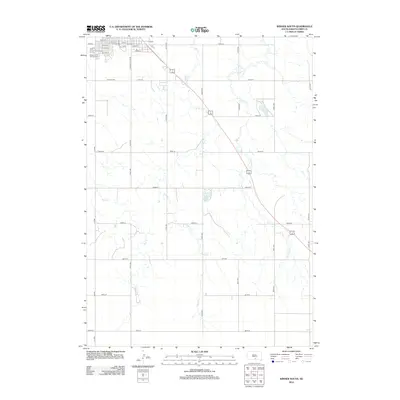
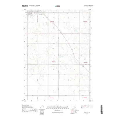
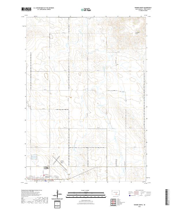 2021 Winner North2021 Print · USGSWinner and its surrounding prairie are documented in this recent survey of south-central South Dakota. Researchers can trace the town grid and landmarks like the Tripp County Courthouse and Winner City Cem, or follow the drainage of Thunder Cr toward Bradleyon Butte.
 - 2021 Map of Miller Hill, 2021 Print
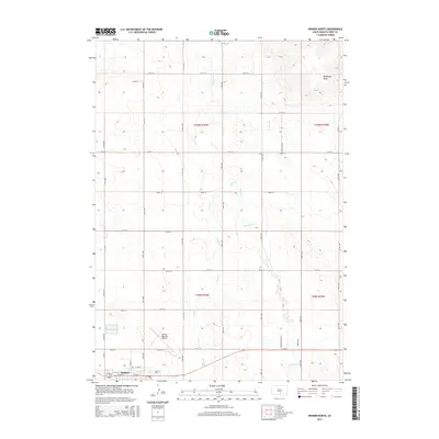
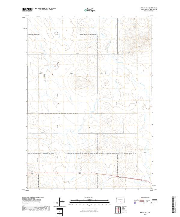 2021 Miller Hill2021 Print · USGSTripp County at the beginning of the 2020s shows a landscape of precision-grid roads and prairie drainages. Researchers can trace the development of Winner and locate landmarks like Miller Hill or follow the paths of Dog Ear Cr and Hollow Cr.
End of results
Showing maps 1-19 of 19
Top cities near Winner
Frequently asked questions
- What are the different types of historical maps available for Winner?
- What is the oldest map of Winner?
- Where can I purchase historical maps of Winner for my home or office?
- Where can I download high-res historical maps of Winner?
- Are there historical topographic maps available for Winner?
- Is there historical aerial imagery available for Winner?
- Where are historical maps of Winner sourced from?