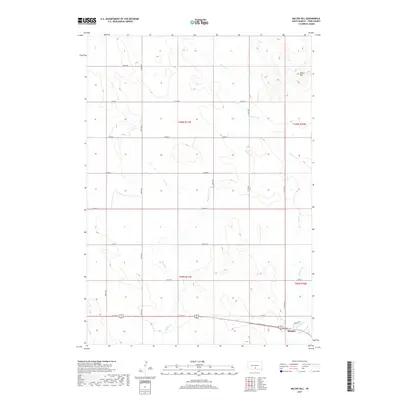
2017 Map of Miller Hill
USGS Topo · Published 2017About this map
The northwest edge of Winner anchors this 2017 study of the rural Tripp County landscape. This survey documents the transition from the city's residential streets, such as Dreyer Ave, into the surrounding agricultural sections. The terrain is defined by the elevation of Miller Hill in the northeast, while the drainage of the northern plains is captured through several seasonal waterways. Tributaries including Dog Ear Cr, Hollow Cr, and Owl Cr wind through the township sections, tracing the natural contours of the land. A precise grid of section-line roads, including 277th St and 314th Ave, provides a framework for the township and range boundaries of t100n r77w and t99n r76w. The map preserves the spatial relationship between the expanding footprint of the county seat and the enduring prairie drainages that shaped early settlement in South Dakota.
Find a feature on this map
23 named features on this map. Tap any name to fly to it.
Don’t see what you’re looking for? This feature index may not catch every label — zoom into the map to look around manually.
Map Details
Editions of this 2017 Miller Hill Map
This is the sole edition of this map. No revisions or reprints were ever made.
Other maps of this area

1955 · Martin
USGS Topo · 1:250,000

1955 · Mitchell
USGS Topo · 1:250,000

1958 · Martin
USGS Topo · 1:250,000

1959 · Mitchell
USGS Topo · 1:250,000

1982 · Presho 4 SE
USGS Topo · 1:25,000

1982 · King Dam
USGS Topo · 1:25,000

1982 · Winner North
USGS Topo · 1:25,000

1982 · Witten SE
USGS Topo · 1:25,000

1982 · Witten
USGS Topo · 1:25,000

1982 · Winner South
USGS Topo · 1:25,000