Old Maps of Germantown Township, South Dakota for Genealogy
Trace your family roots with 27 historic maps of Germantown Township. These high-res maps reveal old neighborhoods, homesites, landmarks, and streets — helping you uncover where your ancestors lived and how the area evolved over time.
- Explore historic neighborhoods: Identify where your relatives may have lived in the 1800s or 1900s.
- Compare maps over time: Trace the changes in streets, buildings, and landmarks for multi-generational research.
- Perfect for genealogy & ancestry research: Used by family historians and researchers to map out lineage and migration.
These maps are an incredible resource for exploring your personal connection to Germantown Township's past.
Germantown Township, SD maps
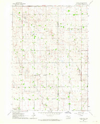
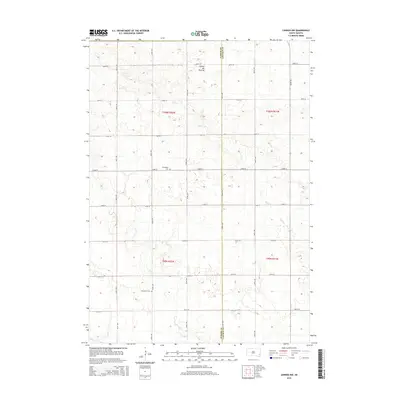
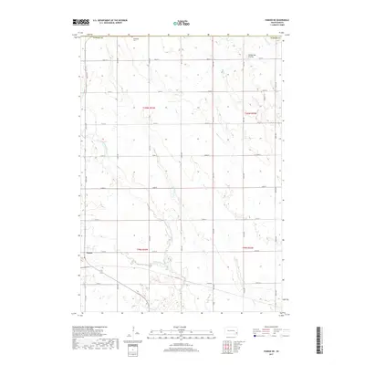
(27)- 1897 Map of Canton, 1954 Print
 1897 Canton1954 Print · USGSSoutheastern South Dakota and the Iowa borderlands were undergoing a railway-driven expansion during the 1890s. Genealogists and historians can trace early settlements like Beloit, Centerville, and Lennox as they grew along the Big Sioux River.
 - 1898 Map of Parker
 1898 Parker1898 Print · USGSSoutheastern South Dakota in the late nineteenth century shows a landscape defined by the expansion of the Chicago and Northwestern railroad. Genealogists and local historians can trace early settlements and pioneer-era post offices like Idylwilde, Hurley, and the prominent rise of Turkey Ridge.4 unique versions available
 - 1900 Map of Canton
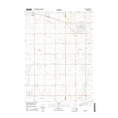
 1900 Canton1900 Print · USGSSoutheastern South Dakota and the Iowa borderlands are captured here at a peak of late-nineteenth-century rail expansion. Genealogists can trace the early foundations of towns like Canton, Centerville, and Beresford along the Big Sioux River.2 unique versions available
 - 1955 Map of Sioux Falls, 1967 Print
 1955 Sioux Falls1967 Print · USGSThe eastern South Dakota and western Minnesota borderlands come alive in the mid-fifties, showing the vital rail-to-river connections of the era. Genealogists can trace family footprints across townships like Madison and Pipestone, while following the paths of the Big Sioux River and the Chicago and North Western line.3 unique versions available
 - 1958 Map of Sioux Falls
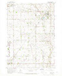
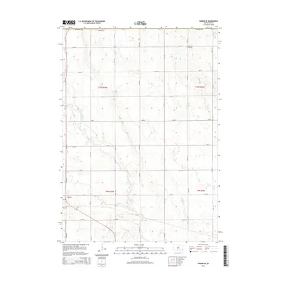
 1958 Sioux Falls1958 Print · USGSThe tri-state borderlands of South Dakota, Minnesota, and Iowa are captured here during the mid-century peak of the regional rail network. Genealogists and historians can trace local landmarks like Augustana Academy, the St Marys Cem, and the path of the Illinois Central through Rock Rapids.
 - 1962 Map of Lennox NW, 1964 Print
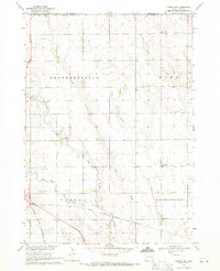
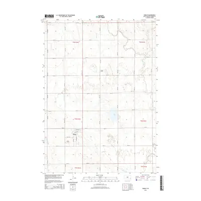
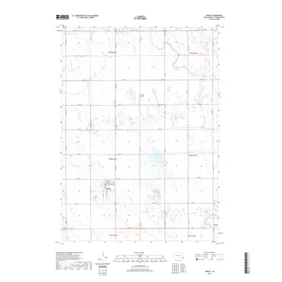
 1962 Lennox NW1964 Print · USGSThe rural landscape of Turner County comes into focus in the early sixties, showing a region of dense family farms and township schools. Researchers can locate many local landmarks, from the Norwegian Cem and Chancellor Cem to the tracks of the Great Northern railroad.2 unique versions available
 - 1964 Map of Lennox, 1966 Print
 1964 Lennox1966 Print · USGSThe rural prairie of Lincoln and Turner Counties comes alive in the 1960s, showing a well-established network of rail towns and country school districts. Researchers can trace family roots through sites like Delaware Ch, Lennox Cem, and several schoolhouses including Sunny Side Sch.
 - 1968 Map of Parker NE, 1971 Print
 1968 Parker NE1971 Print · USGSTurner County farm country and the river forks near Parker are captured here in the late sixties. Genealogists can locate family landmarks like Wellington Cem or rural schoolhouses including Stanford Sch and Sletten Sch.
 - 1968 Map of Hurley, 1971 Print
 1968 Hurley1971 Print · USGSTurner County at the end of the sixties reveals a landscape of railroad towns and prairie rivers. Genealogists and local historians can trace family roots near Hurley, locate the Stoddard Sch, or follow the Chicago and North Western rail line.
 - 1985 Map of Freeman
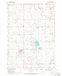
 1985 Freeman1985 Print · USGSThe James River valley in the mid-1980s reveals a landscape of communal farming colonies and railroad-anchored prairie towns. Researchers can trace the layout of several Hutterite settlements like Maxwell Colony or locate local landmarks like Gagna Station and Turkey Ridge.2 unique versions available
 - 1985 Map of Rock Rapids
 1985 Rock Rapids1985 Print · USGSThe borderlands of South Dakota and Iowa come into focus in the mid-1980s, centered on the fertile valleys of the Big Sioux River. Genealogists and researchers can trace rural homesteads near Rock Rapids, find Dordt College in Sioux Center, or locate old burial sites like Grace Hill Cem.2 unique versions available
 - 2012 Map of Hurley, 2012 Print
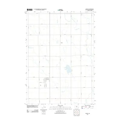 2012 Hurley2012 Print · USGSCovers Germantown Township, including Hurley, Davis, and other nearby areas
 - 2012 Map of Parker NE, 2012 Print
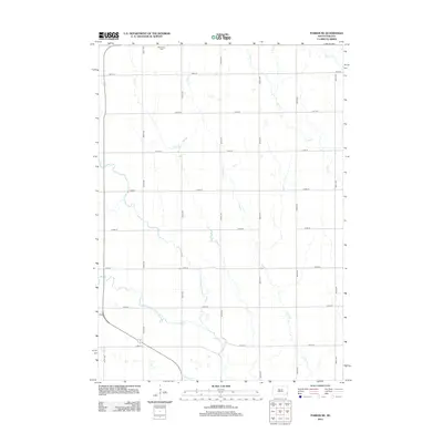 2012 Parker NE2012 Print · USGSCovers Germantown Township, including Parker, Wellington Township, and other nearby areas
 - 2012 Map of Lennox, 2012 Print
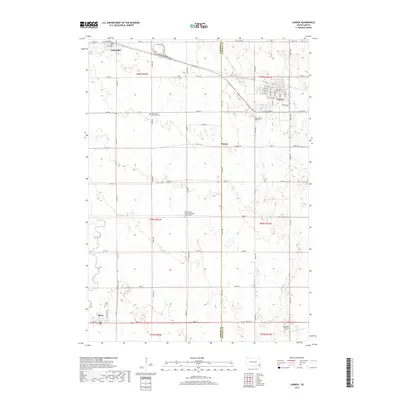
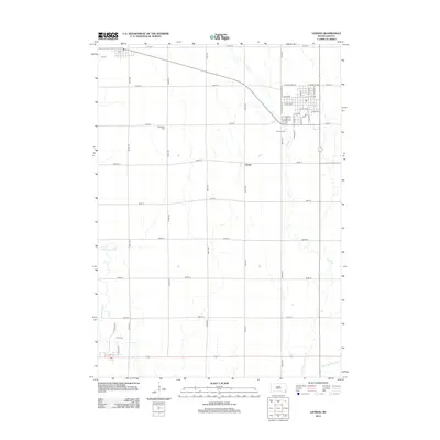 2012 Lennox2012 Print · USGSCovers Germantown Township, including Lennox, Chancellor, and other nearby areas
 - 2012 Map of Lennox NW, 2012 Print
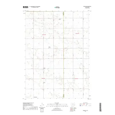
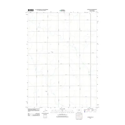 2012 Lennox NW2012 Print · USGSCovers Germantown Township, including Chancellor, Home Township, and other nearby areas
 - 2015 Map of Lennox NW, 2015 Print
 2015 Lennox NW2015 Print · USGSCovers Germantown Township, including Chancellor, Home Township, and other nearby areas
 - 2015 Map of Lennox, 2015 Print
 2015 Lennox2015 Print · USGSCovers Germantown Township, including Lennox, Chancellor, and other nearby areas
 - 2015 Map of Hurley, 2015 Print
 2015 Hurley2015 Print · USGSCovers Germantown Township, including Hurley, Davis, and other nearby areas
 - 2015 Map of Parker NE, 2015 Print
 2015 Parker NE2015 Print · USGSCovers Germantown Township, including Parker, Wellington Township, and other nearby areas
 - 2017 Map of Parker NE, 2017 Print
 2017 Parker NE2017 Print · USGSCovers Germantown Township, including Parker, Wellington Township, and other nearby areas
 - 2017 Map of Hurley, 2017 Print
 2017 Hurley2017 Print · USGSCovers Germantown Township, including Hurley, Davis, and other nearby areas
 - 2017 Map of Lennox NW, 2017 Print
 2017 Lennox NW2017 Print · USGSCovers Germantown Township, including Chancellor, Home Township, and other nearby areas
 - 2017 Map of Lennox, 2017 Print
 2017 Lennox2017 Print · USGSCovers Germantown Township, including Lennox, Chancellor, and other nearby areas
 - 2021 Map of Lennox NW, 2021 Print
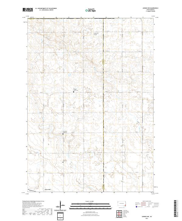 2021 Lennox NW2021 Print · USGSTurner County farmland at the start of the 2020s shows a landscape of enduring rural heritage along the Coteau des Prairies. Researchers can locate historic burial grounds including Norwegian Pioneer Lutheran Cem and Chancellor Baptist Cem.
 - 2021 Map of Lennox, 2021 Print
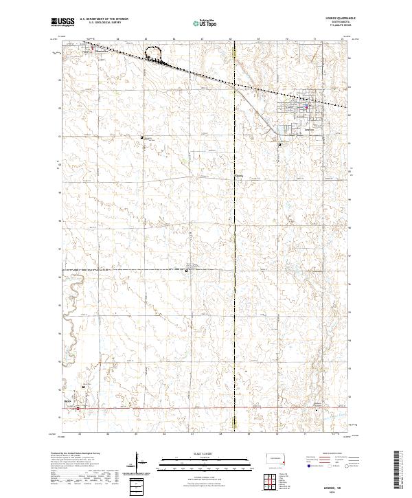 2021 Lennox2021 Print · USGSSoutheastern South Dakota’s agricultural heartland is captured here just as modern infrastructure meets traditional prairie settlements. Genealogists can locate several rural burial grounds including Lennox Cem, Davis Cem, and the Delaware Reformed Cem.
Showing maps 1-25 of 27
Top cities near Germantown Township
- Sioux Falls historical maps
- Harrisburg historical maps
- Tea historical maps
- Hartford historical maps
- Lennox historical maps
- Parker historical maps
See more
Top neighborhoods of Germantown Township
Frequently asked questions
- What are the different types of historical maps available for Germantown Township?
- What is the oldest map of Germantown Township?
- Where can I purchase historical maps of Germantown Township for my home or office?
- Where can I download high-res historical maps of Germantown Township?
- Are there historical topographic maps available for Germantown Township?
- Is there historical aerial imagery available for Germantown Township?
- Where are historical maps of Germantown Township sourced from?