Old Maps of Rosefield Township, South Dakota for Hiking & Exploration
Hike through history with 12 historic maps of Rosefield Township. Explore old trails, ghost towns, and forgotten backroads — perfect for outdoor adventurers and local explorers.
- Rediscover forgotten places: Map out old mining camps, roads, and footpaths that no longer exist on modern maps.
- Layer with modern tools: Combine with LiDAR or satellite views to plan hikes through historical terrain.
- Made for exploration: Popular among hikers, overlanders, and local history lovers.
Use these maps to find adventure and explore the hidden past of Rosefield Township.
Rosefield Township, SD maps
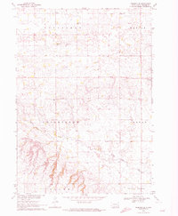
(12)- 1898 Map of Parker
 1898 Parker1898 Print · USGSSoutheastern South Dakota in the late nineteenth century shows a landscape defined by the expansion of the Chicago and Northwestern railroad. Genealogists and local historians can trace early settlements and pioneer-era post offices like Idylwilde, Hurley, and the prominent rise of Turkey Ridge.4 unique versions available
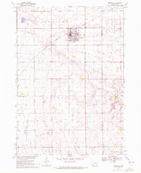
 - 1955 Map of Sioux Falls, 1967 Print
 1955 Sioux Falls1967 Print · USGSThe eastern South Dakota and western Minnesota borderlands come alive in the mid-fifties, showing the vital rail-to-river connections of the era. Genealogists can trace family footprints across townships like Madison and Pipestone, while following the paths of the Big Sioux River and the Chicago and North Western line.3 unique versions available
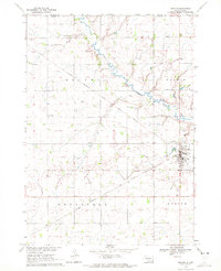
 - 1958 Map of Sioux Falls
 1958 Sioux Falls1958 Print · USGSThe tri-state borderlands of South Dakota, Minnesota, and Iowa are captured here during the mid-century peak of the regional rail network. Genealogists and historians can trace local landmarks like Augustana Academy, the St Marys Cem, and the path of the Illinois Central through Rock Rapids.
 - 1970 Map of Freeman SE, 1972 Print
 1970 Freeman SE1972 Print · USGSTurner County's agricultural heartland is documented in the early seventies, showing a landscape defined by the township grid and the elevations of Turkey Ridge. Genealogists and historians can locate rural landmarks like Salem Zion Ch, North Star Sch, and Schlosser Cem.
 - 1970 Map of Freeman, 1972 Print
 1970 Freeman1972 Print · USGSHutchinson County agriculture and education are centered here in the early 1970s as the rail line still serves the prairie. Genealogists can trace family landmarks like Knodel Cem, Brookside Sch, and the campus of Freeman Jr College.
 - 1970 Map of Marion, 1972 Print
 1970 Marion1972 Print · USGSThe prairie landscape of southeastern South Dakota is captured here in the early seventies, centered on the rail hub of Marion. Genealogists and local historians can locate numerous rural landmarks like Dicks Sch, Bethesda Ch, and Tieszen Cem.
 - 1970 Map of Dolton, 1972 Print
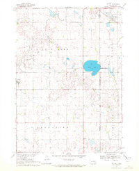 1970 Dolton1972 Print · USGSSoutheast South Dakota's prairie landscape is documented here in the early seventies at the intersection of three counties. Genealogists and local historians can locate specific family landmarks such as Tschetter Cem and Hutterthal Ch near the waters of Silver Lake.
 - 1985 Map of Freeman
 1985 Freeman1985 Print · USGSThe James River valley in the mid-1980s reveals a landscape of communal farming colonies and railroad-anchored prairie towns. Researchers can trace the layout of several Hutterite settlements like Maxwell Colony or locate local landmarks like Gagna Station and Turkey Ridge.2 unique versions available
 - 2021 Map of Dolton, 2021 Print
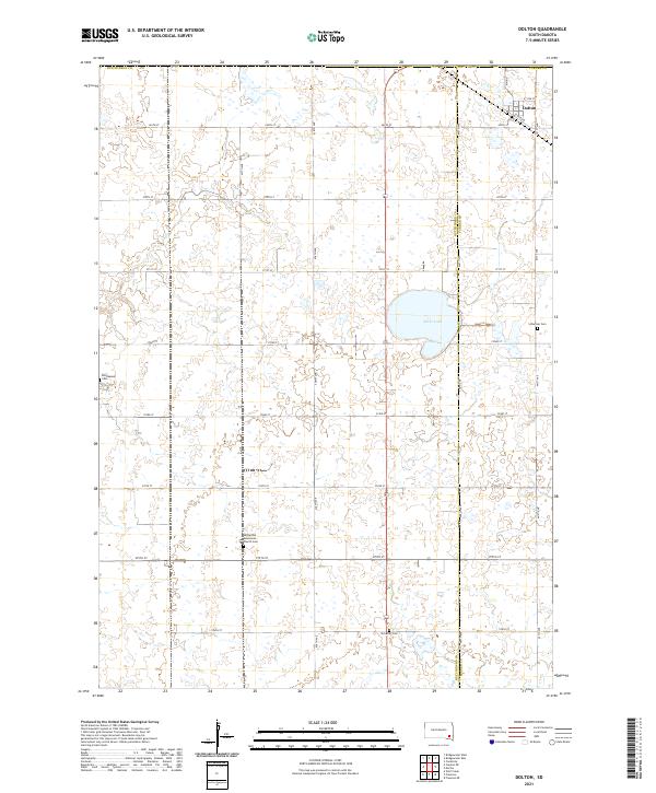 2021 Dolton2021 Print · USGSThe agricultural plains at the border of Hutchinson and Turner counties are shown here as they appeared in the early 2020s. Genealogists can locate legacy burial sites like the Hutterthal Mennonite Church Cem and Tschetter Cem near the town of Dolton.
 - 2021 Map of Marion, 2021 Print
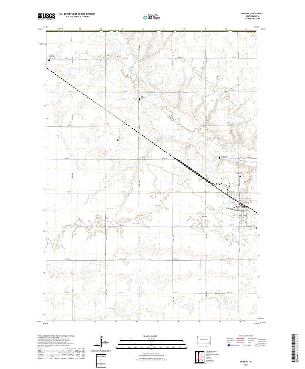 2021 Marion2021 Print · USGSSoutheast South Dakota's prairie landscape is recorded here in the early twenty-first century, centered on the rural hub of Marion. Local history researchers can trace numerous family and church burial sites, including Tieszen Cem, Buller Ensz Cem, and Our Lady of Lourdes Catholic Cem.
 - 2021 Map of Freeman, 2021 Print
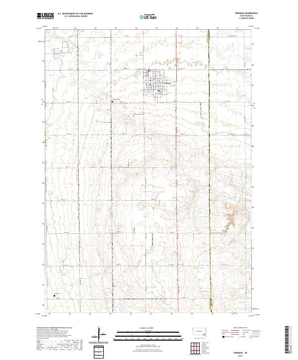 2021 Freeman2021 Print · USGSThe town of Freeman and the surrounding farmland are captured here in the early 2020s, showing the intersection of rural life and natural prairie drainage. Researchers can trace family history at the Freeman Cem and Knodel Cem or follow the path of Turkey Ridge Cr.
 - 2021 Map of Freeman SE, 2021 Print
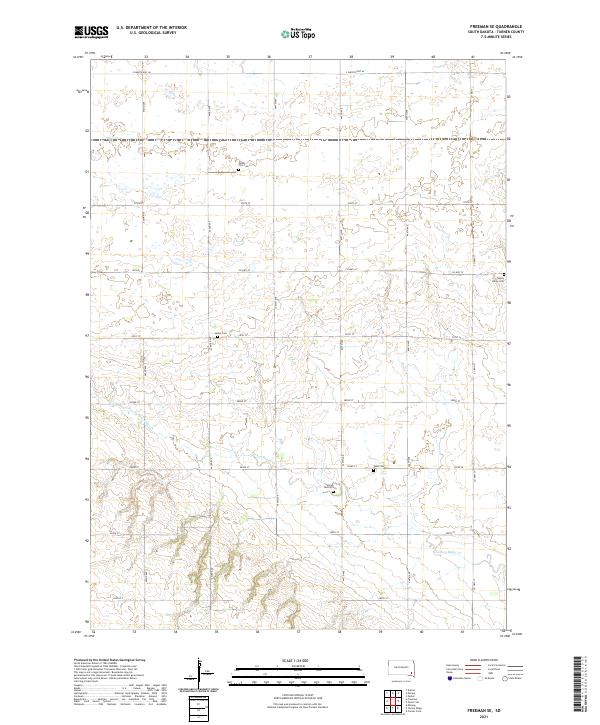 2021 Freeman SE2021 Print · USGSSoutheast Turner County is shown in detail during the early 2020s, revealing a landscape of family farms and rural heritage. Genealogists can locate several local burial grounds including Salem Zion Cem, Turkey Valley Cem, and the Unruh Family Cem.
End of results
Showing maps 1-12 of 12
Top cities near Rosefield Township
- Freeman historical maps
- Parker historical maps
- Marion historical maps
- Canistota historical maps
- Bridgewater historical maps
- Spring Valley historical maps
See more
Frequently asked questions
- What are the different types of historical maps available for Rosefield Township?
- What is the oldest map of Rosefield Township?
- Where can I purchase historical maps of Rosefield Township for my home or office?
- Where can I download high-res historical maps of Rosefield Township?
- Are there historical topographic maps available for Rosefield Township?
- Is there historical aerial imagery available for Rosefield Township?
- Where are historical maps of Rosefield Township sourced from?