Old Maps of Elk Point Township, South Dakota for Metal Detecting
Plan your next treasure hunt with 25 historic maps of Elk Point Township. Find old homesites, ghost towns, trails, and gathering spots that may be lost to time — perfect for identifying promising metal detecting locations.
- Locate forgotten sites: Uncover places like long-lost settlements, abandoned rail lines, or gathering spots.
- Plan better hunts: Use map overlays combined with LiDAR or satellite views to narrow in on historically rich areas.
- Made for detectorists: Thousands of hobbyists use these maps to discover relics, coins, and hidden history.
Use these historic maps to boost your research and find new opportunities beneath the surface of Elk Point Township.
Elk Point Township, SD maps
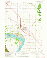
(25)- 1898 Map of Elk Point, 1960 Print
 1898 Elk Point1960 Print · USGSThe tri-state borderlands of South Dakota, Nebraska, and Iowa are captured here in the late nineteenth century as a landscape of ferries and river-fed commerce. Researchers can trace the early foundations of Elk Point and Vermillion or locate vanished crossings like Ionia Ferry and the Ponca Ferry.2 unique versions available
 - 1901 Map of Elk Point
 1901 Elk Point1901 Print · USGSThe tri-state borderlands of South Dakota, Nebraska, and Iowa are captured here at the turn of the century during the peak of the steam rail era. Researchers can trace the original paths of the Chicago Milwaukee and St. Paul Ry. and locate early settlements like Spirit Mound, Newcastle, and Burbank.
 - 1907 Map of Elk Point
 1907 Elk Point1907 Print · USGSThe tri-state borderlands of South Dakota, Nebraska, and Iowa are shown here at the start of the century, centered on the Missouri and Big Sioux river valleys. Researchers can trace the river's old path through oxbows like Mc Cook Lake and locate early river crossings including Vermilion Ferry and Ponca Ferry.6 unique versions available
 - 1955 Map of Sioux City, 1959 Print
 1955 Sioux City1959 Print · USGSThe Missouri River valley in the mid-fifties is captured here during a time of major engineering and social transition. Genealogists and historians can trace the foundations of Gavins Point Dam, tribal boundaries on the Santee Sioux Indian Reservation, and local landmarks like the Norfolk State Hospital.4 unique versions available
 - 1958 Map of Sioux City
 1958 Sioux City1958 Print · USGSThe Missouri River valley in the late fifties was a bustling intersection of tribal lands, rail corridors, and river towns. Genealogists can trace family roots through specific rural sites like Daisy Valley School, St Johns Church and School, and Yankton State Hospital.
 - 1959 Map of Sioux City
 1959 Sioux City1959 Print · USGSThe tri-state region surrounding the Missouri River is captured here in the late fifties, showing the convergence of Nebraska, South Dakota, and Iowa. Researchers can trace rural lineages through numerous country schoolhouses like Cemetery School and the many numbered Washington School districts.
 - 1963 Map of Elk Point, 1964 Print
 1963 Elk Point1964 Print · USGSThe tri-state borderlands of South Dakota, Nebraska, and Iowa are captured in the early sixties as the modern interstate began to parallel the historic Milwaukee Road. Researchers can locate numerous country schoolhouses like Woodland Sch and Pleasant View Sch or trace the family plots at St Joseph Cem.3 unique versions available
 - 1963 Map of Elk Point NE, 1964 Print
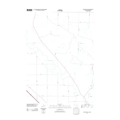
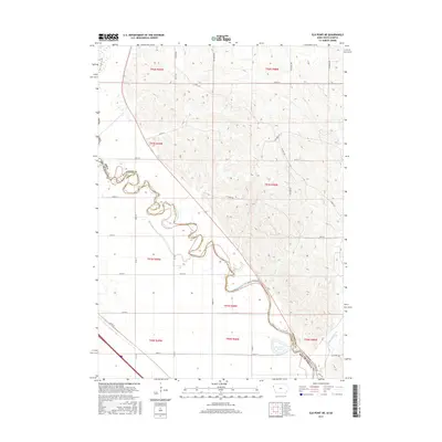
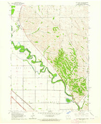 1963 Elk Point NE1964 Print · USGSThe Big Sioux River borderlands between Iowa and South Dakota are shown here in the early sixties, as the river meanders through the Elk Point area. Genealogists can trace local landmarks like Fieldview Sch, Horseshoe Lake, and the winding Broken Kettle Creek.2 unique versions available
 - 1964 Map of Burbank, 1966 Print
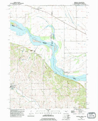
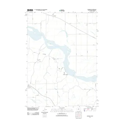
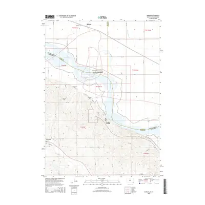
 1964 Burbank1966 Print · USGSThe Missouri River valley at the South Dakota and Nebraska border is captured here in the mid-1960s, showing the intersection of river transport and rail. Researchers can trace family history at Ionia Cem or locate the South Bend Sch and Lembke Landing.
 - 1986 Map of Sioux City North
 1986 Sioux City North1986 Print · USGSThe tri-state borderlands of Iowa, South Dakota, and Nebraska are captured here in the mid-eighties as the region's agricultural and academic centers thrived. Researchers can trace historic rail lines like the Illinois Central Gulf and locate landmarks from Briar Cliff College to the heights of Spirit Mound.2 unique versions available
 - 1994 Map of Burbank, 1995 Print
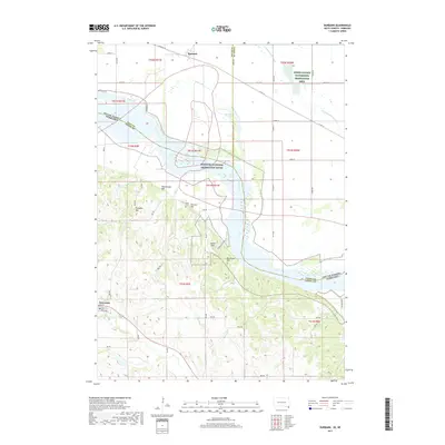
 1994 Burbank1995 Print · USGSThe Missouri River valley at the South Dakota and Nebraska border reveals a mix of prairie rail towns and river bluffs in the 1990s. Trace local family history through Ionia Cem, the town of Newcastle, and the historic Lembke Landing.
 - 2010 Map of Elk Point NE, 2010 Print
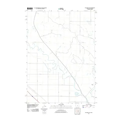 2010 Elk Point NE2010 Print · USGSCovers Elk Point Township, including Civil Bend Township, Jefferson Township, and other nearby areas
 - 2011 Map of Elk Point, 2011 Print
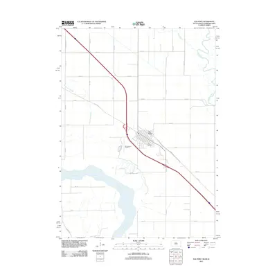 2011 Elk Point2011 Print · USGSCovers Elk Point Township, including Elk Point, Richland Township, and other nearby areas
 - 2012 Map of Elk Point, 2012 Print
 2012 Elk Point2012 Print · USGSCovers Elk Point Township, including Elk Point, Richland Township, and other nearby areas
 - 2012 Map of Burbank, 2012 Print
 2012 Burbank2012 Print · USGSCovers Elk Point Township, including Newcastle, Ponca Township, and other nearby areas
 - 2013 Map of Elk Point NE, 2013 Print
 2013 Elk Point NE2013 Print · USGSCovers Elk Point Township, including Civil Bend Township, Jefferson Township, and other nearby areas
 - 2015 Map of Burbank, 2015 Print
 2015 Burbank2015 Print · USGSCovers Elk Point Township, including Newcastle, Ponca Township, and other nearby areas
 - 2015 Map of Elk Point, 2015 Print
 2015 Elk Point2015 Print · USGSCovers Elk Point Township, including Elk Point, Richland Township, and other nearby areas
 - 2015 Map of Elk Point NE, 2015 Print
 2015 Elk Point NE2015 Print · USGSCovers Elk Point Township, including Civil Bend Township, Jefferson Township, and other nearby areas
 - 2017 Map of Burbank, 2017 Print
 2017 Burbank2017 Print · USGSCovers Elk Point Township, including Newcastle, Ponca Township, and other nearby areas
 - 2017 Map of Elk Point, 2017 Print
 2017 Elk Point2017 Print · USGSCovers Elk Point Township, including Elk Point, Richland Township, and other nearby areas
 - 2018 Map of Elk Point NE, 2018 Print
 2018 Elk Point NE2018 Print · USGSCovers Elk Point Township, including Civil Bend Township, Jefferson Township, and other nearby areas
 - 2021 Map of Elk Point, 2021 Print
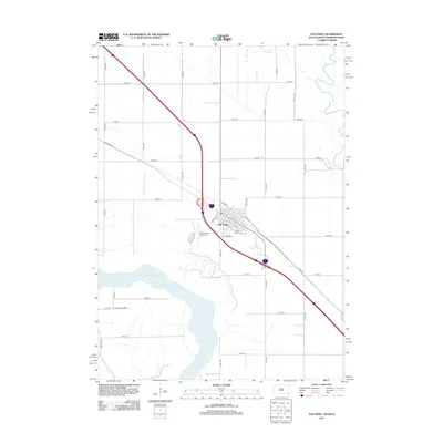
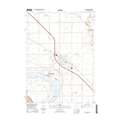
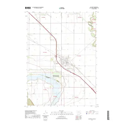
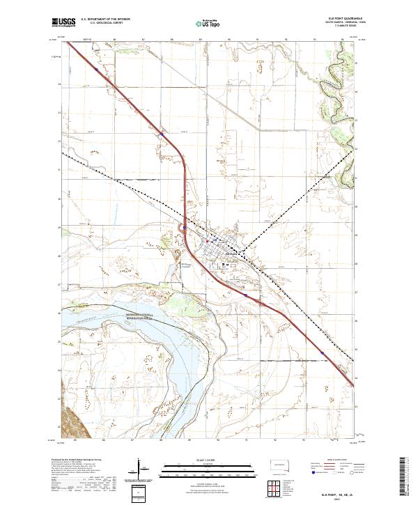 2021 Elk Point2021 Print · USGSThe tri-state junction of South Dakota, Nebraska, and Iowa comes alive in this 2021 study of the river-fed plains. Genealogists and local historians can trace the streets of Elk Point, locating the Union County Courthouse and the nearby Saint Joseph Cem.
 - 2021 Map of Burbank, 2021 Print
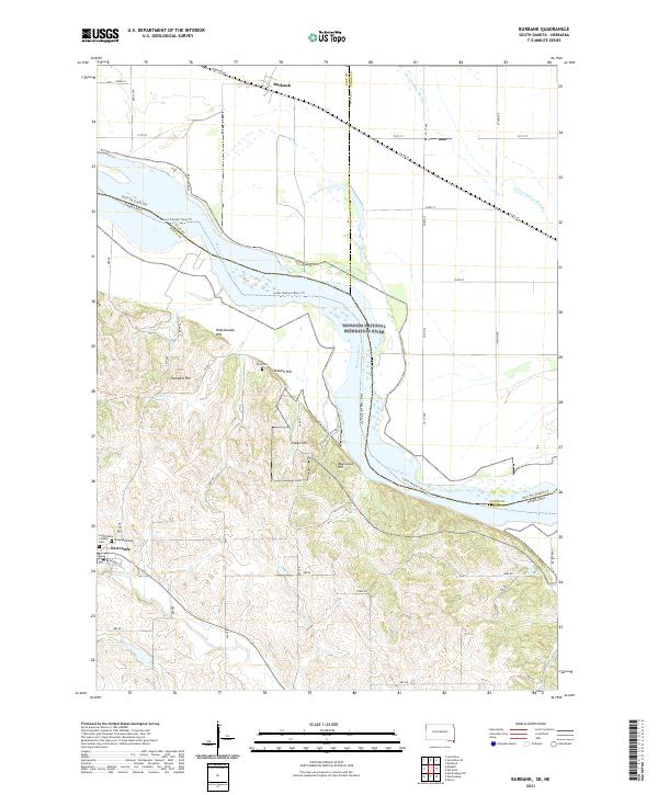 2021 Burbank2021 Print · USGSThe Missouri River borderlands between South Dakota and Nebraska come alive in this recent survey. Genealogists can trace family sites at Saint Peters Calvary Cem and Ionia Cem, or explore the hills around Newcastle and Burbank.
 - 2022 Map of Elk Point NE, 2022 Print
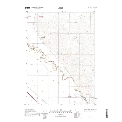
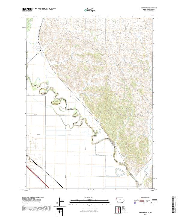 2022 Elk Point NE2022 Print · USGSThe river border between Iowa and South Dakota comes alive on this recent survey of the Loess Hills region. Genealogists and researchers can trace local land divisions and drainage patterns along Big Sioux River, Broken Kettle Cr, and Co Hwy C34.
End of results
Showing maps 1-25 of 25
Top cities near Elk Point Township
- Sioux City historical maps
- Vermillion historical maps
- Dakota Dunes historical maps
- North Sioux City historical maps
- Elk Point historical maps
- Akron historical maps
See more
Top neighborhoods of Elk Point Township
Frequently asked questions
- What are the different types of historical maps available for Elk Point Township?
- What is the oldest map of Elk Point Township?
- Where can I purchase historical maps of Elk Point Township for my home or office?
- Where can I download high-res historical maps of Elk Point Township?
- Are there historical topographic maps available for Elk Point Township?
- Is there historical aerial imagery available for Elk Point Township?
- Where are historical maps of Elk Point Township sourced from?