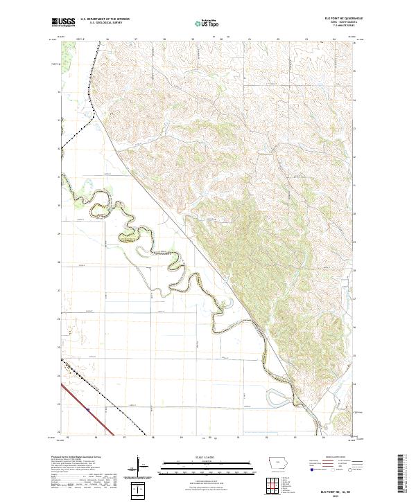
2022 Map of Elk Point NE
USGS Topo · Published 2022About this map
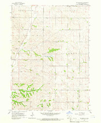
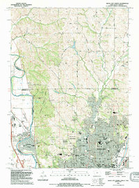
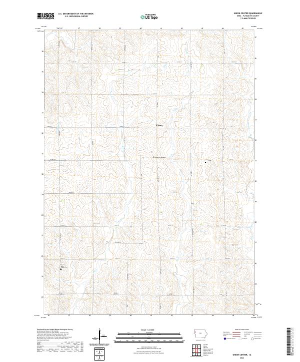
The Big Sioux River carves a winding path through this region, forming the natural border between Iowa and South Dakota. This map focuses on the interface between Plymouth and Union counties, where a distinct transition occurs from the flat bottomlands of the river valley to the dissected uplands of the Loess Hills. The modern recreational utility of the river is highlighted by the Jay Heath Canoe & Kayak Trl, which follows the river's meanders southward.
Find a feature on this map
38 named features on this map. Tap any name to fly to it.
Don’t see what you’re looking for? This feature index may not catch every label — zoom into the map to look around manually.
Map Details
Editions of this 2022 Elk Point NE Map
This is the sole edition of this map. No revisions or reprints were ever made.
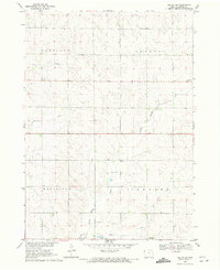
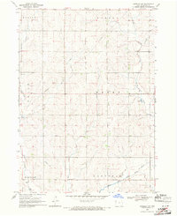
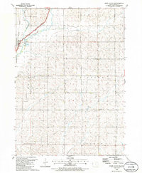
Historical Maps of Elk Point Township Through Time
17 maps found
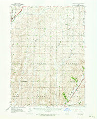
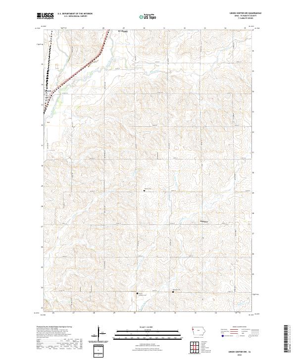
1962 Union Center
Plymouth County, IA
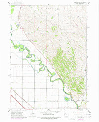
1963 Elk Point NE
Plymouth County, IA
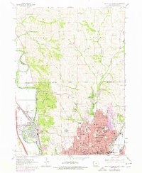
1963 Sioux City North
Plymouth County, IA
1964 Millnerville
Plymouth County, IA
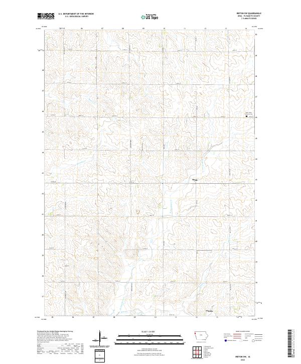
1969 Ireton SW
Plymouth County, IA
1969 Kingsley NW
Plymouth County, IA
1985 Union Center NW
Plymouth County, IA
1985 Union Center
Plymouth County, IA
1986 Sioux City North
Plymouth County, IA
1994 Sioux City North
Plymouth County, IA
2022 Elk Point NE
Plymouth County, IA
2022 Ireton SW
Plymouth County, IA
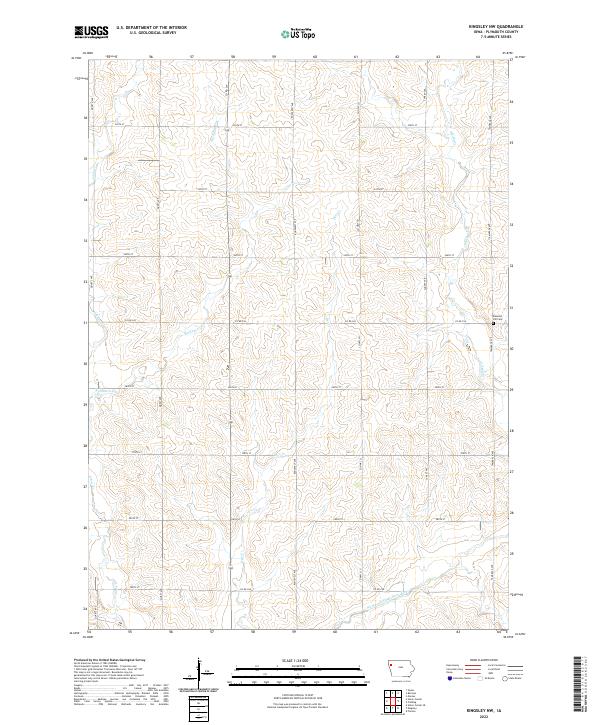
2022 Kingsley NW
Plymouth County, IA
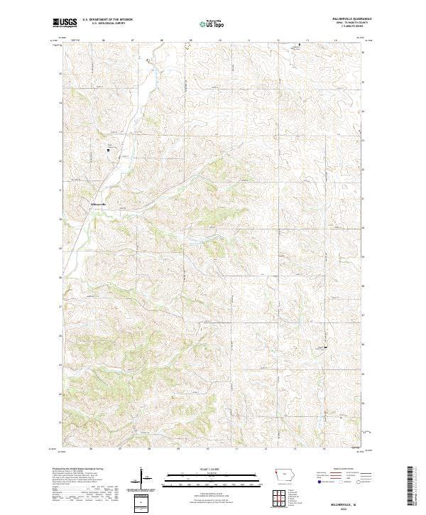
2022 Millnerville
Plymouth County, IA
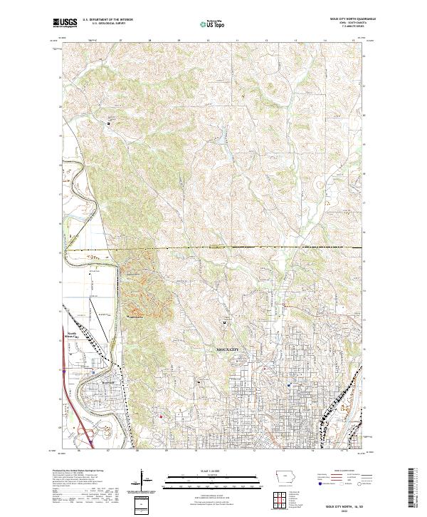
2022 Sioux City North
Plymouth County, IA
2022 Union Center NW
Plymouth County, IA
2022 Union Center
Plymouth County, IA
Featured Locations
- Union County, SD
- Plymouth County, IA
- Elk Point Township, SD
- Jefferson Township, SD
- Civil Bend Township, SD